I woke about 6 am to hear chains rattling somewhere outside our cabin. We’d been cruising all night and had just reached our destination, so I presume it was the sound of the anchors being lowered. I went out on deck for a first look at the Kimberley coastline. The sea was calm and a beautiful azure blue. We were a fair way out from shore, but the red sandstone cliffs were clearly visible in the distance.
Our cruise ship was moored outside the entrance to the King George River. On this cruise we’ve had a number of lectures from scientists aboard, as well as Kimberley-related documentary screenings in the evenings. We’d learnt a little bit about the mapping of the remote Kimberley coastline, and were told that when Phillip Parker King had been the first to accurately map it, he had completely missed the entrance to what is now the King George River. It’s not hard to understand why. From our ship, it did not appear visible, although when we came closer, a little patch of sand we had spied in the distance marked the spot where you can bring a boat in behind it and have the river in front of you. I believe it was a pastoralist looking for grazing land who eventually came across the river and had it added to the map. Of course, the First Nations people had been aware of it for thousands of years.
This part of the Kimberley coastline is a long way from the nearest road, so the river is only accessible from the sea. It was once the location of a famous incident with a ship, the Koolama, which suffered damage from Japanese bombing in 1942 and was brought in here. The passengers and some of the crew came ashore. The captain wanted to repair the boat and resume the dangerous journey north, but the others, including the first mate disagreed, and wanted to return to Broome. A mutiny was shaping up between the captain and members of his crew. Eventually the passengers and some of the crew walked 120 km through the remote, rugged bush to a place where indigenous people saw them and sent runners 80 km to a mission station, from where a rescue vessel was sent in search of them. Only one man died in a flooded river on the trek. Today, the bay where our cruise ship was anchored is known as Koolama Bay.
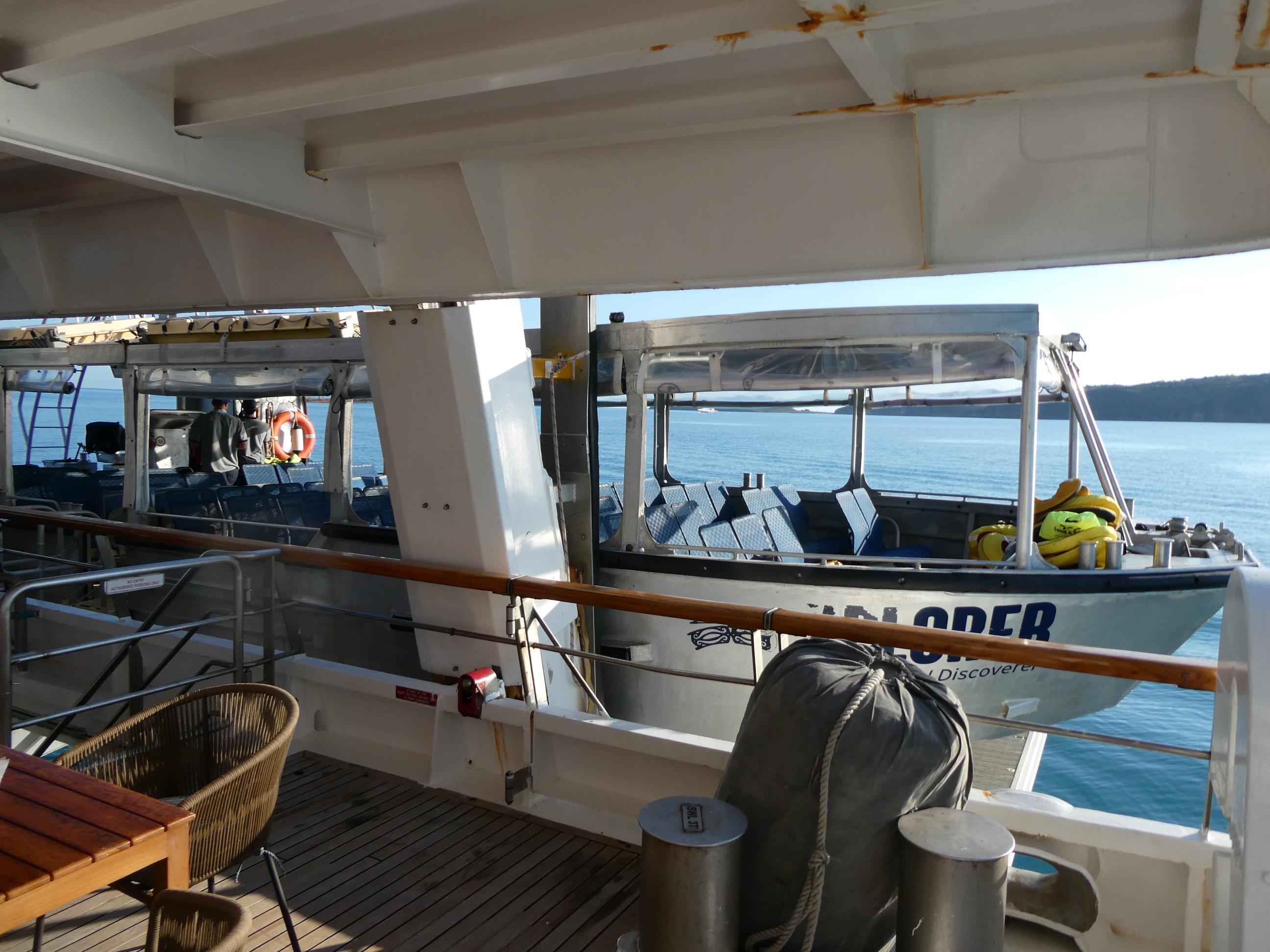
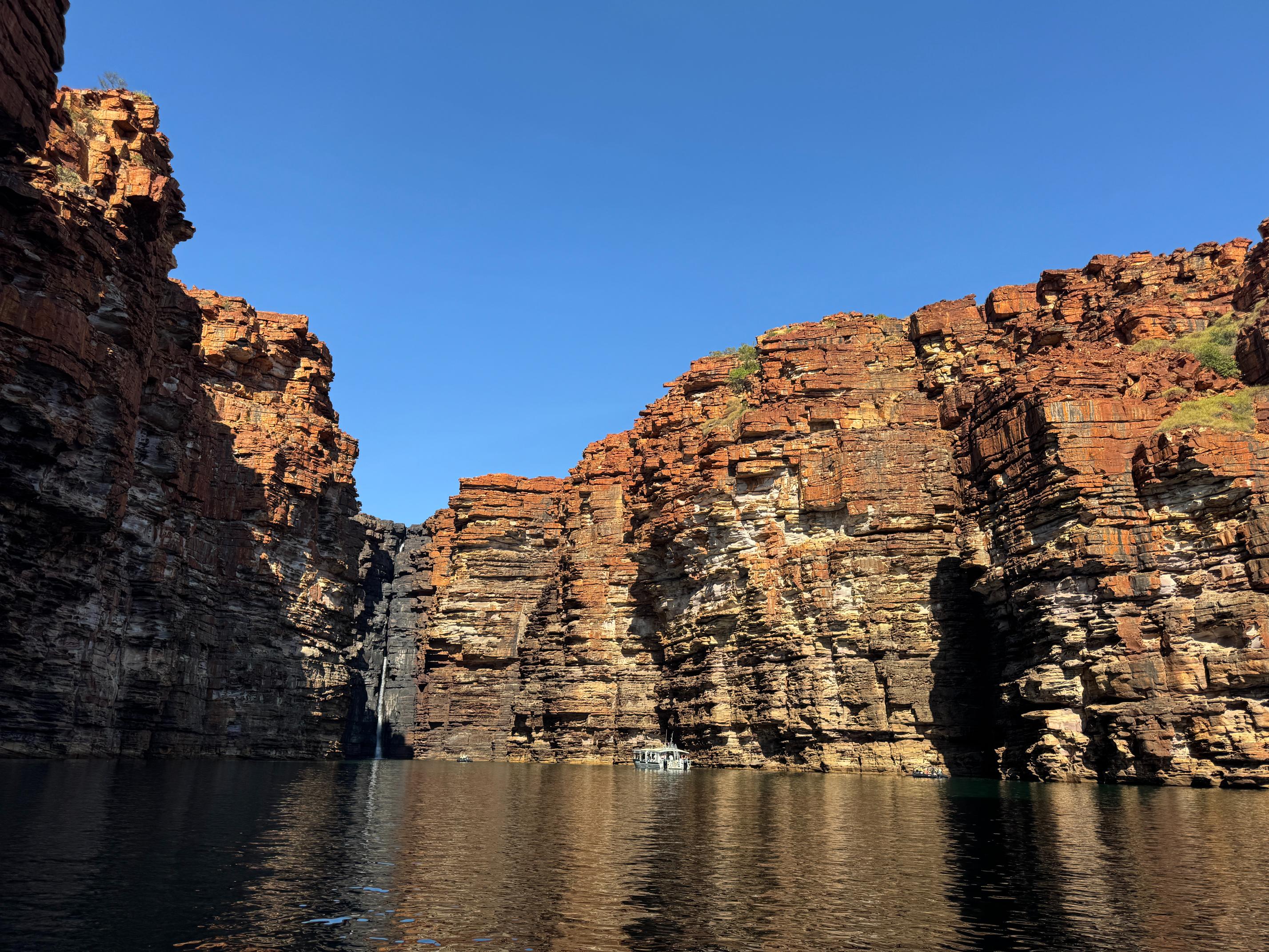
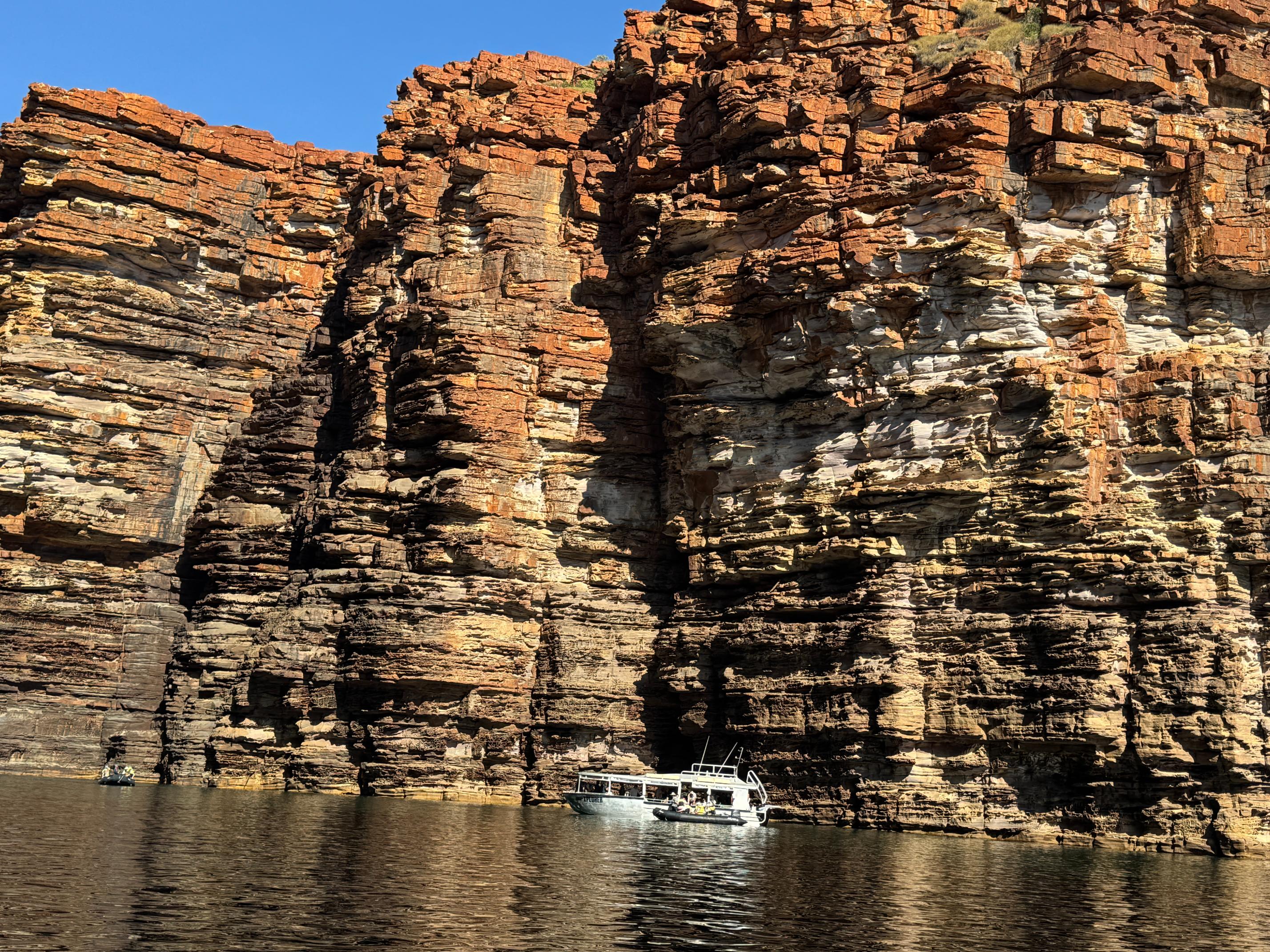
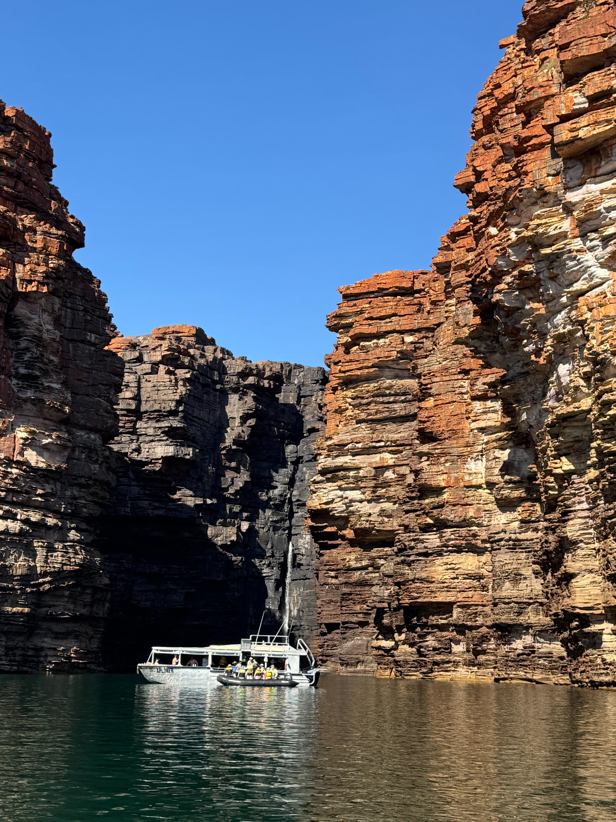
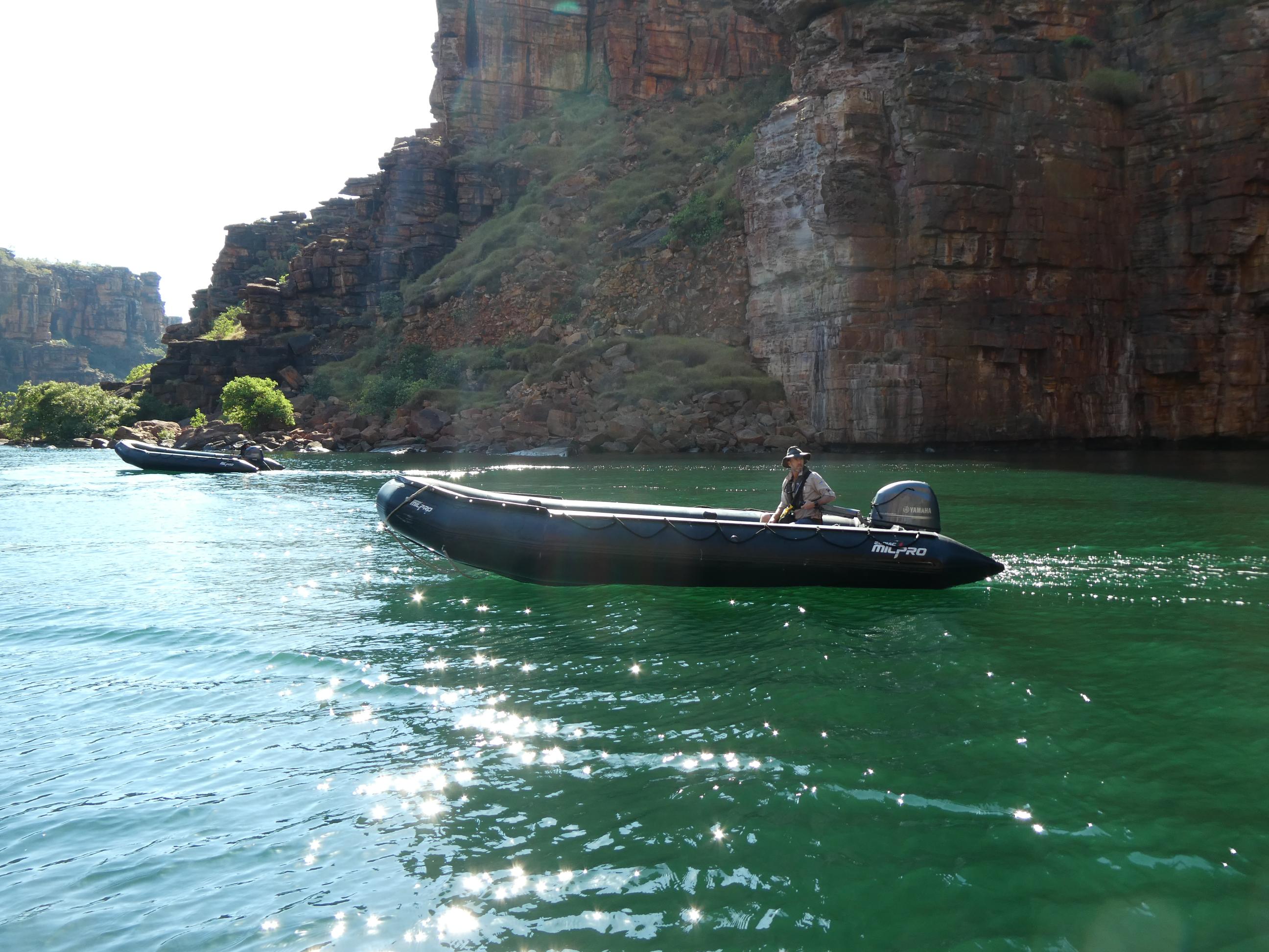
We were a day late beginning our shore excursions, so everyone was eager to get out and see some of the Kimberley. We boarded our ship’s tender vessel, the Xplorer, by walking straight onto it from the main deck, before it was lowered into the water and headed for the mouth of the river. Three of the ship’s zodiacs accompanied us. All 72 passengers on this cruise were able to be seated comfortably on the tender.
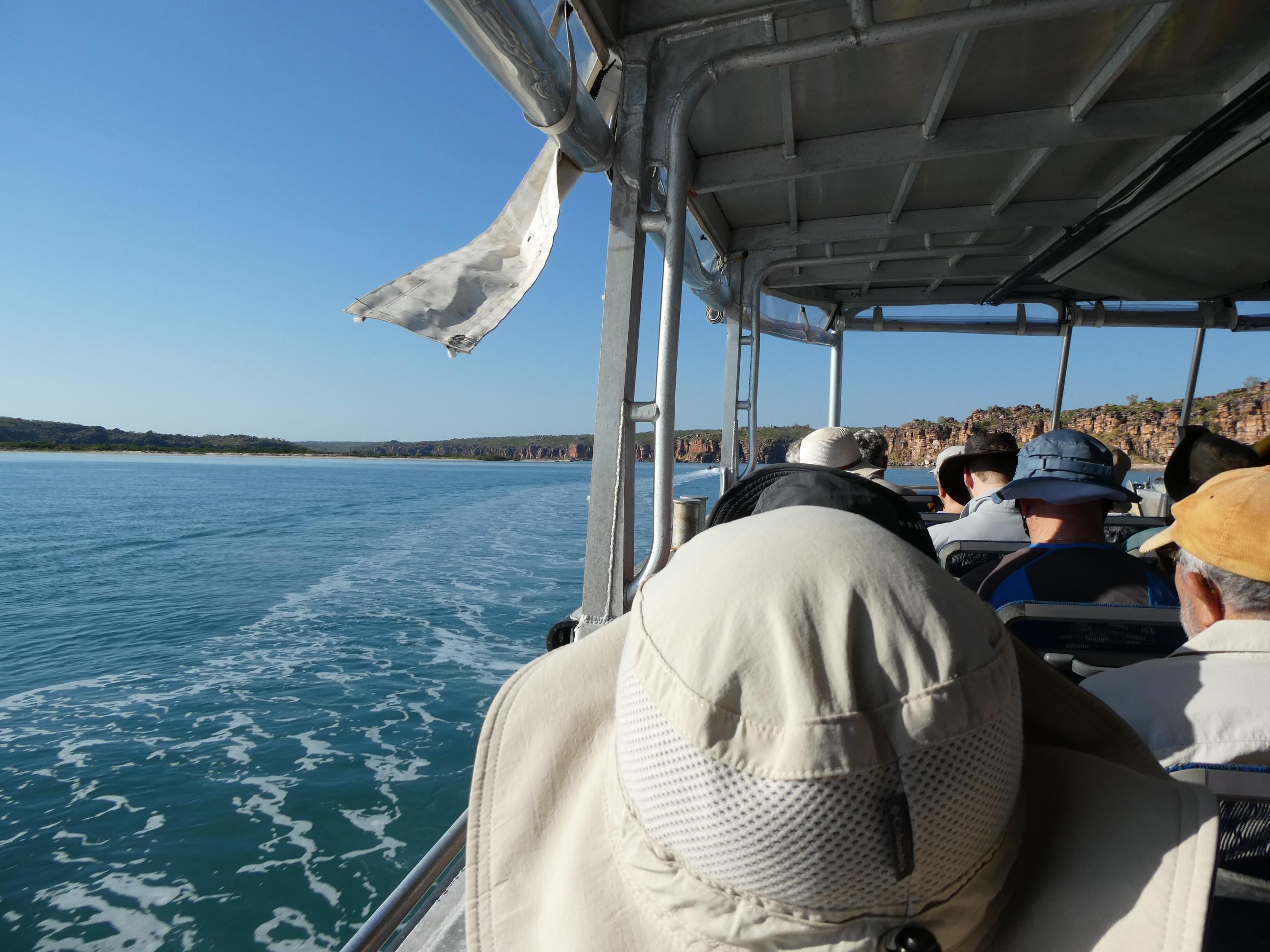
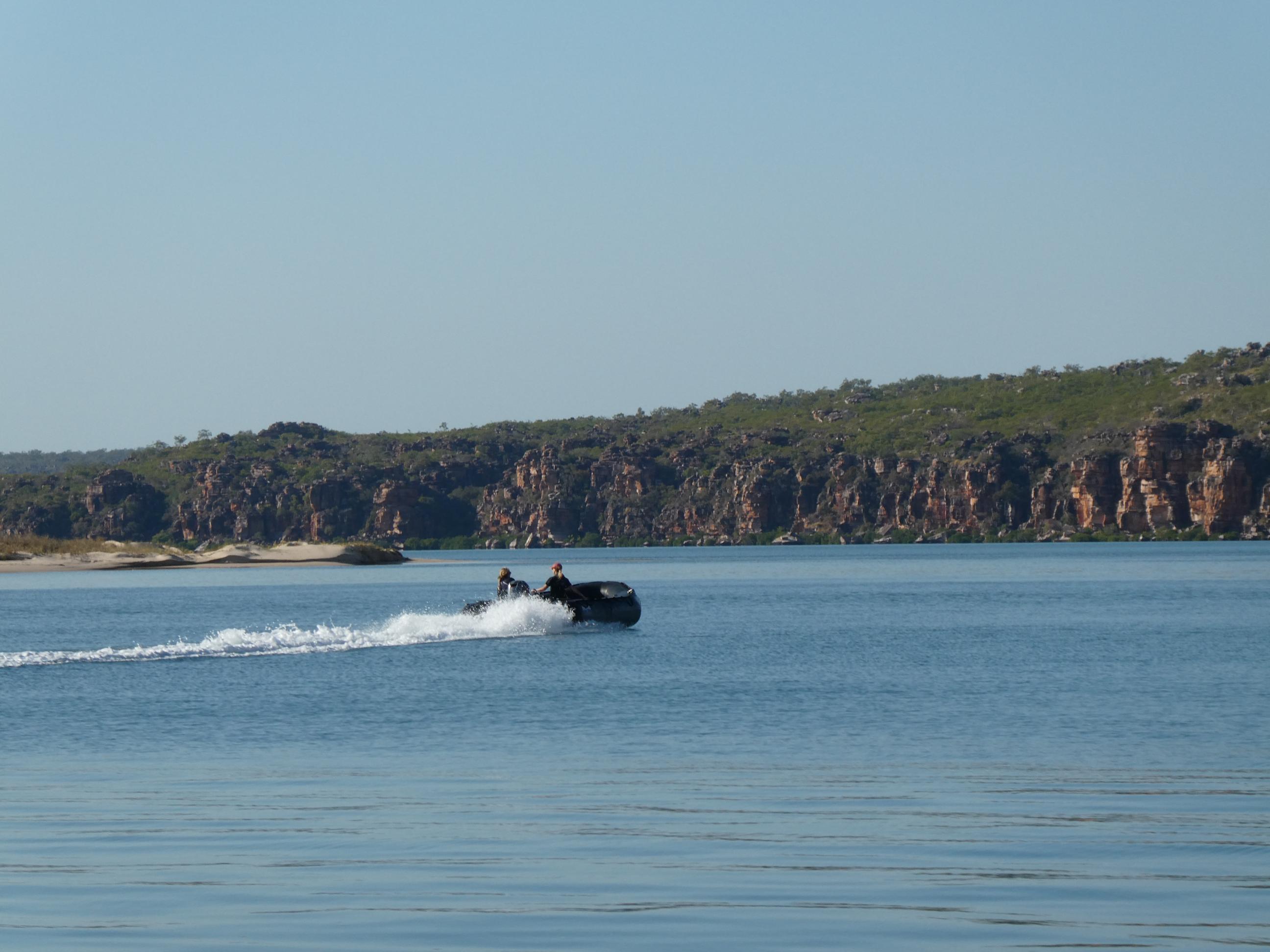
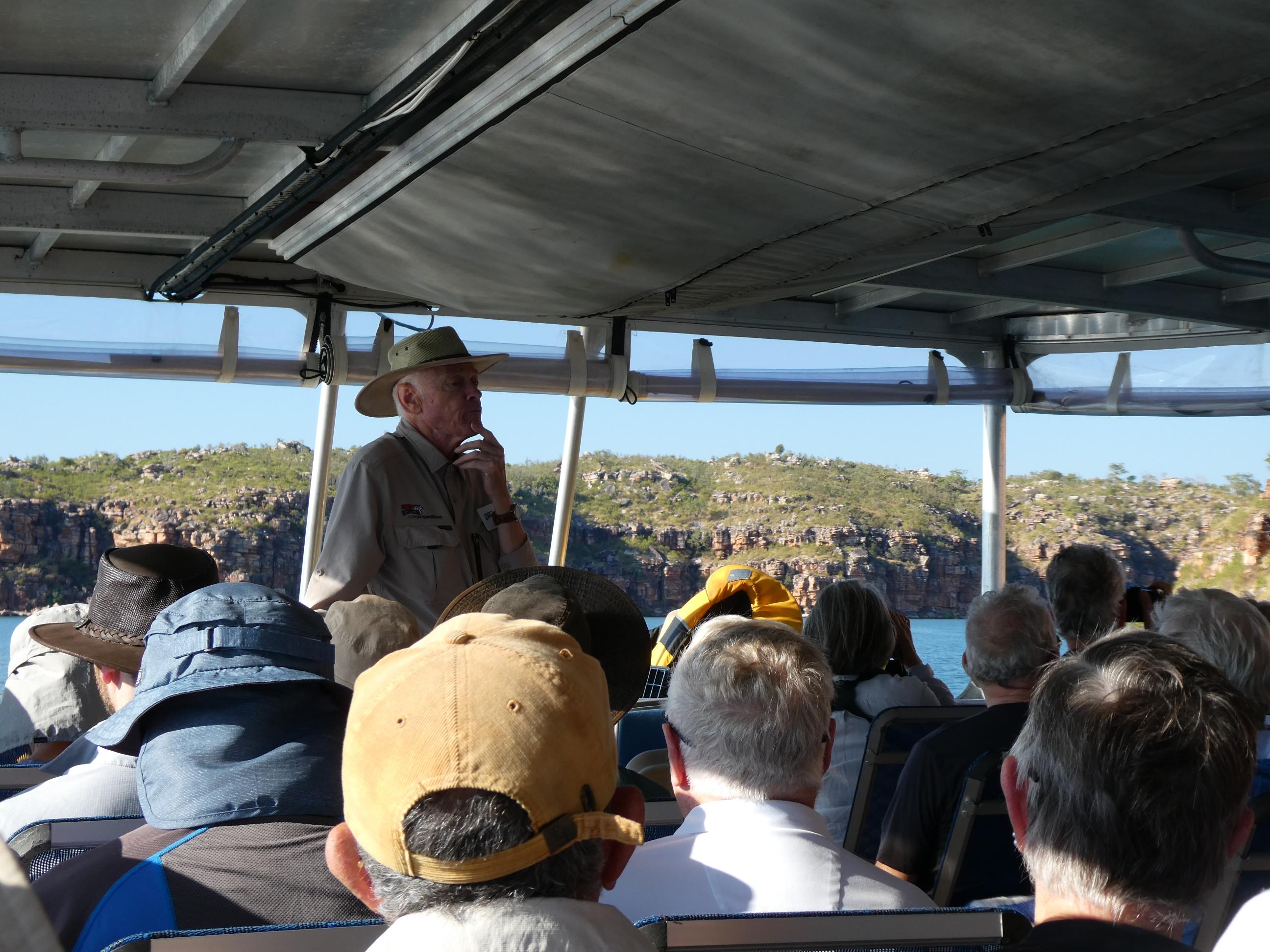
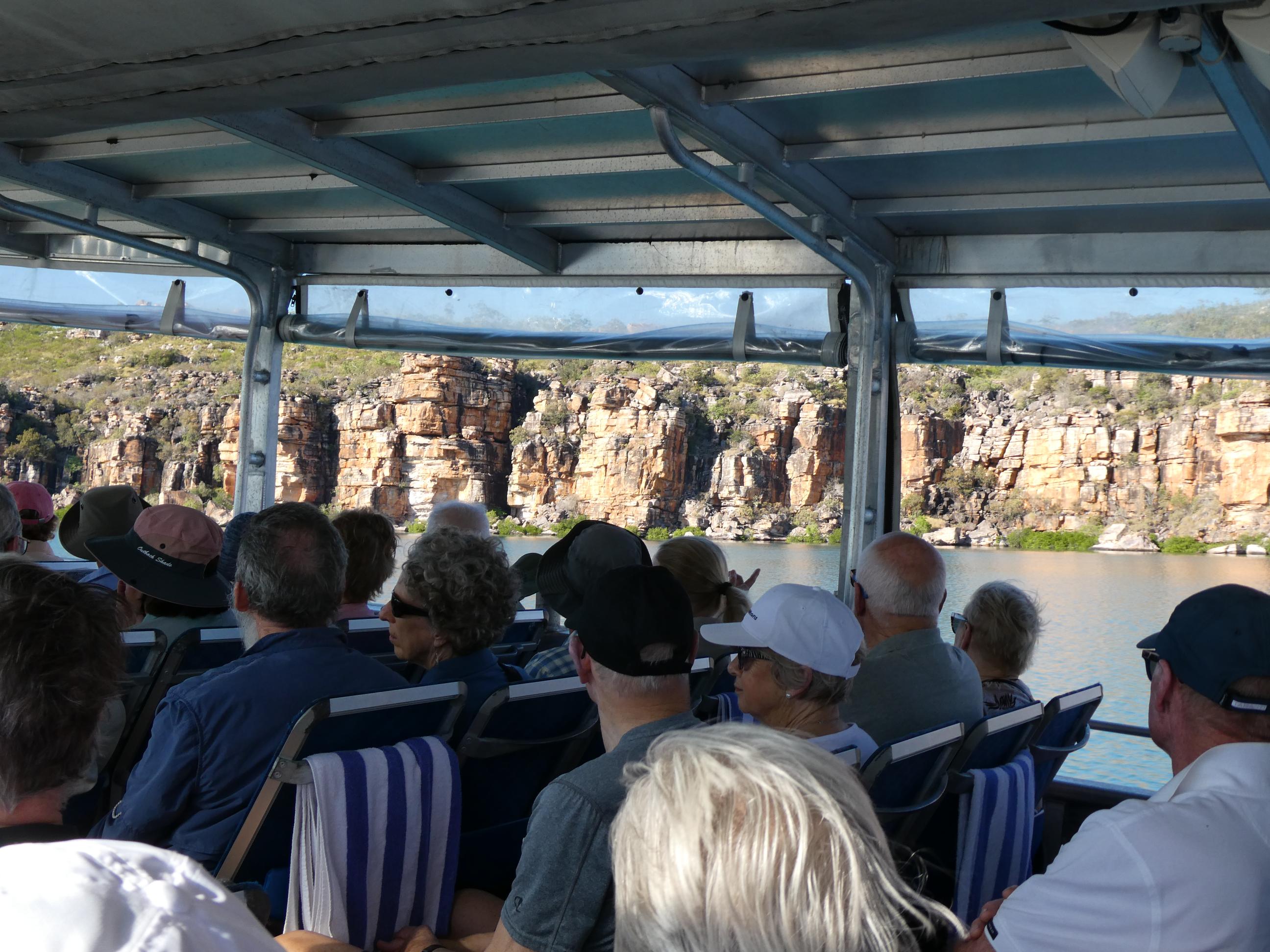
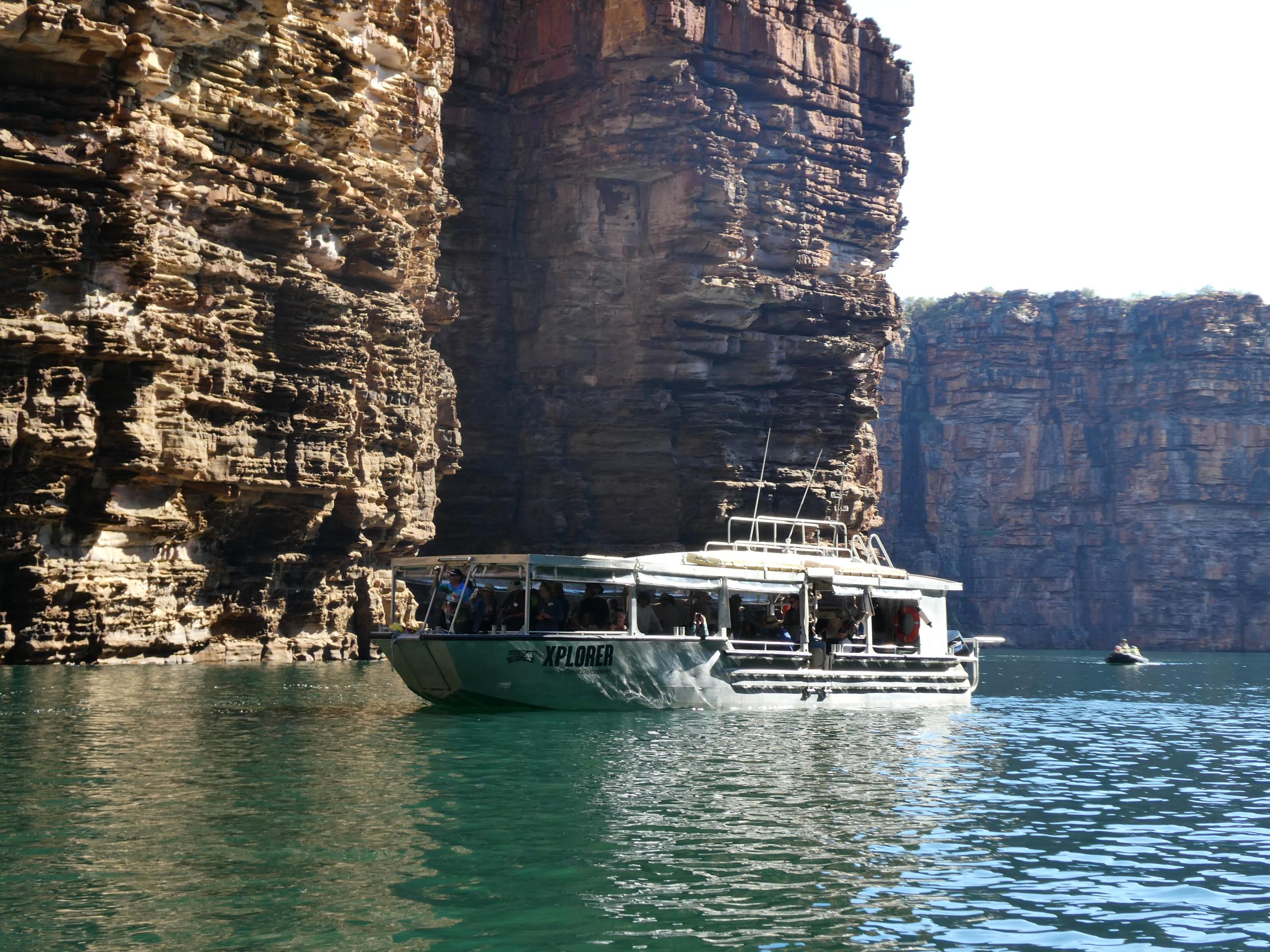
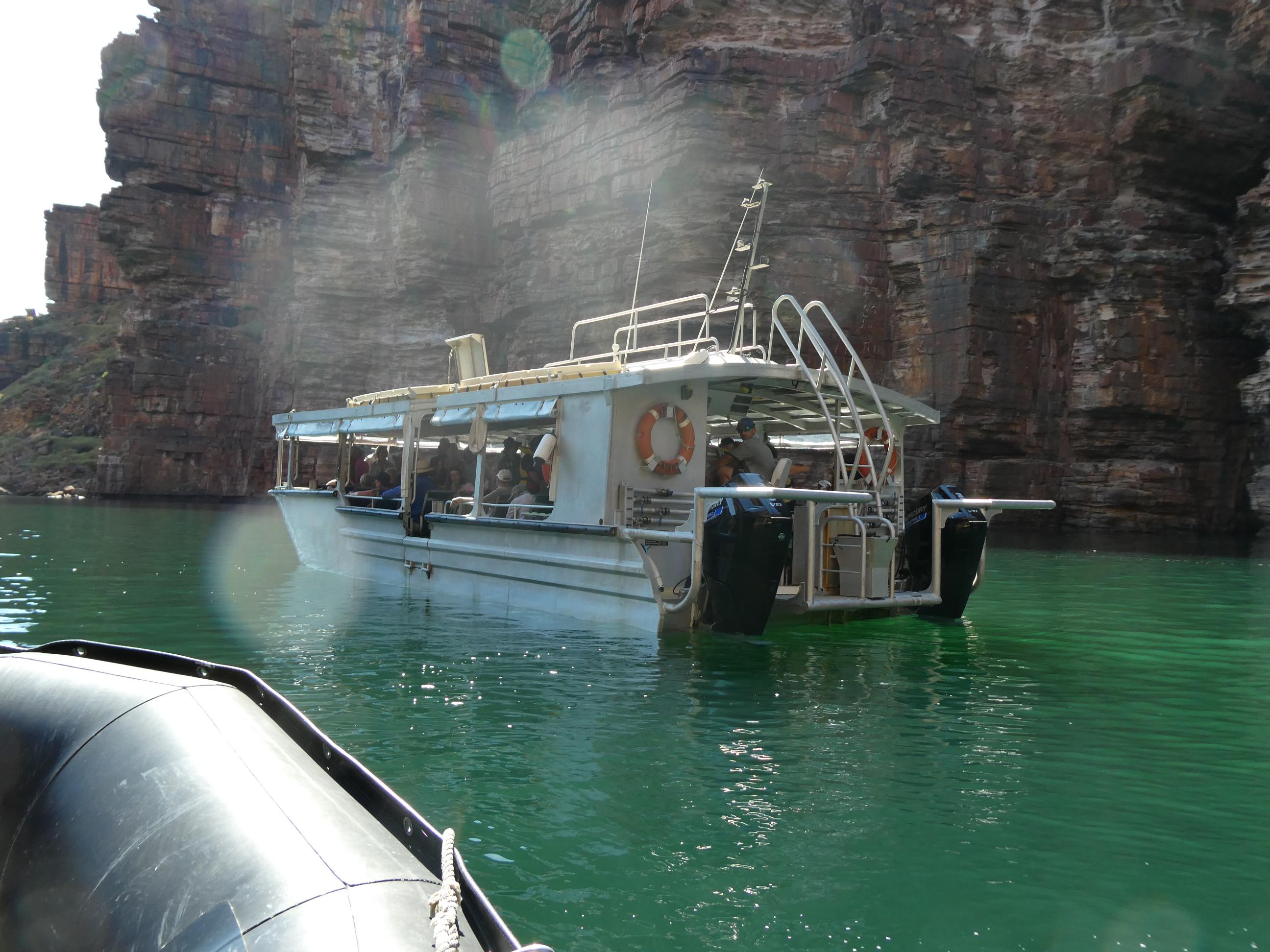
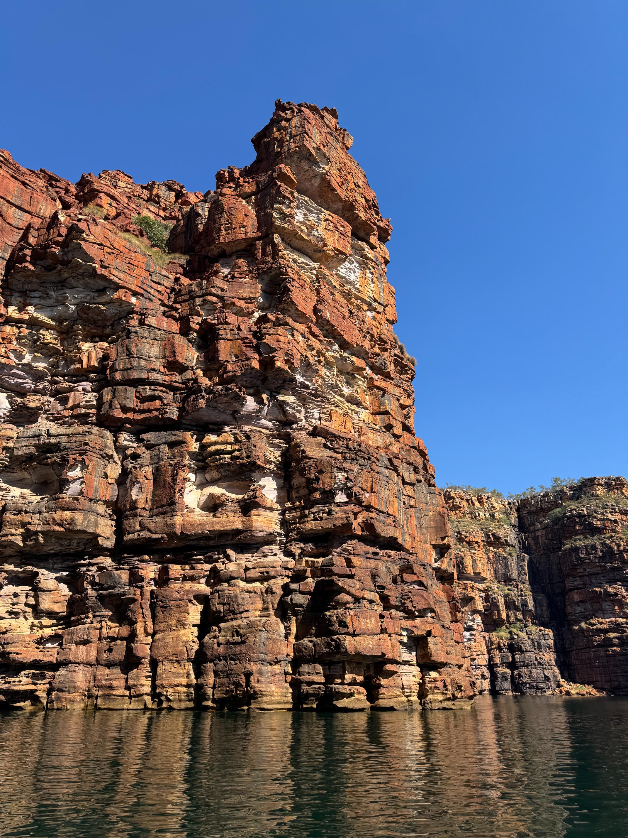
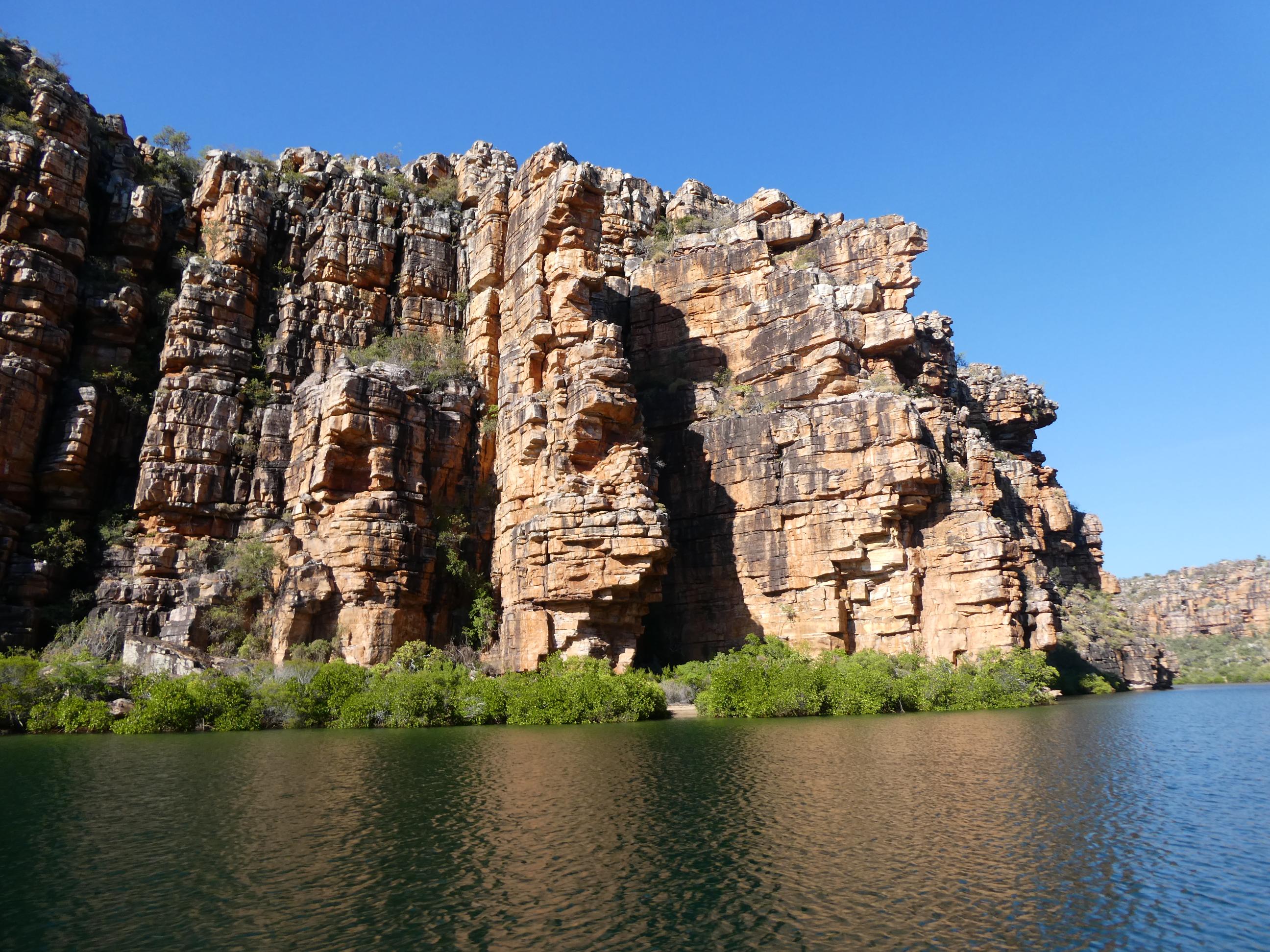
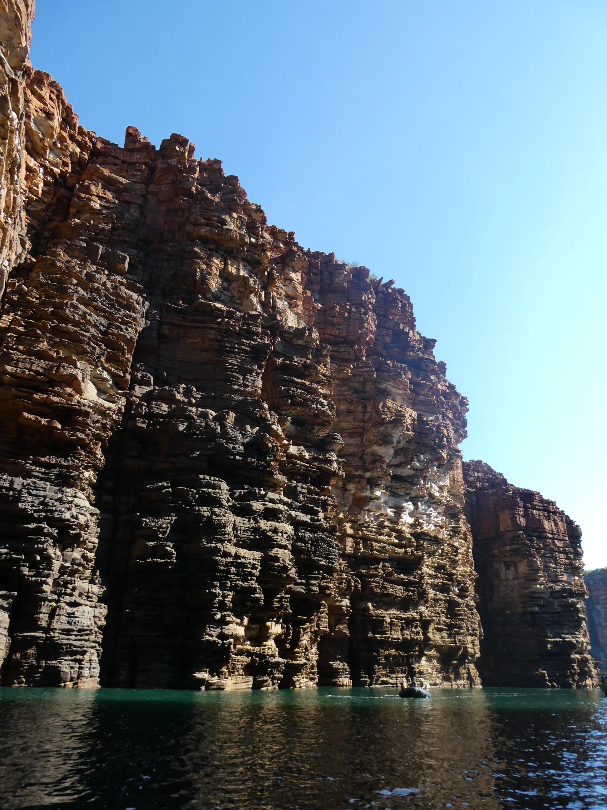
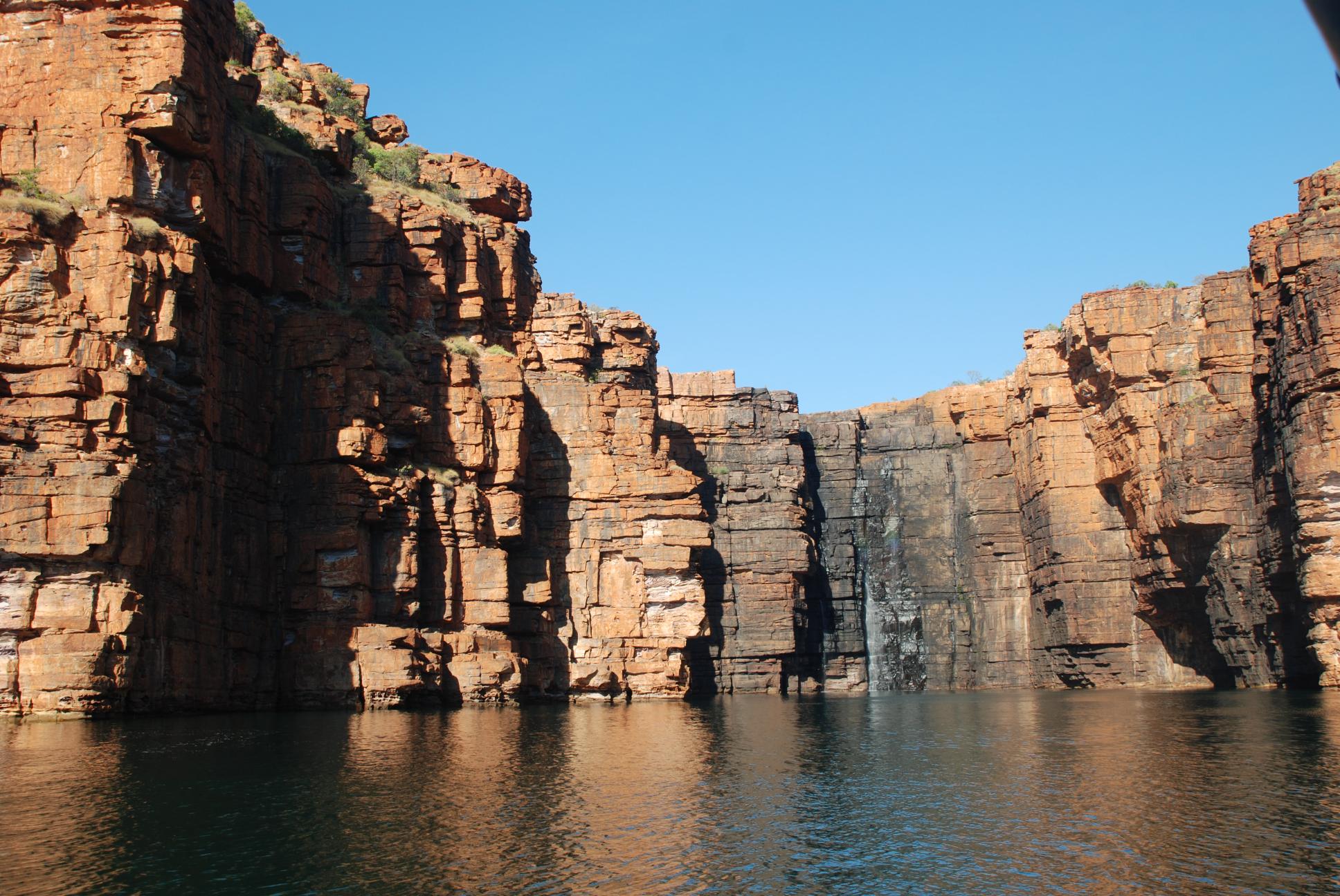
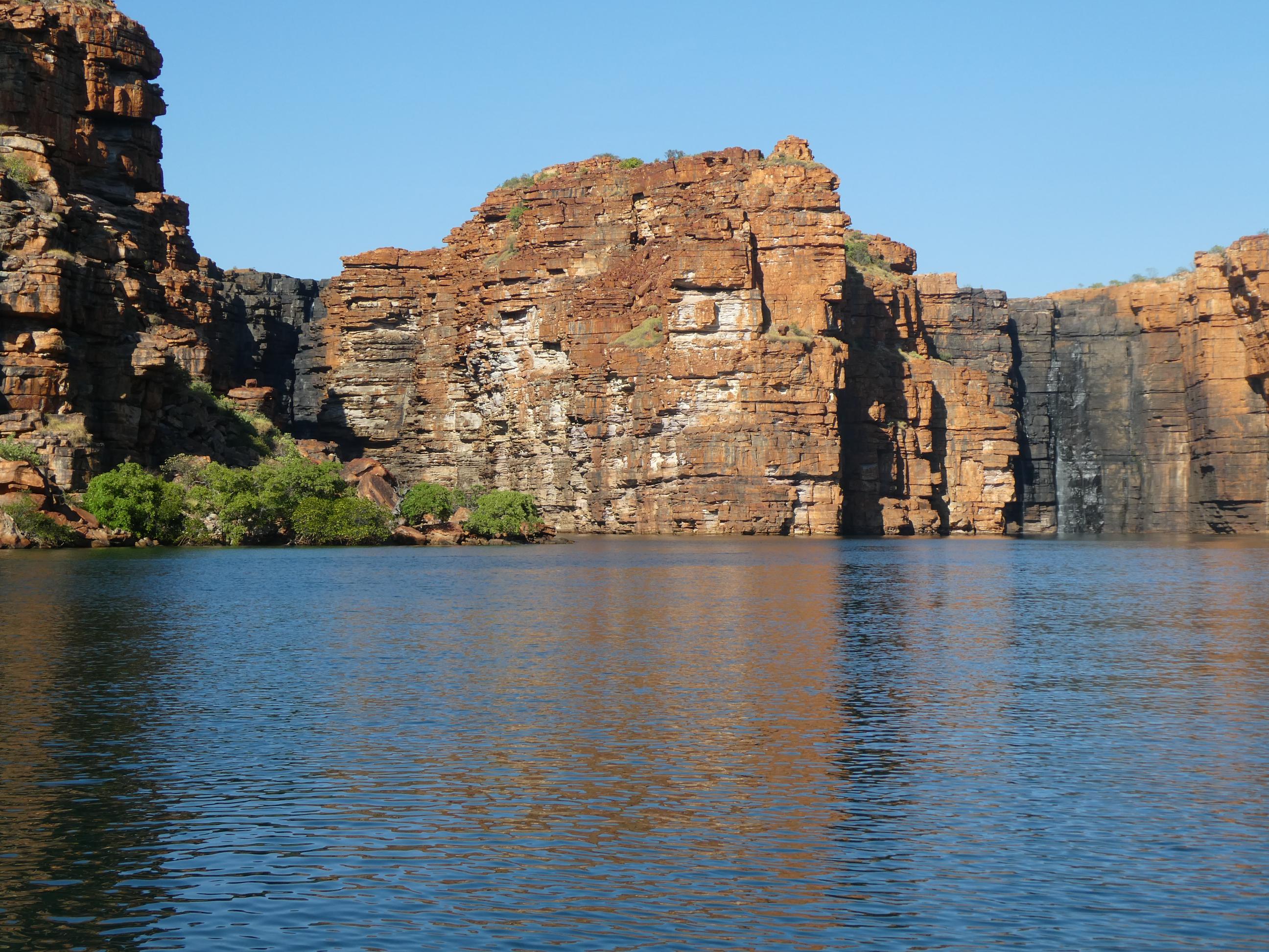
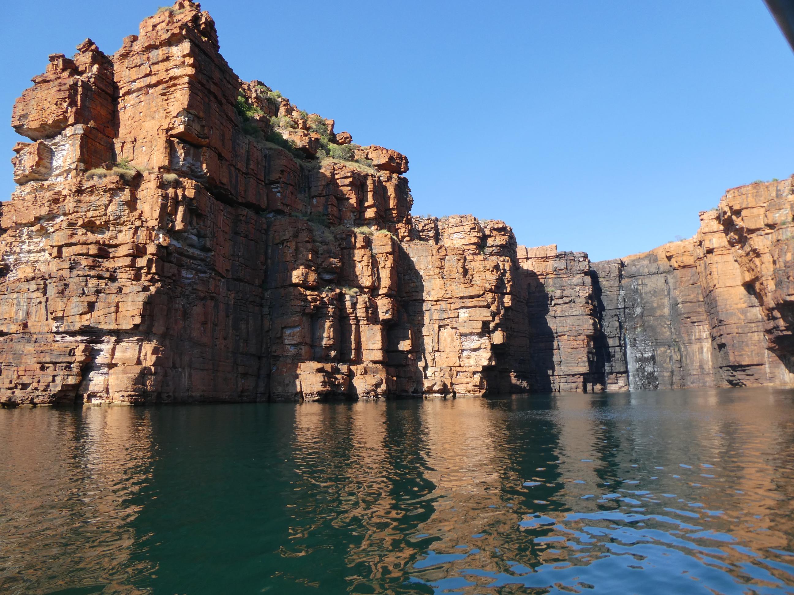
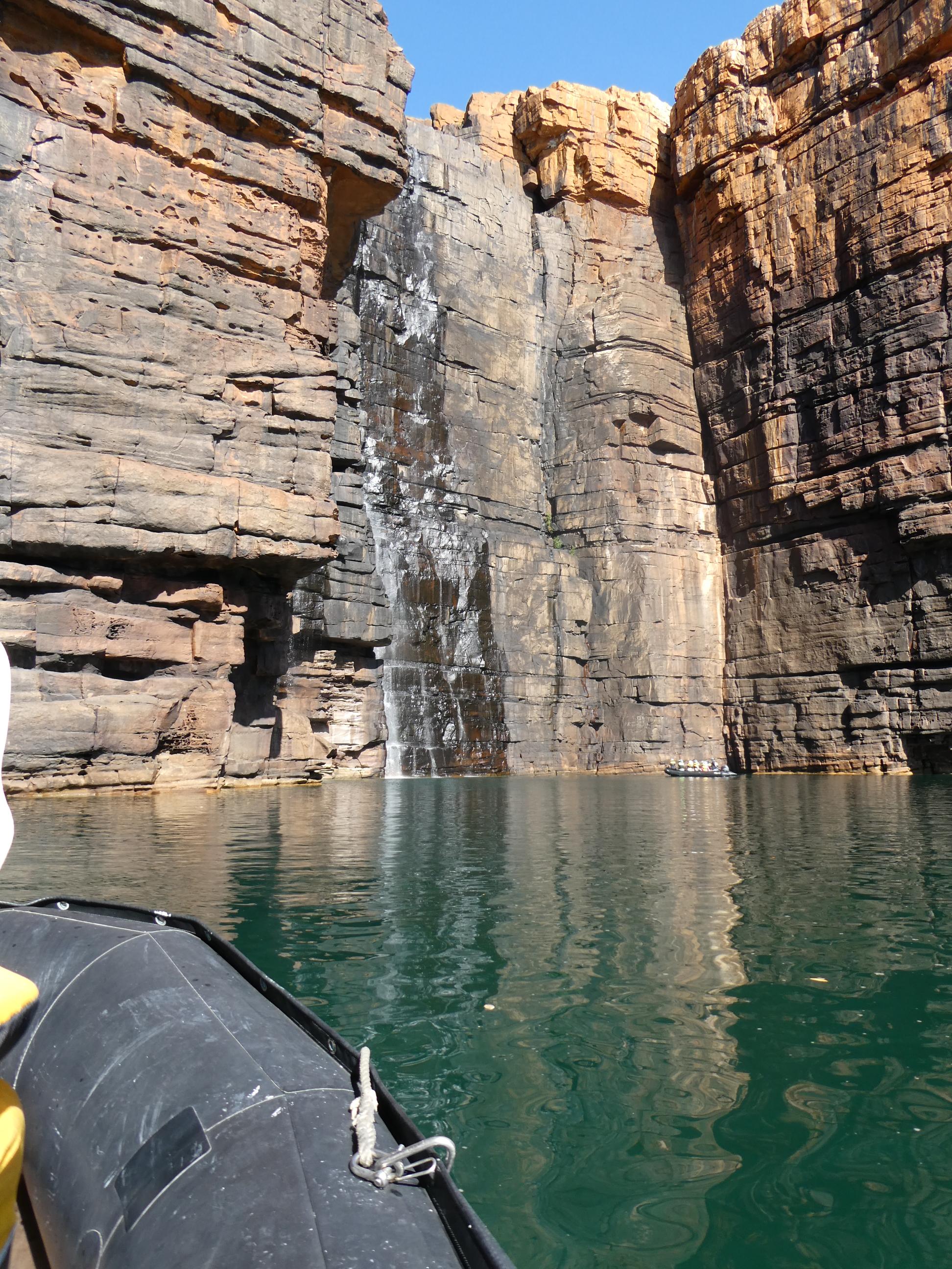
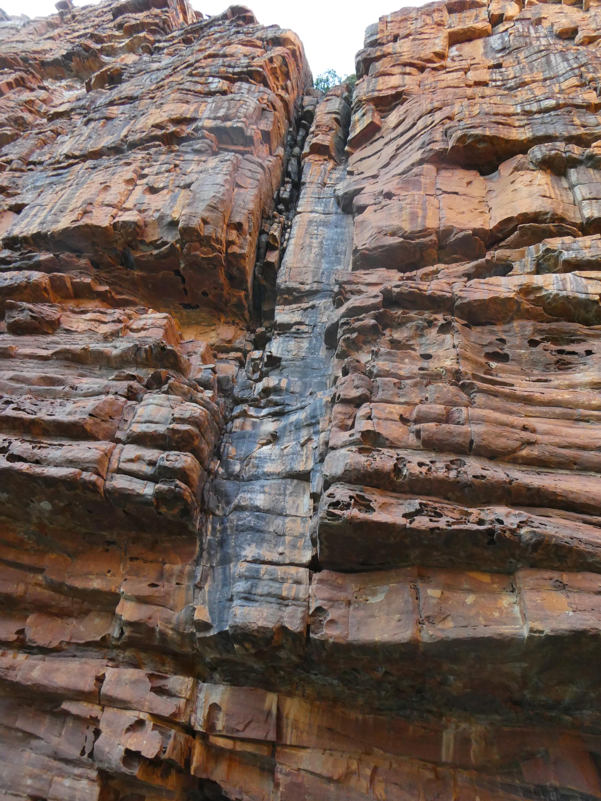
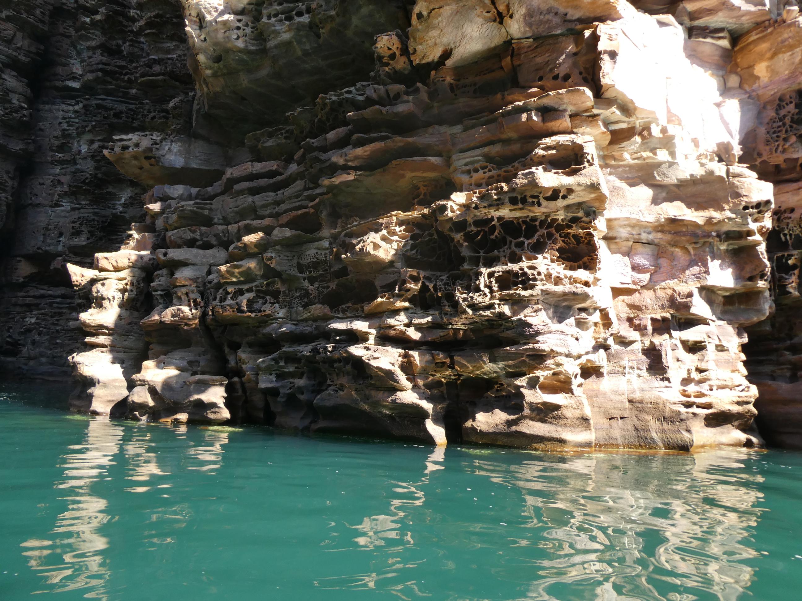
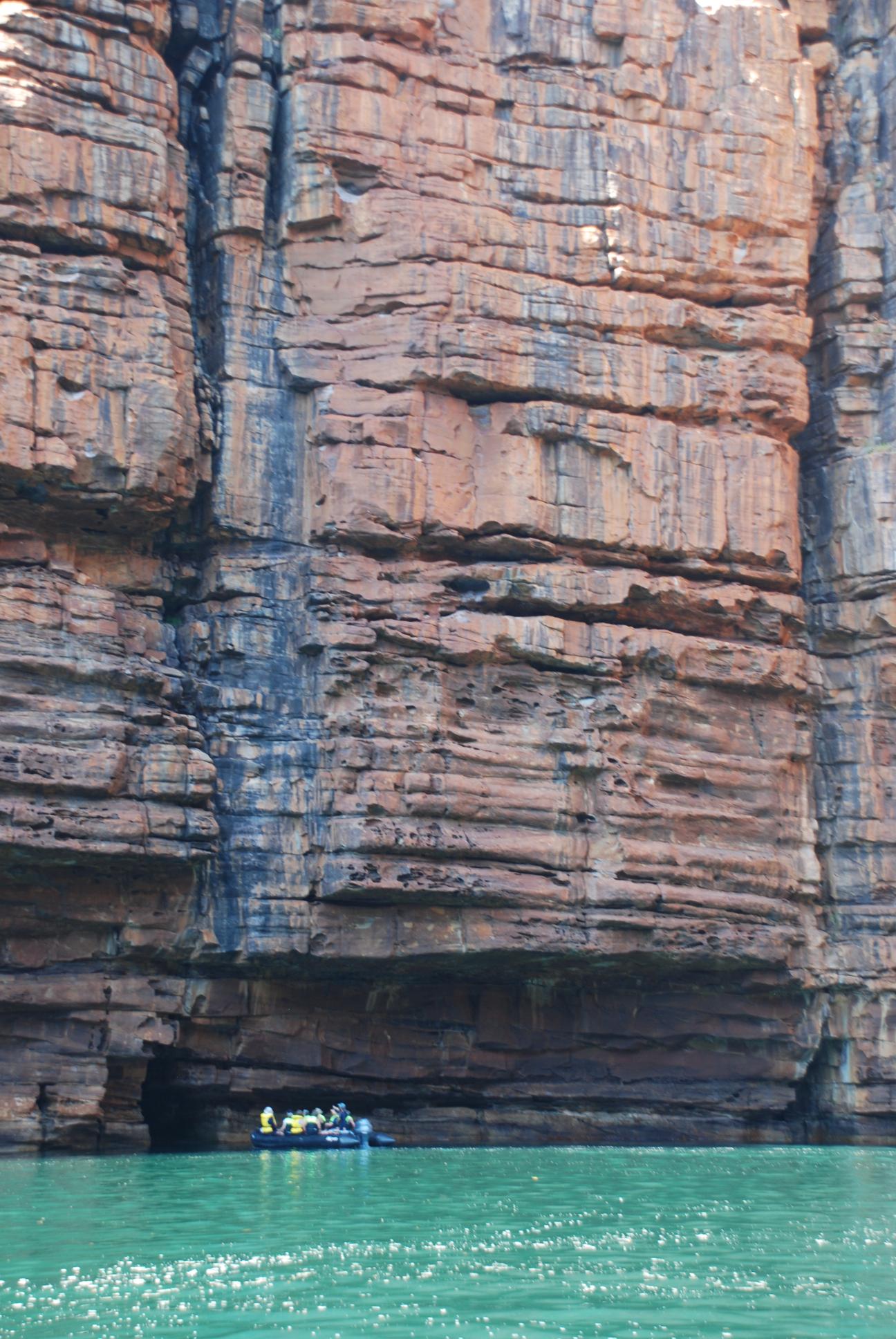
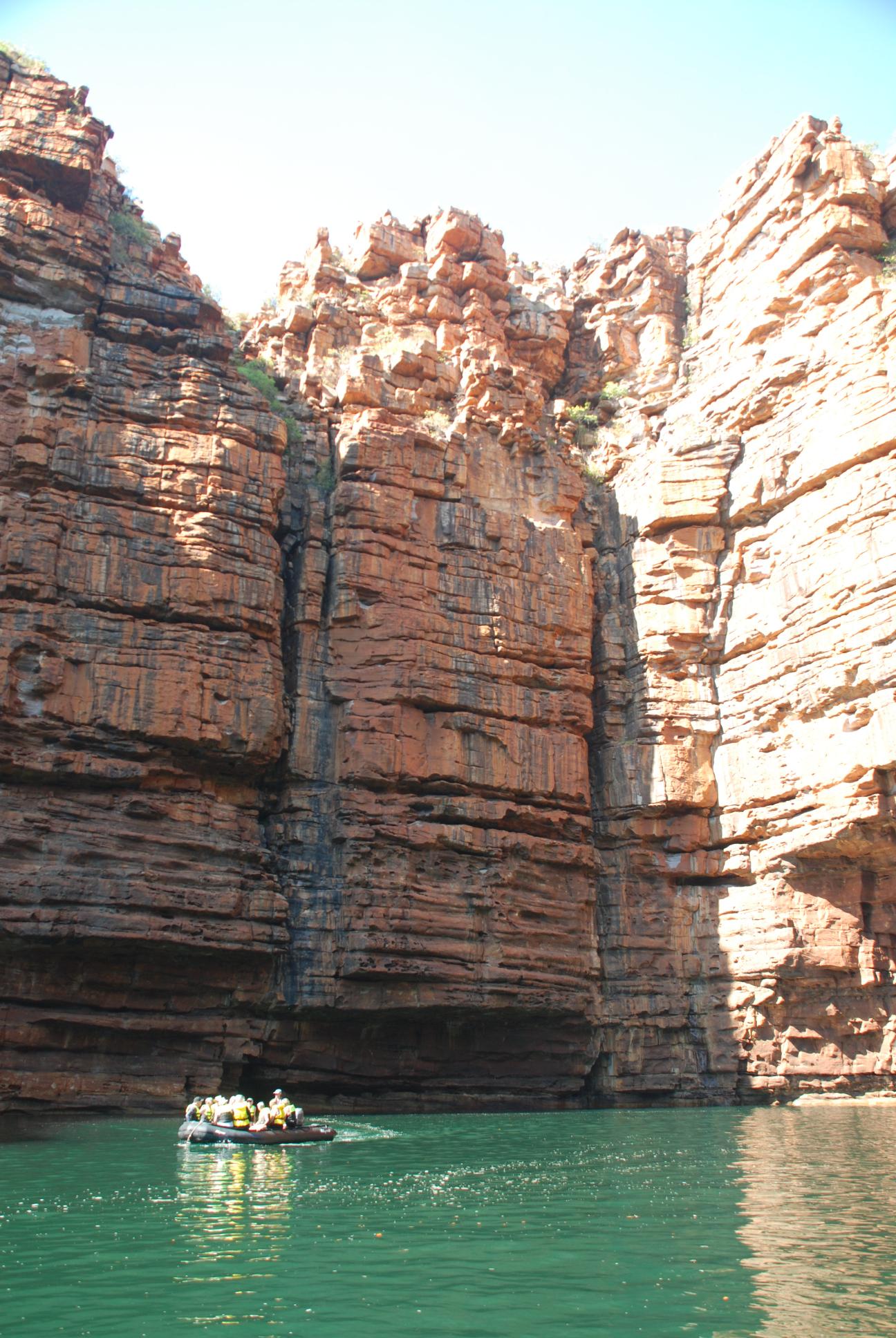
From the place where the river empties into Koolama Bay, the Xplorer carried us twelve winding kilometres through a winding gorge surrounded on both sides by mighty vertical sandstone cliffs. Our resident geologist, Garry, had explained how the Kimberley region was once a diamond shaped moving land mass that had collided with the Australian land mass billions of years ago, and had continued pressing further inland, sometimes subducting beneath the continent and at other times moving up over it. Mountain ranges were created and eroded. By the time the massive collision virtually came to a halt (there is still some movement), the unique landscape of the Kimberley had been formed. It is about 95% sandstone, though layered with levels of sandstone of differing grades of hardness. Some of the softer sandstone levels have eroded away during ice ages and also because of the huge amount of rainfall this land gets in the wet season. Other parts resist the erosion. There is a huge amount of iron oxide in the sandstone, giving it its customary reddish hue. The amazing rock formations we passed through on our journey down the King George River, which are quite breathtaking to behold, are basically the end result of the dramatic story of the creation of the Kimberley landscape.
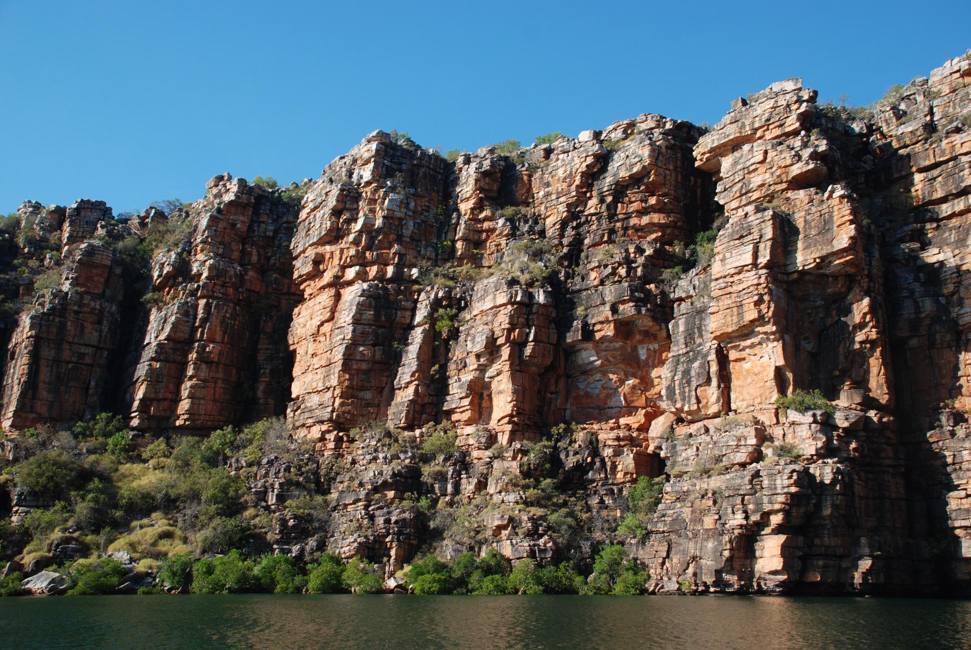
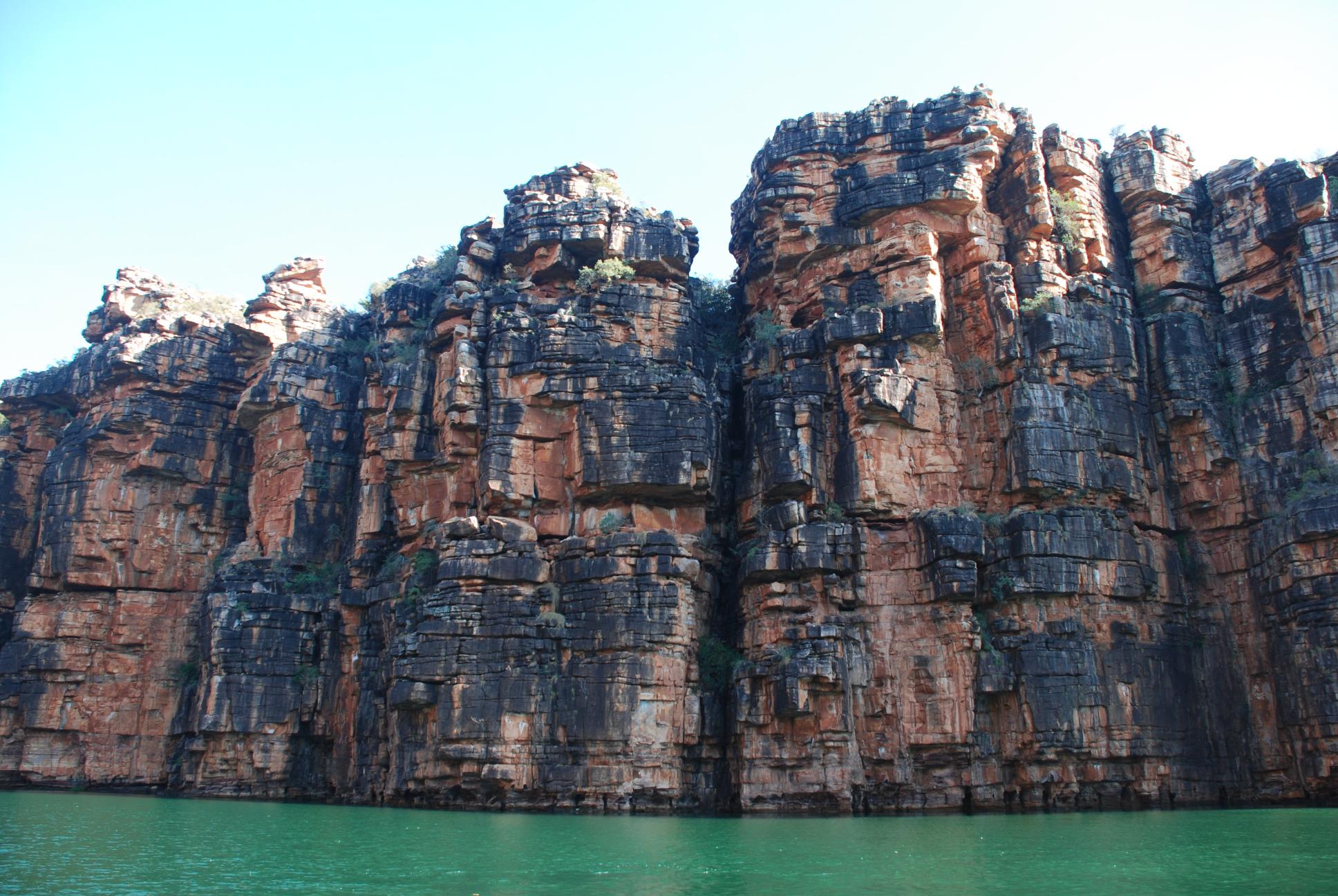
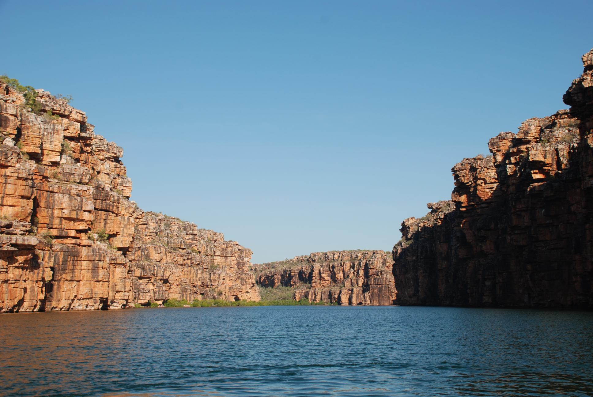
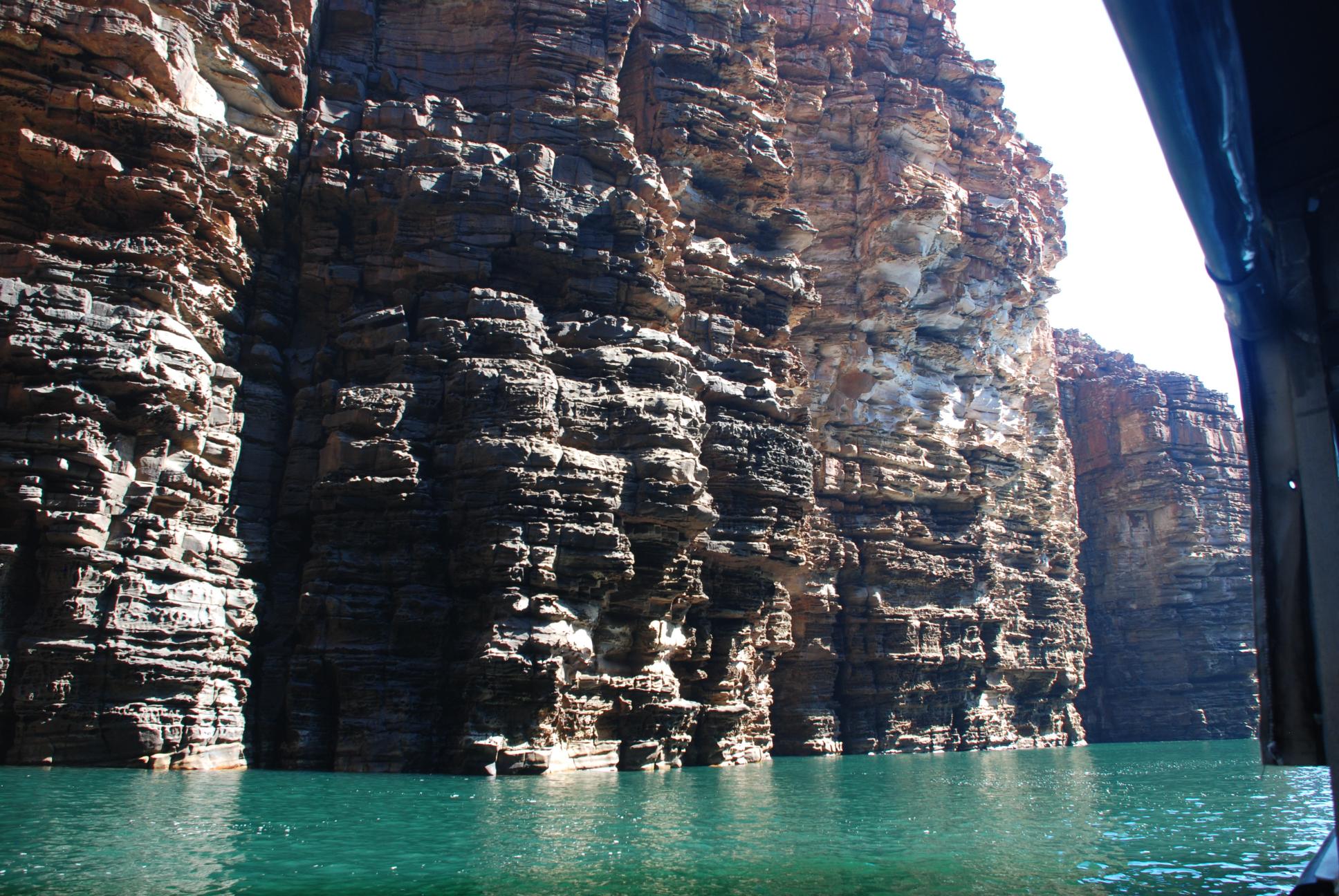
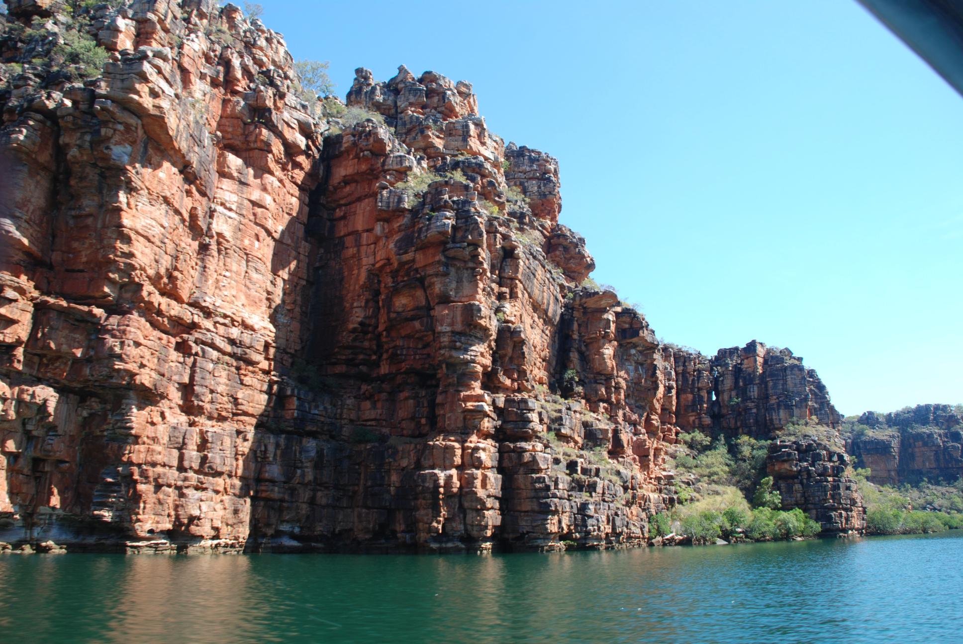
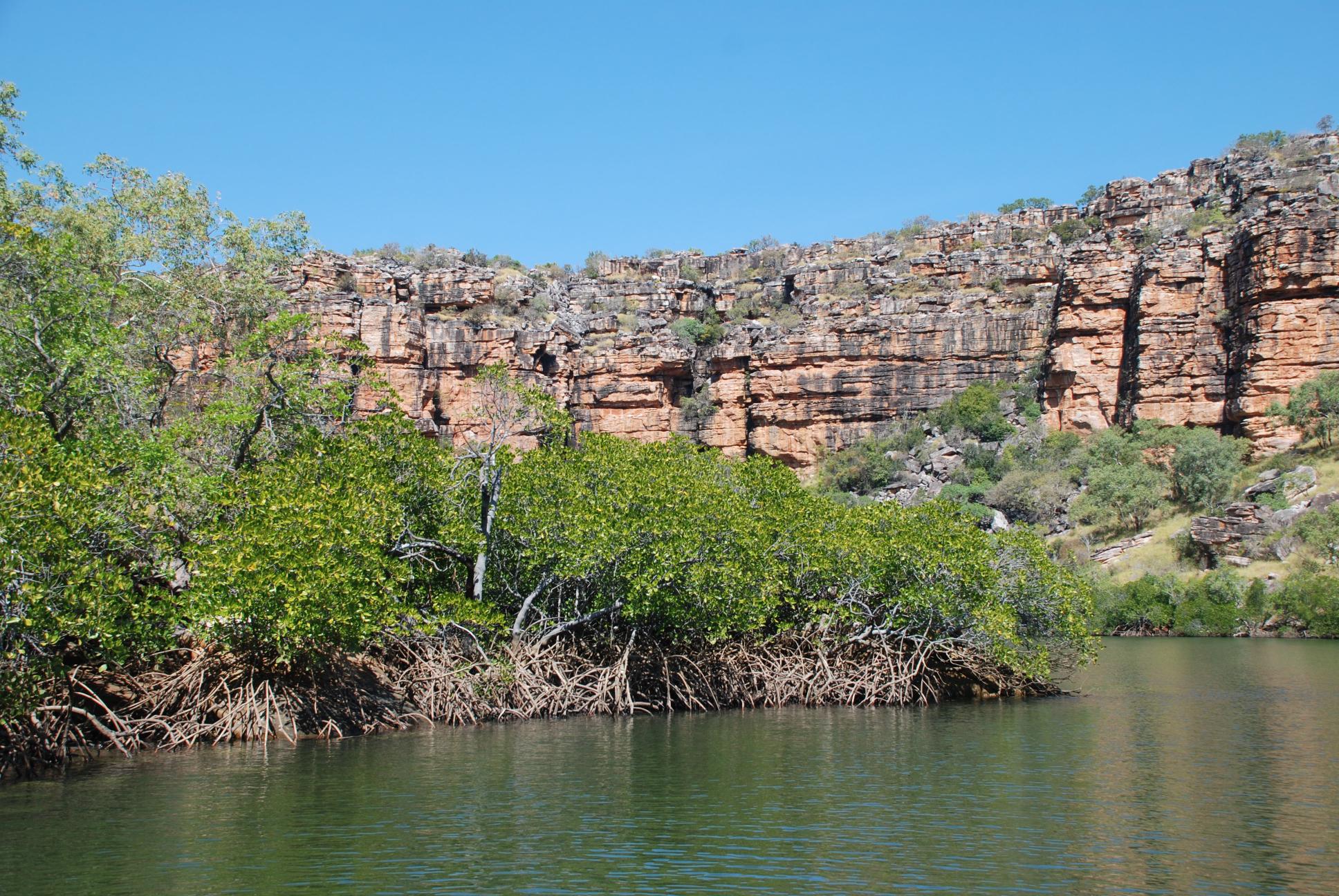
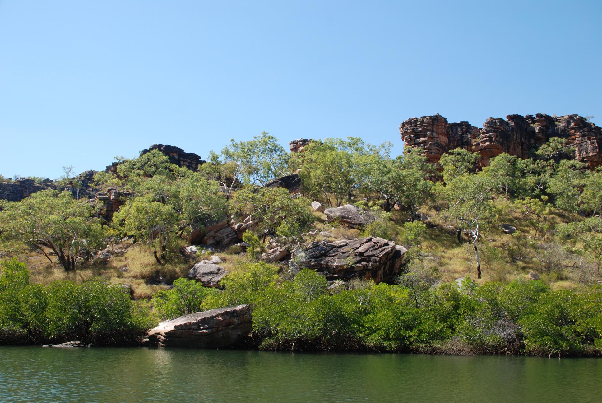
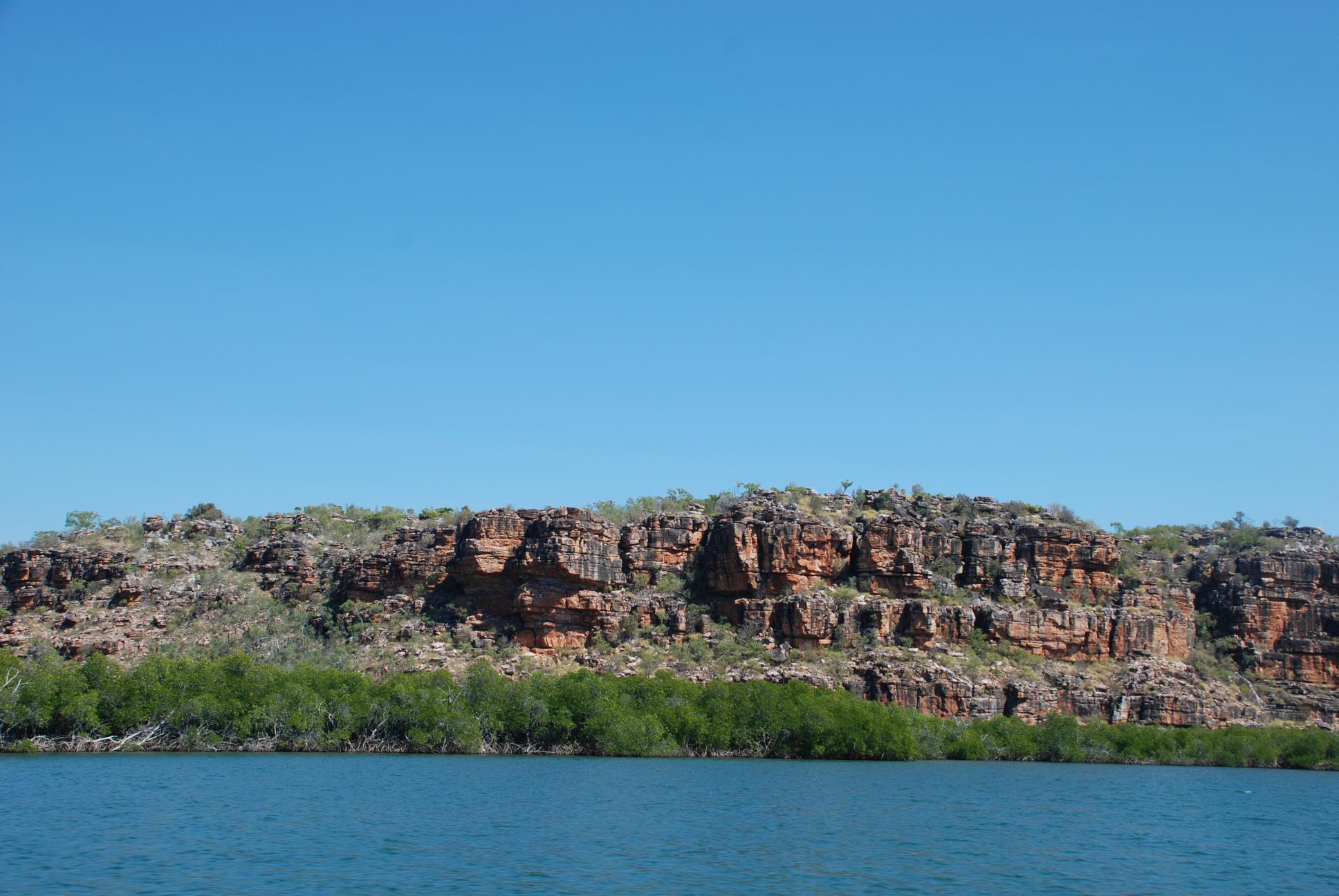
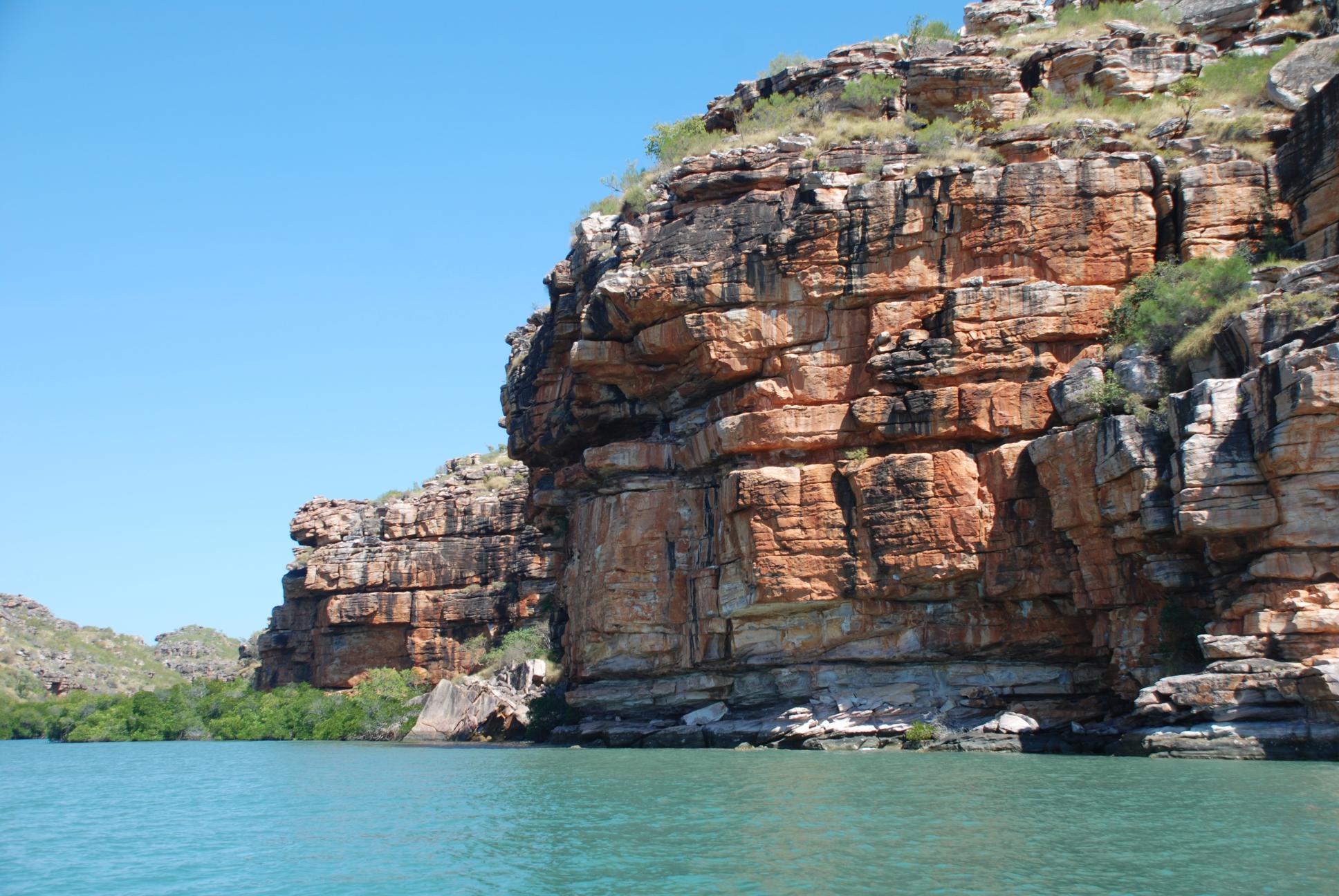
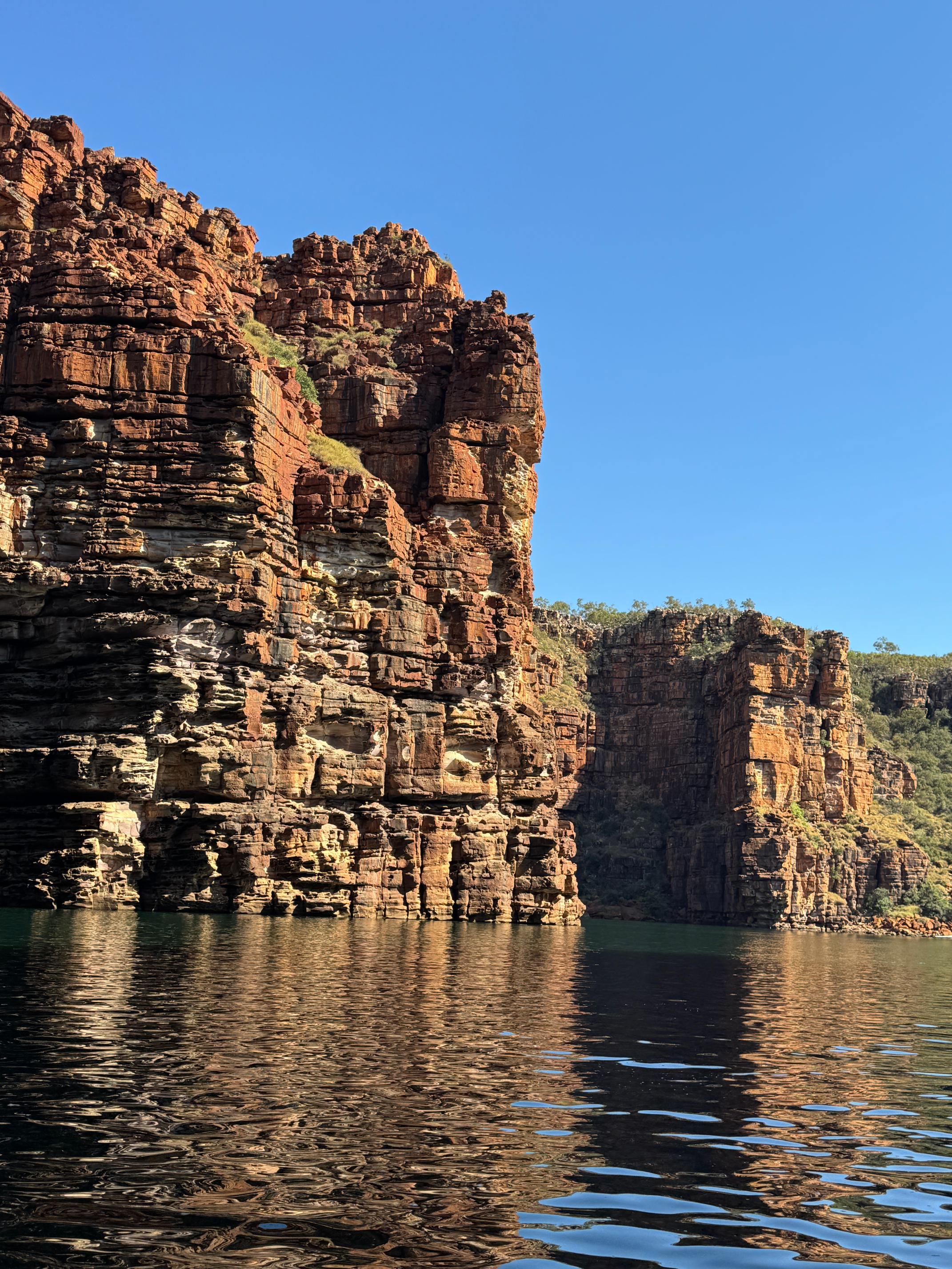
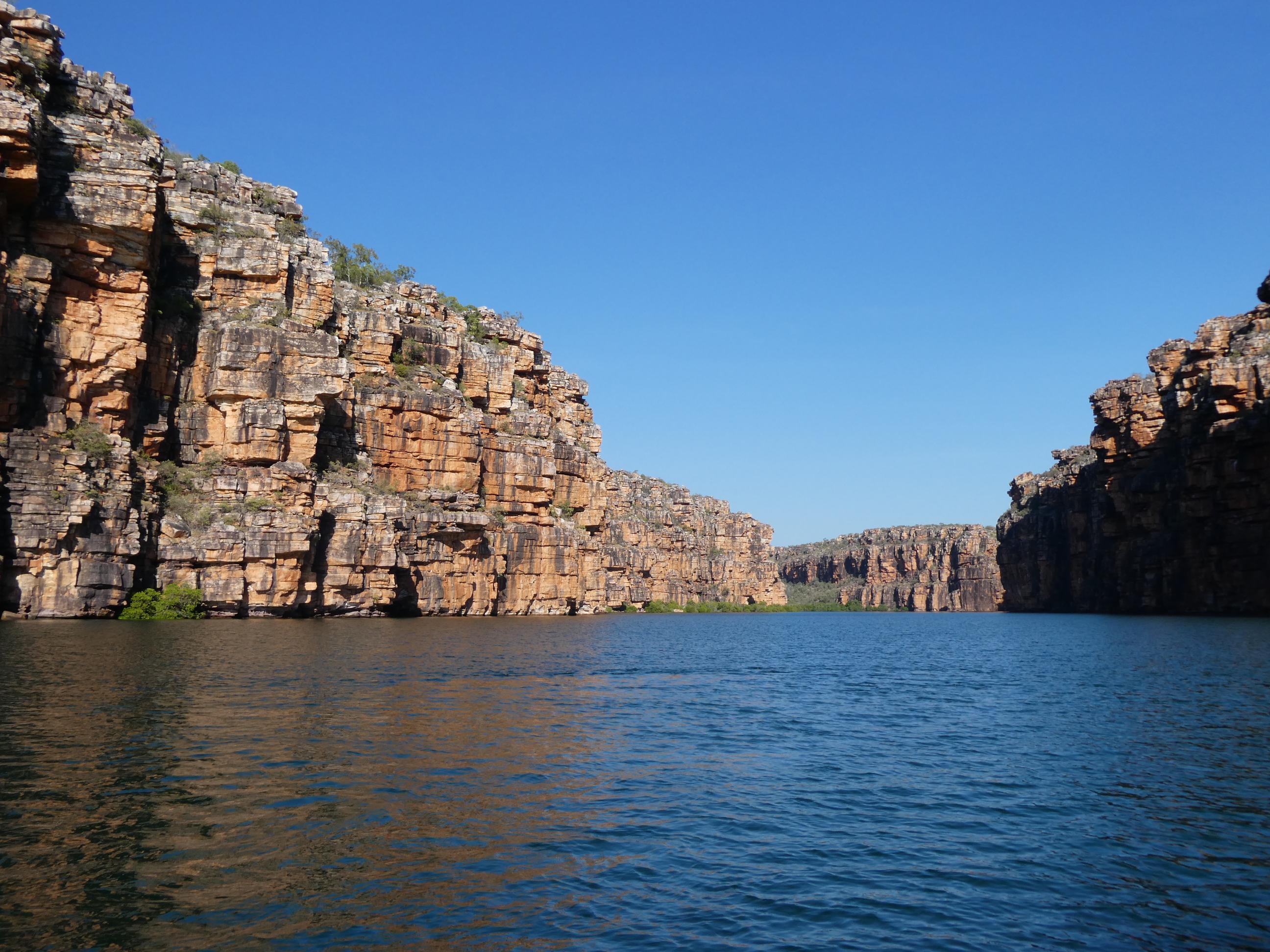
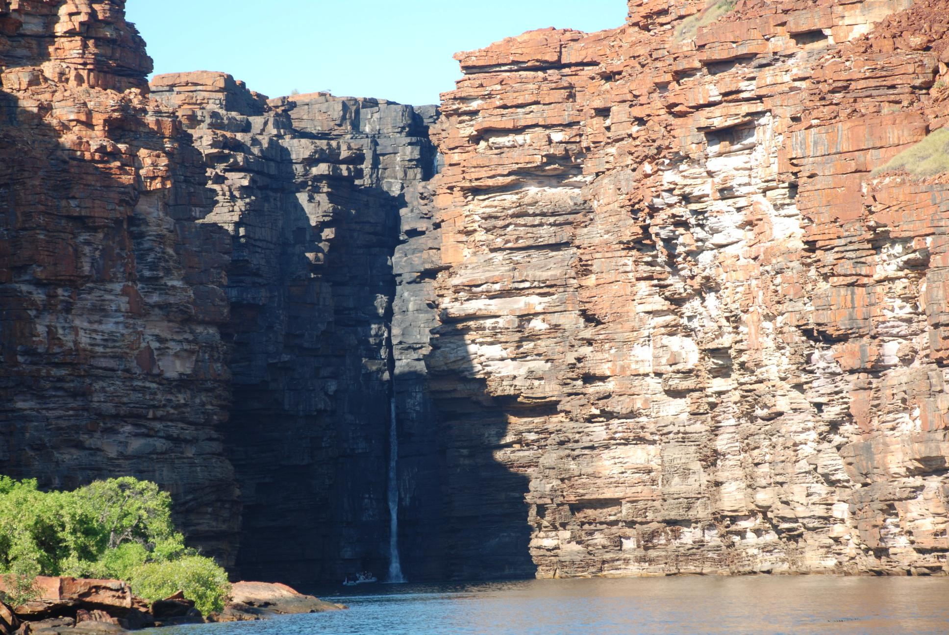
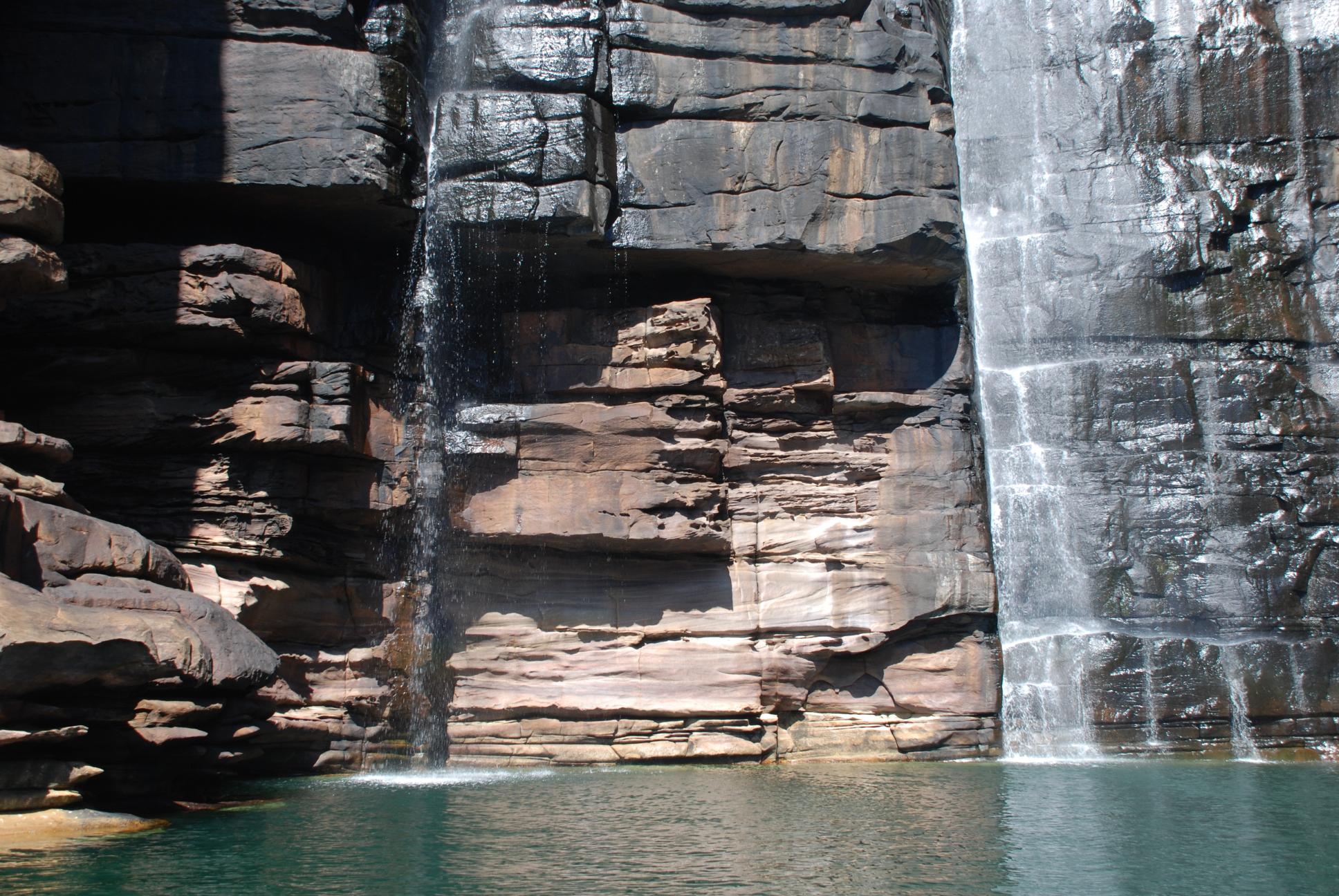
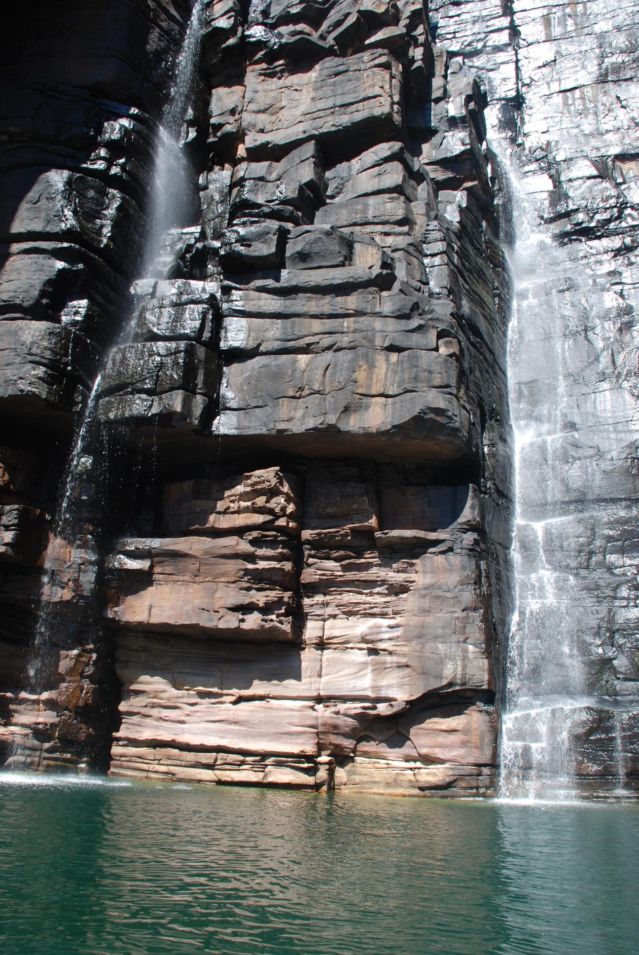
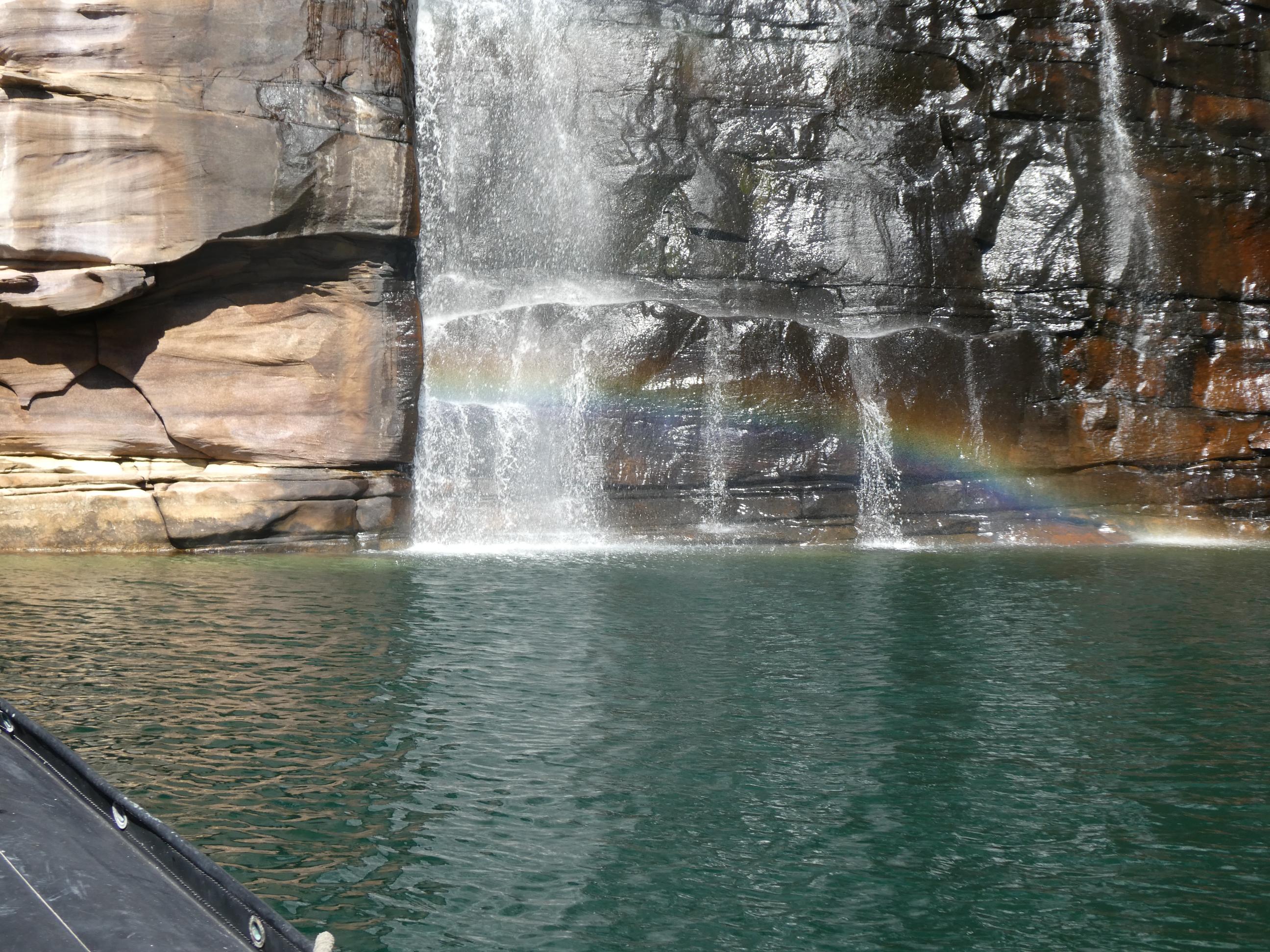
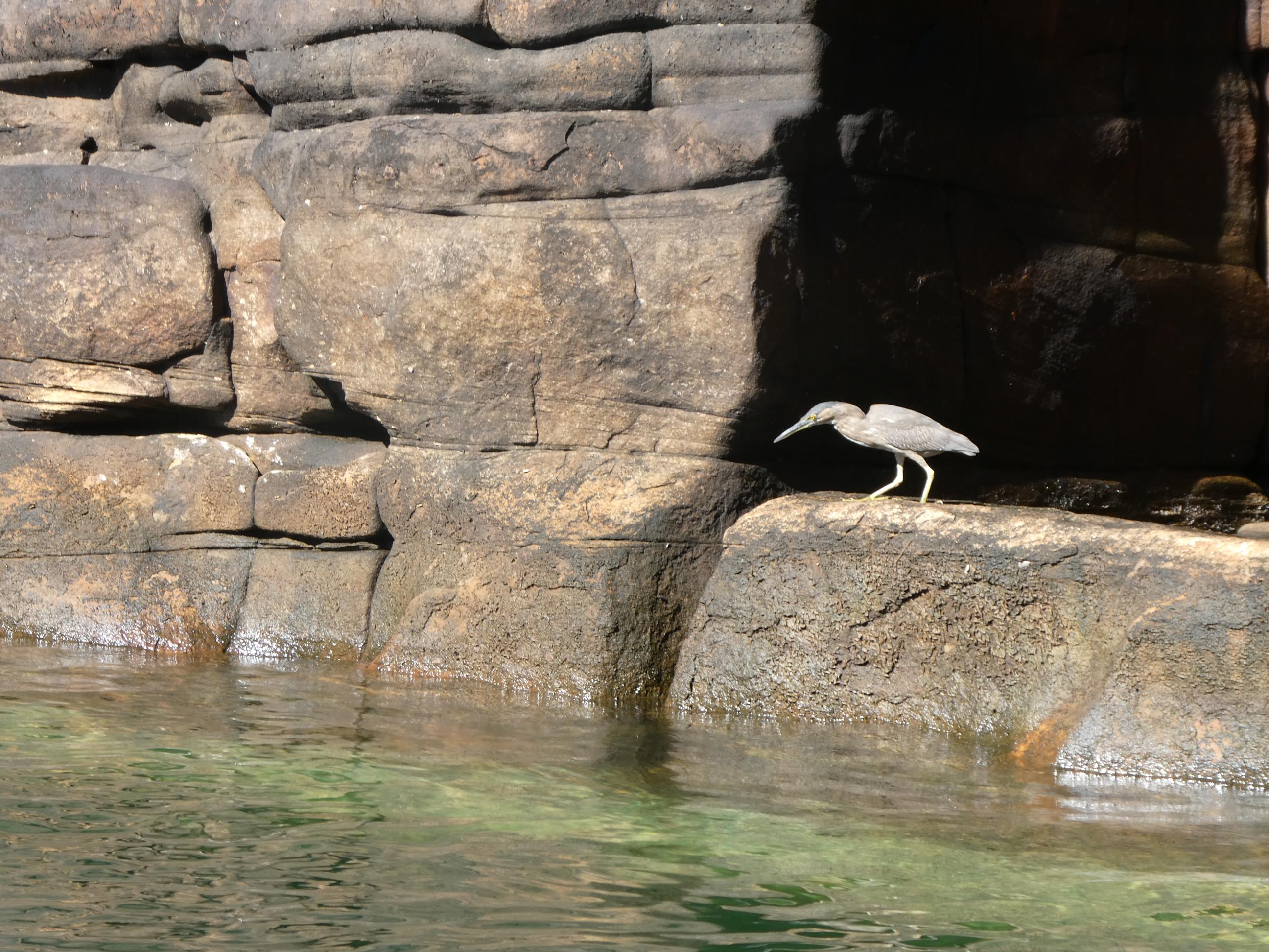
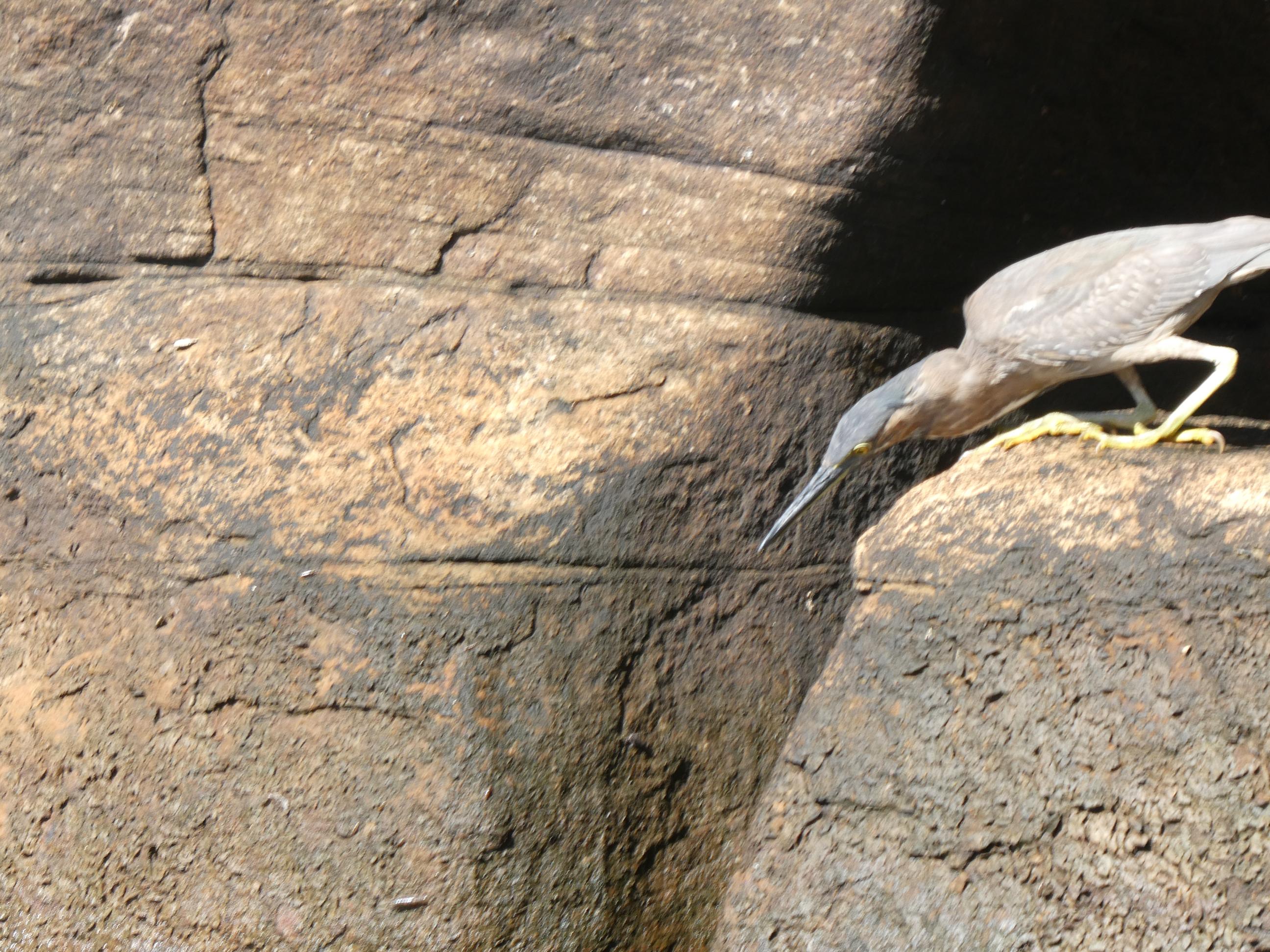
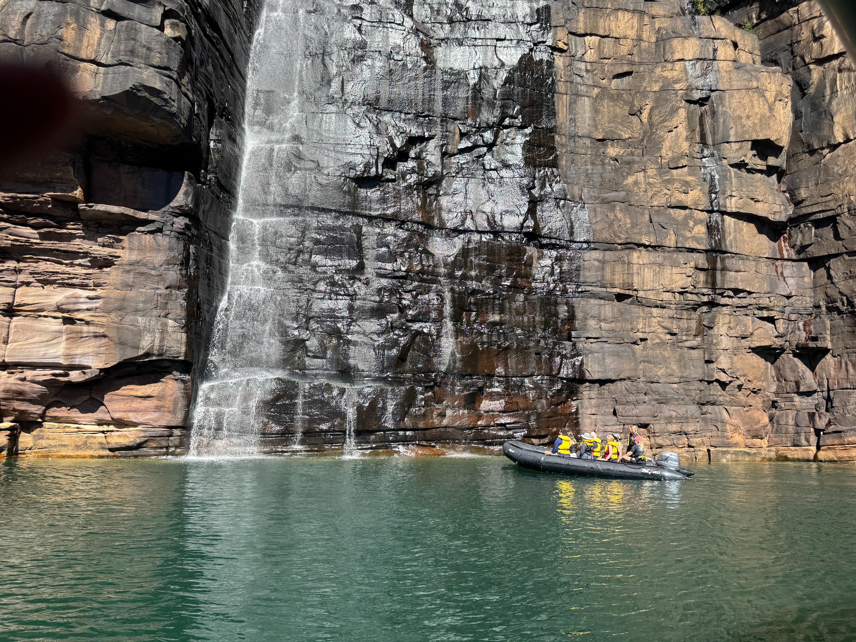
Eventually we reached the twin falls at the end of the gorge. There was not a great deal of water flowing over them today, but we later saw photos of a thunderous deluge pouring over them during the wet season. There were a small number of other boats in the vicinity, although we really didn’t see many other people. Our tender brought us in close for a look. There were some small beaches nearby, but we did not have the necessary permission from the traditional owners to go ashore. I enjoyed watching the striated heron catching insects with its long beak at the base of the falls.
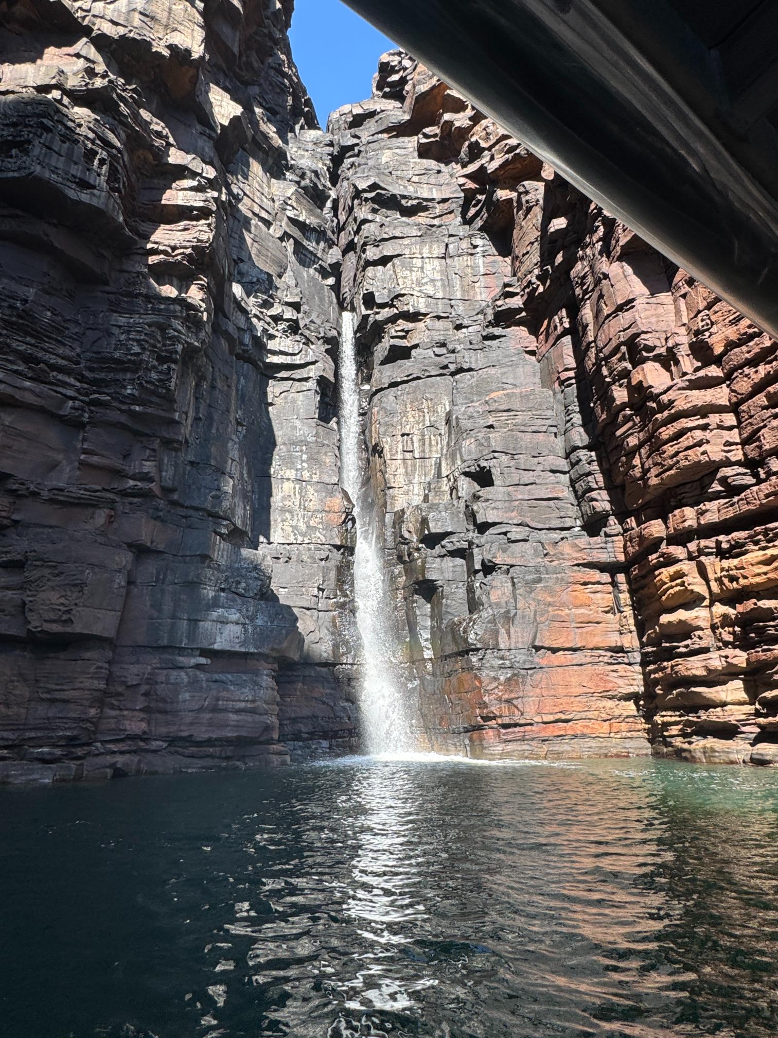
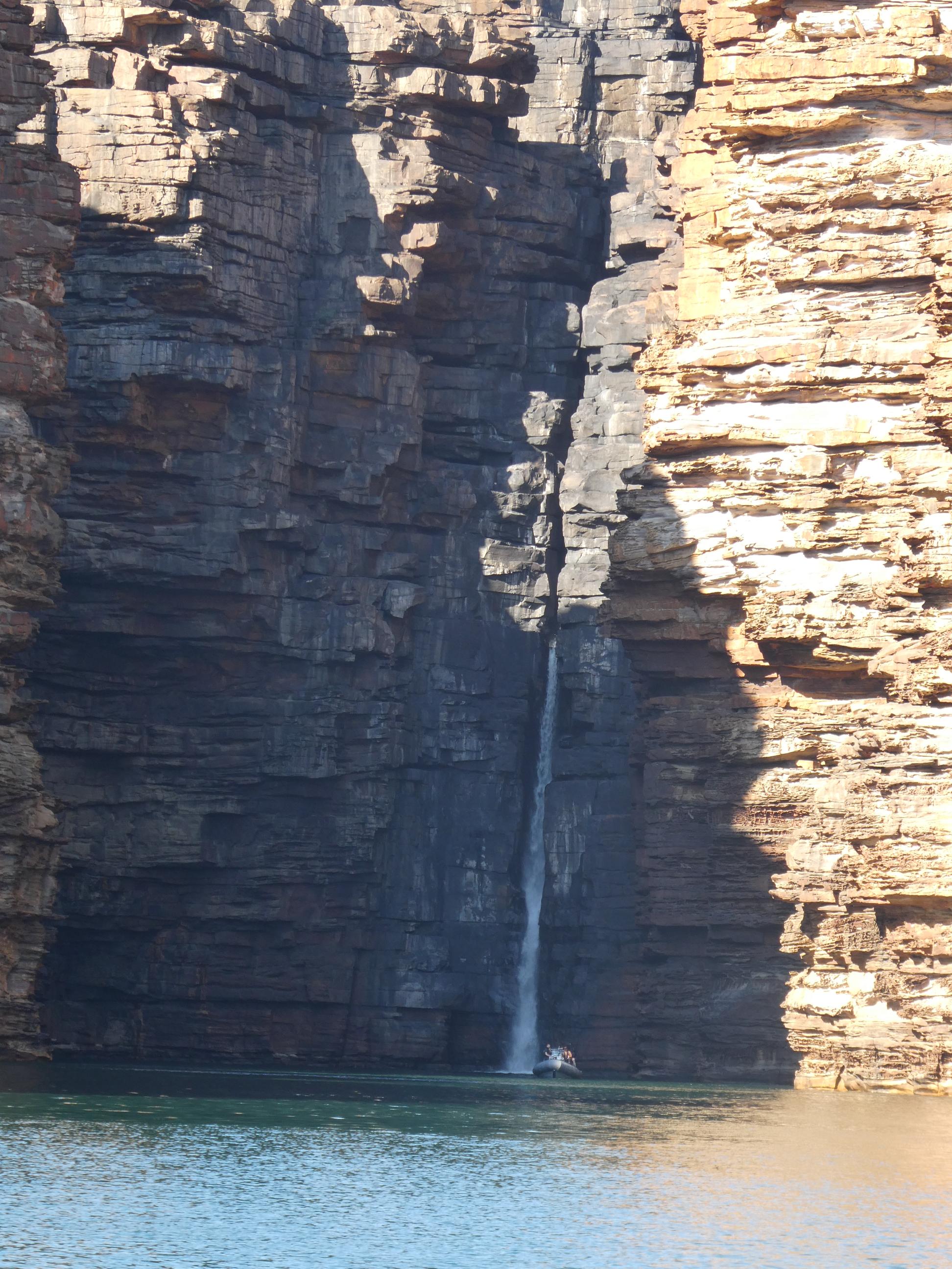
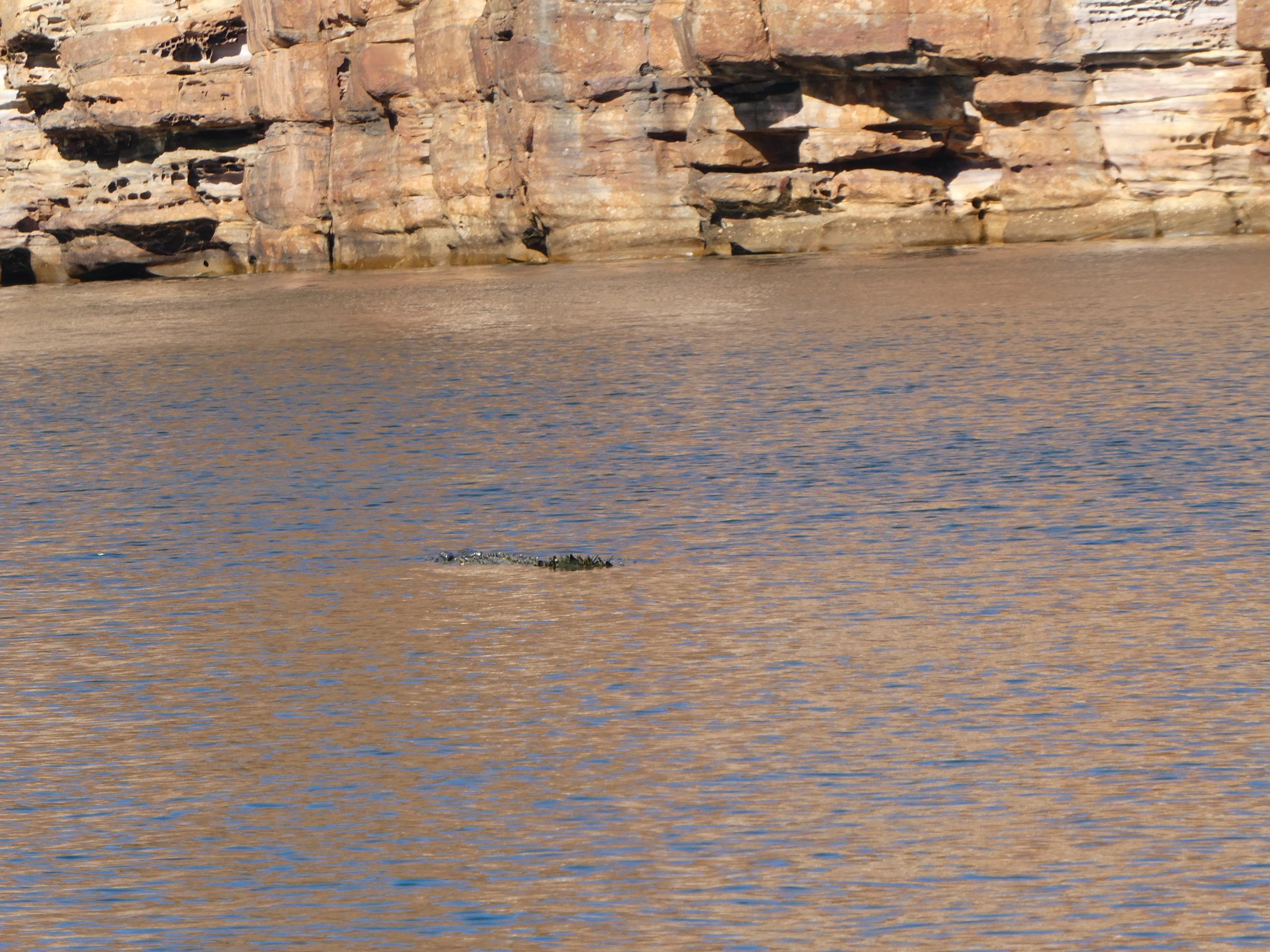
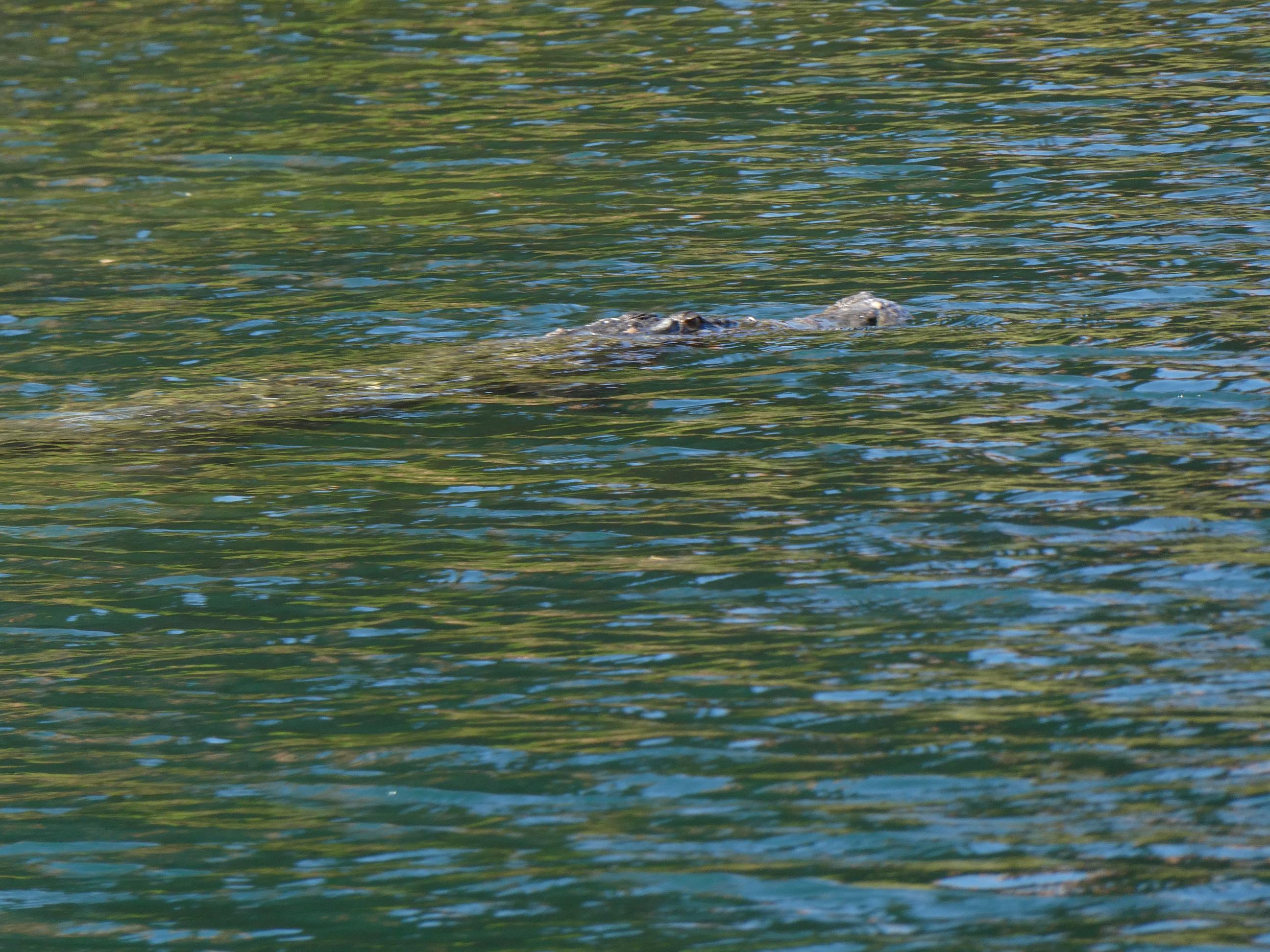
Almost as soon as we arrived, a crocodile was sighted floating just under the surface of the water between our boat and the falls. I was able to get a couple of shots before it disappeared beneath the surface. We didn’t see it again in all the time we were there. Needless to say, no one went swimming.
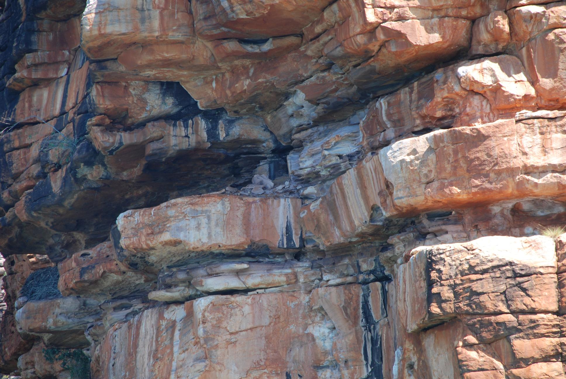
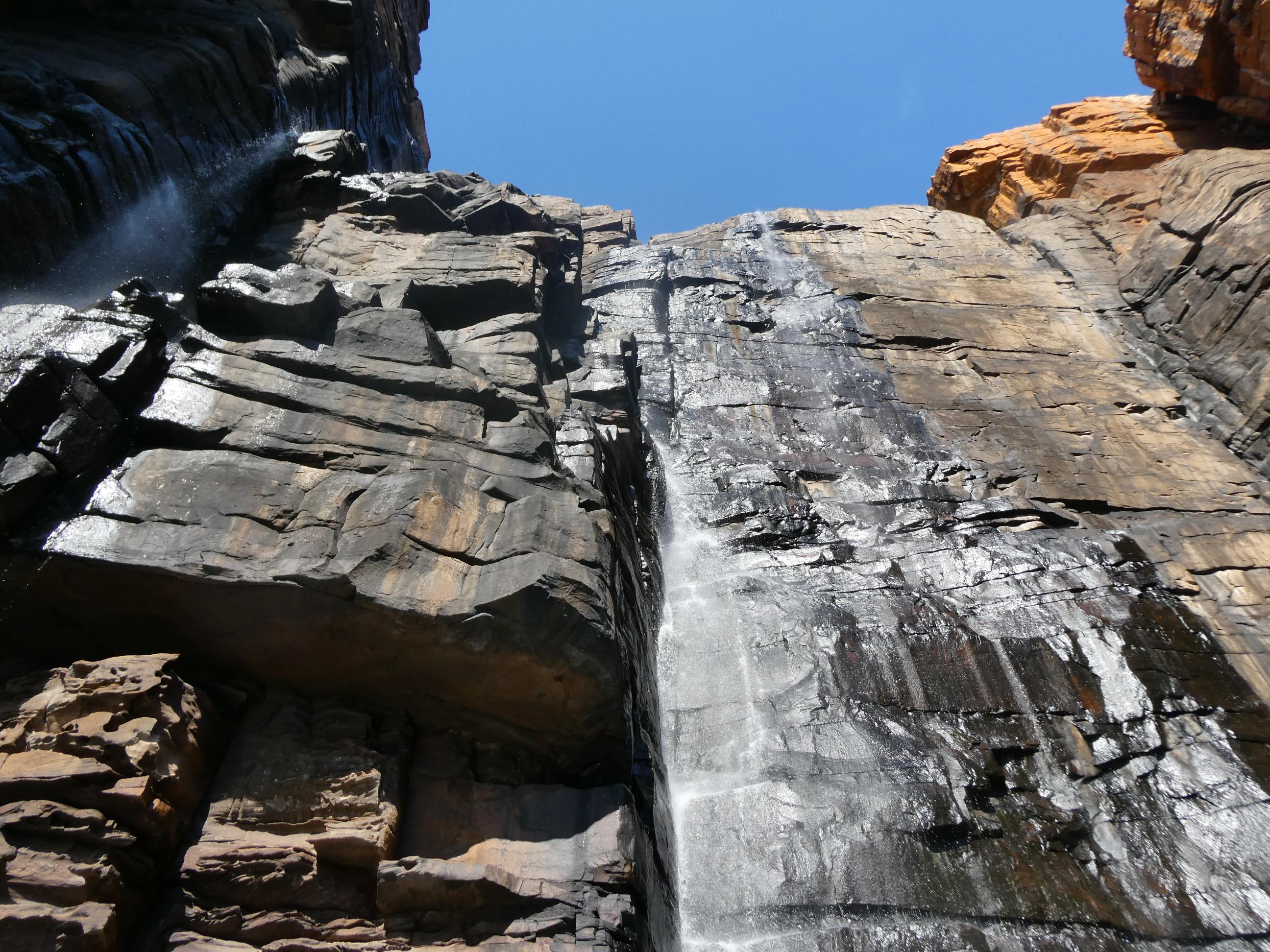
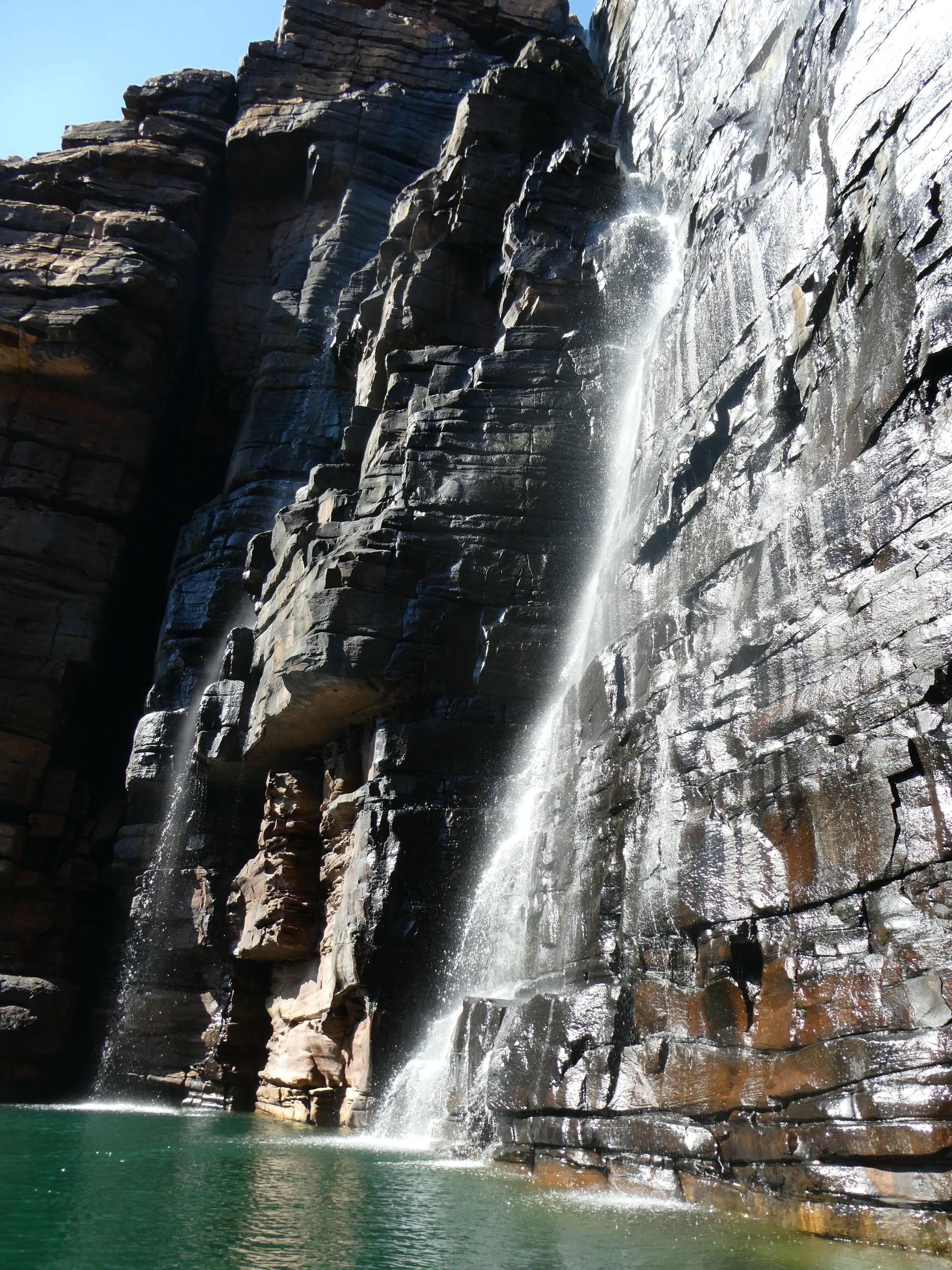
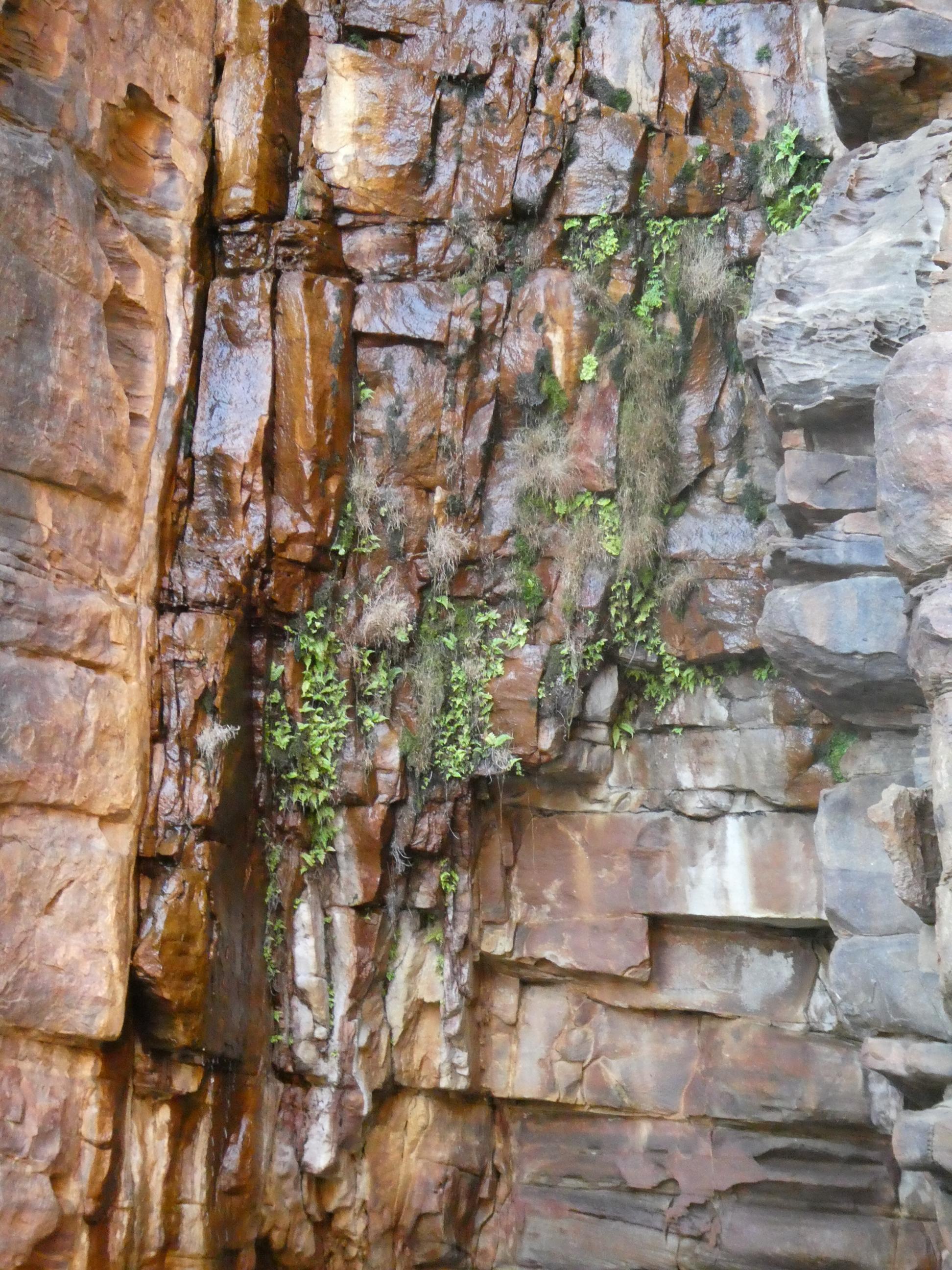
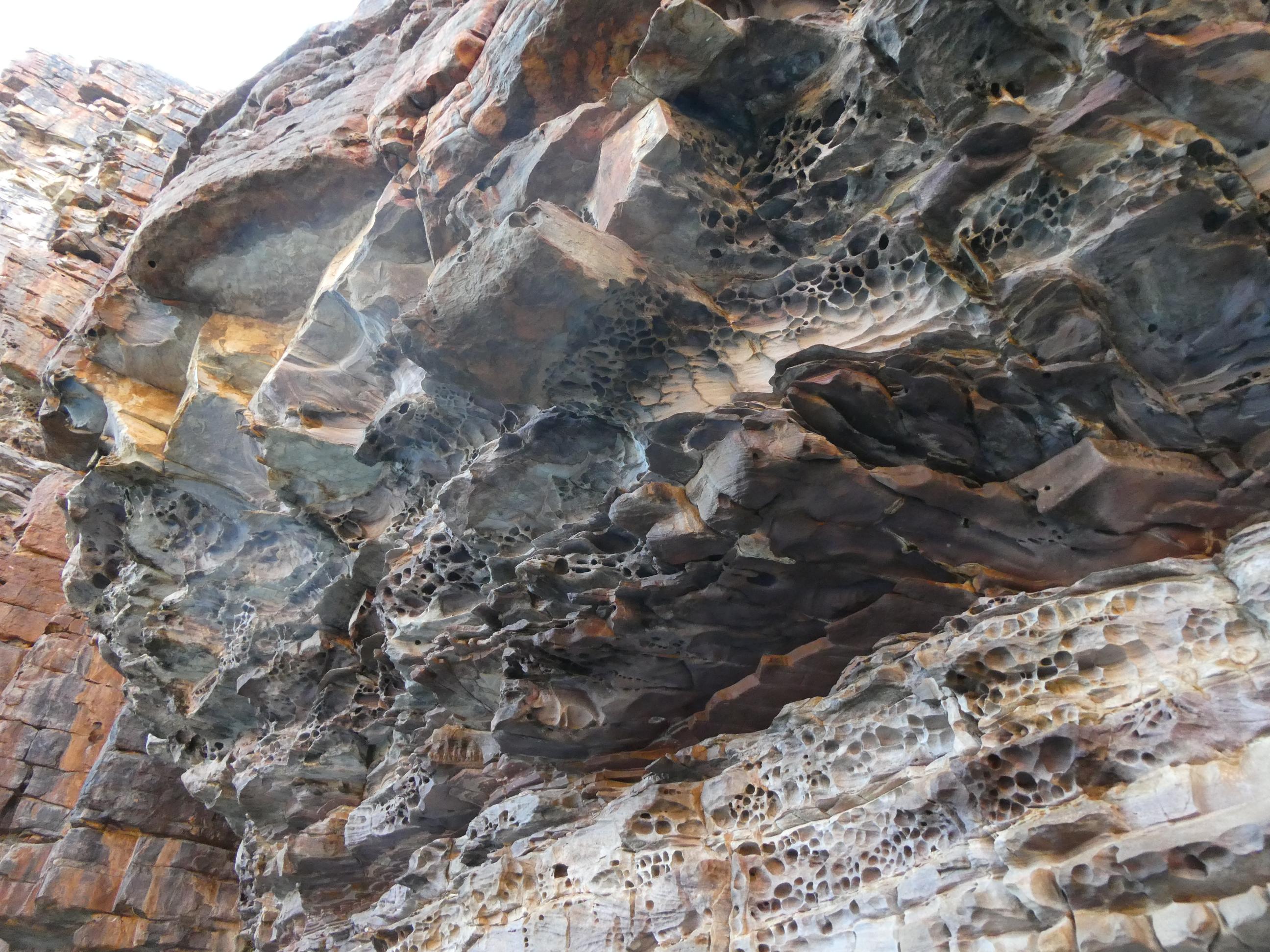
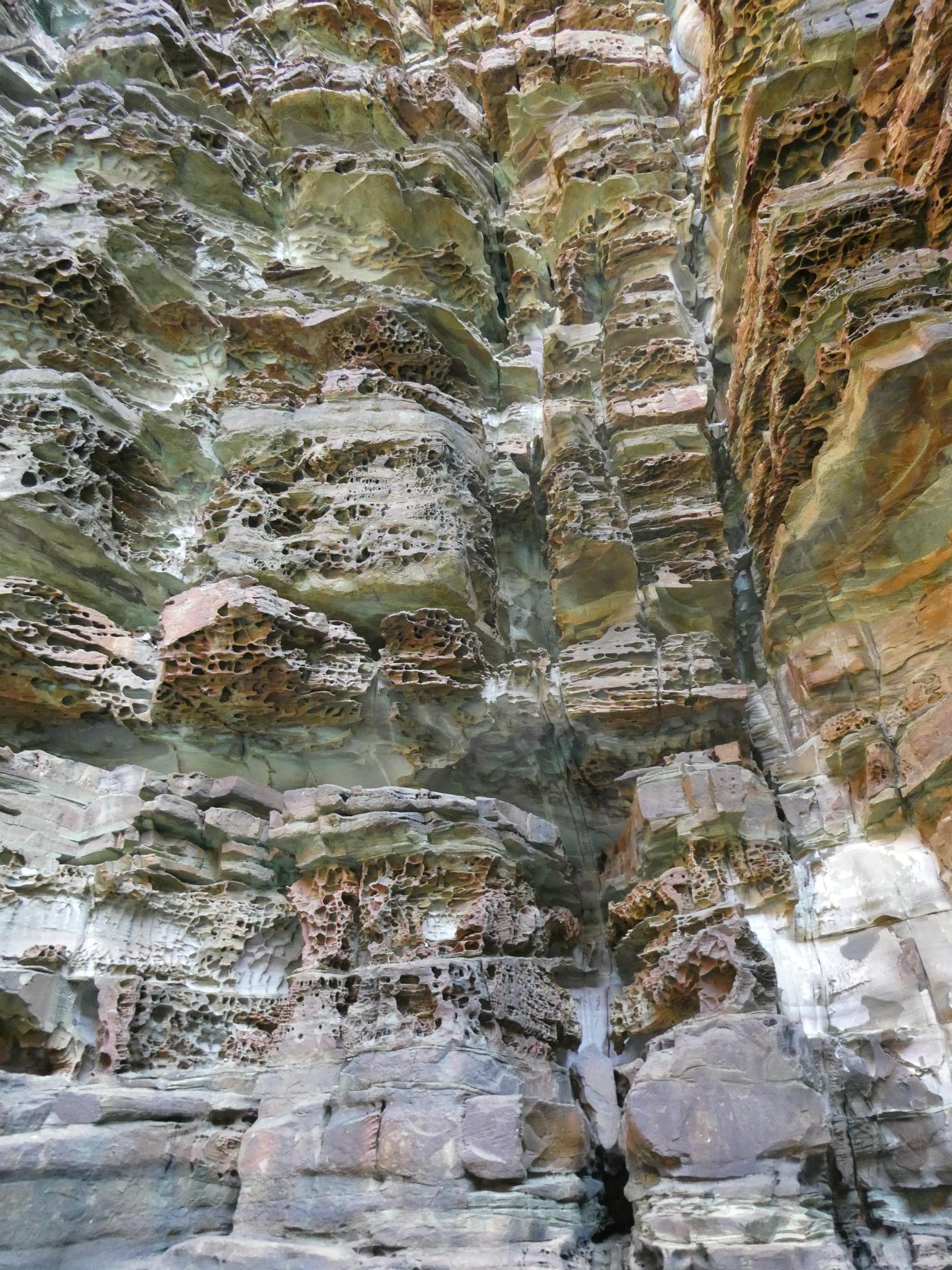
I mentioned before that there were different grades of hardness within the sandstone layers. Upon closer inspection, some wonderful abstract designs could be seen in many of the large rocks. They were created by the action of salt and water eroding softer stone and leaving harder stone virtually untouched. In other places, long vertical fissures divided huge stone cliffs. Some plants had taken root in one place, creating a garden that would never have an issue with water supply.
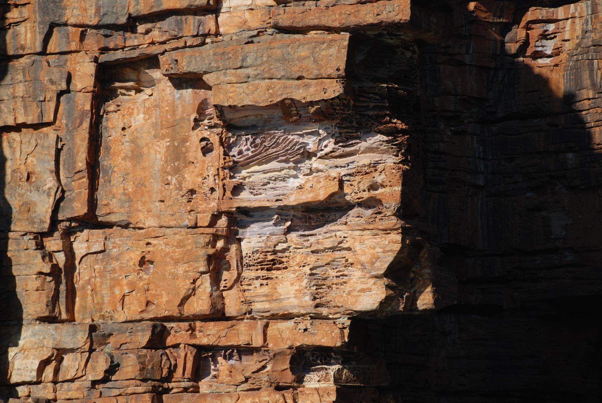
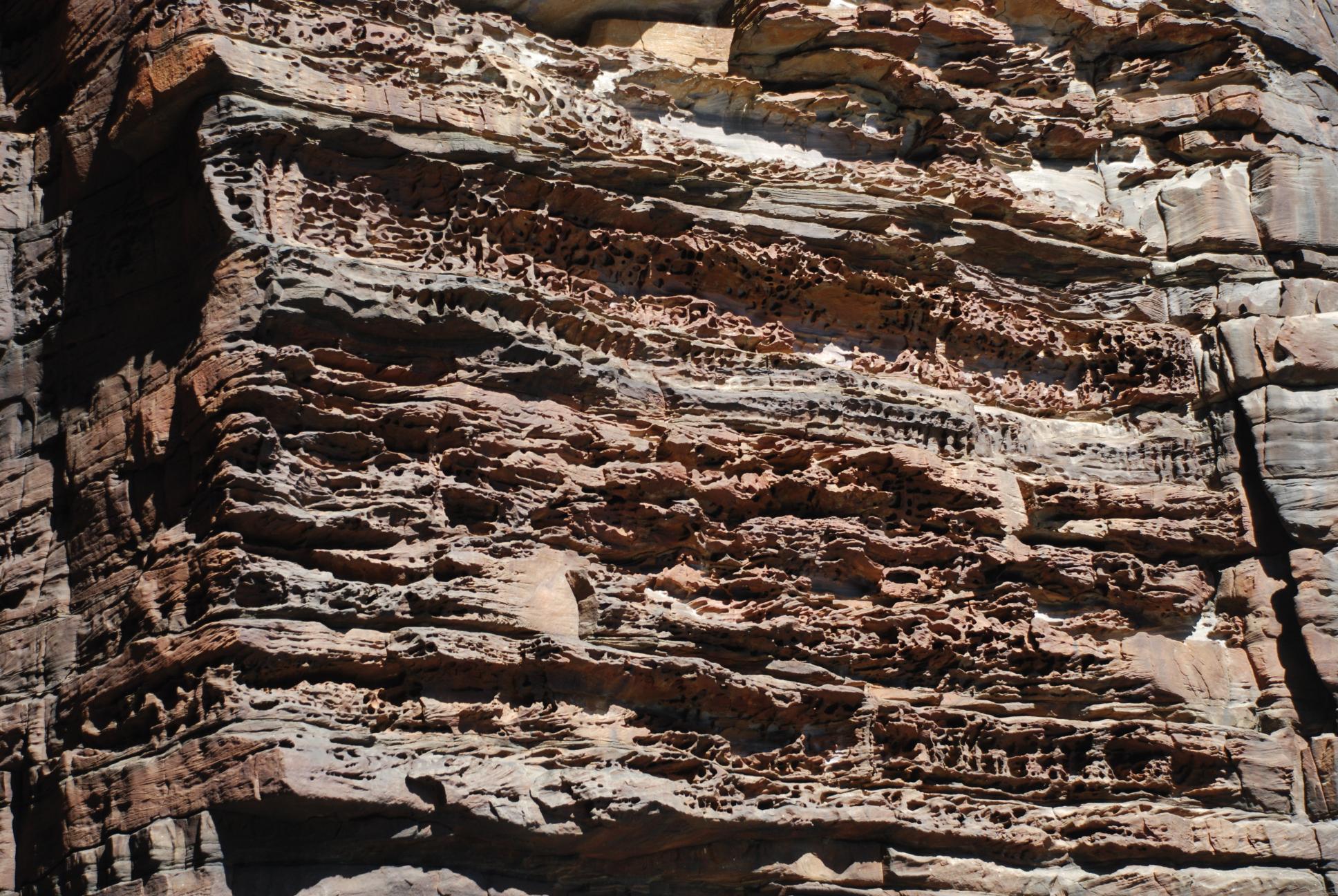
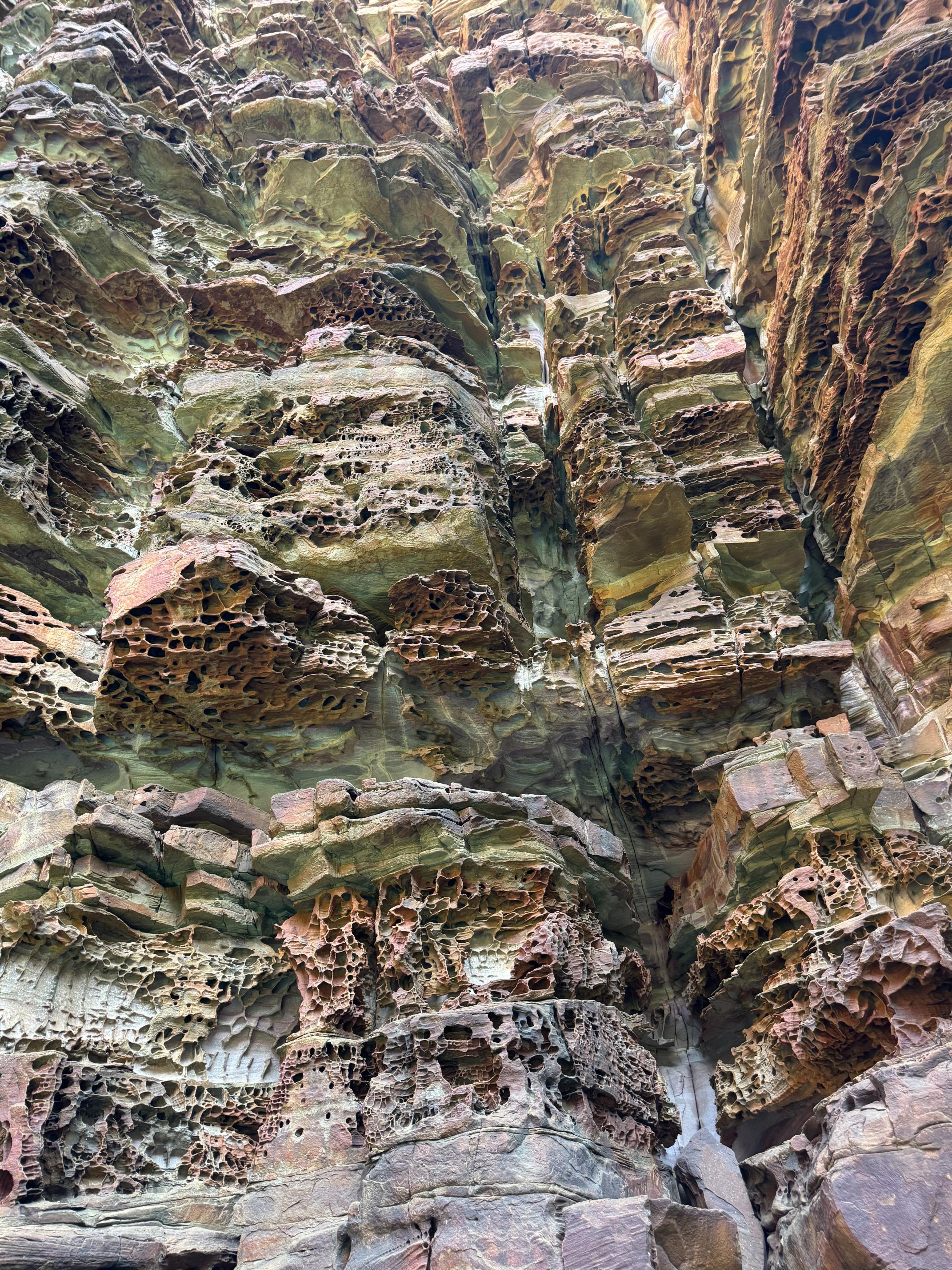
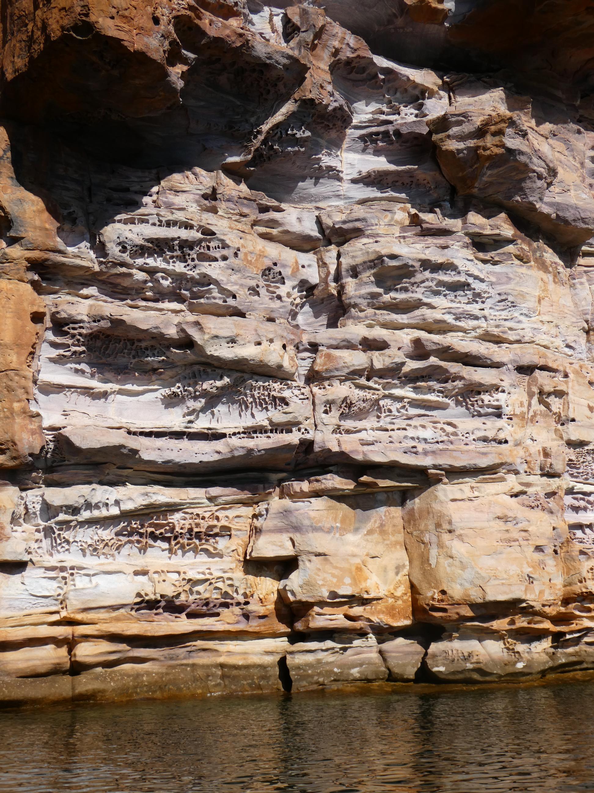
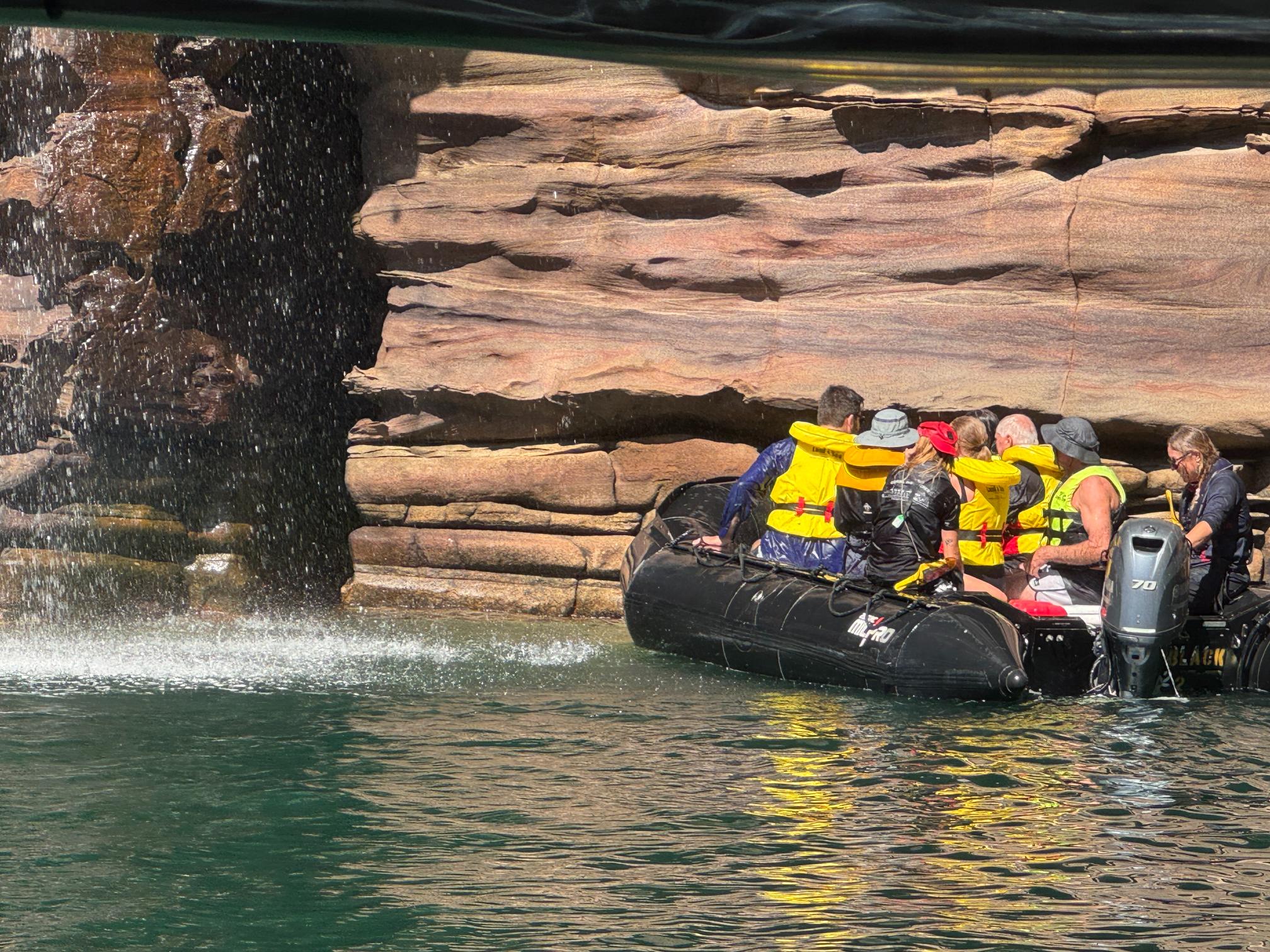
Although the tender brought us in very close to the falls, the zodiacs could take us in even closer. We were given the option of a dry run or a wet run. We opted for the dry run, while others chose the wet one, which actually took them right under the falls and gave them a good soaking. I was happy with the dry zodiac run stopping a metre or two short of the falls and keeping my camera nice and dry. The wet people did return to the tender very happy though. Given that they couldn’t swim with the crocs, a shower under the falls was probably the next best thing. We were out in the zodiacs for quite a while exploring the gorge walls and going in for a closer look in a number of interesting places.
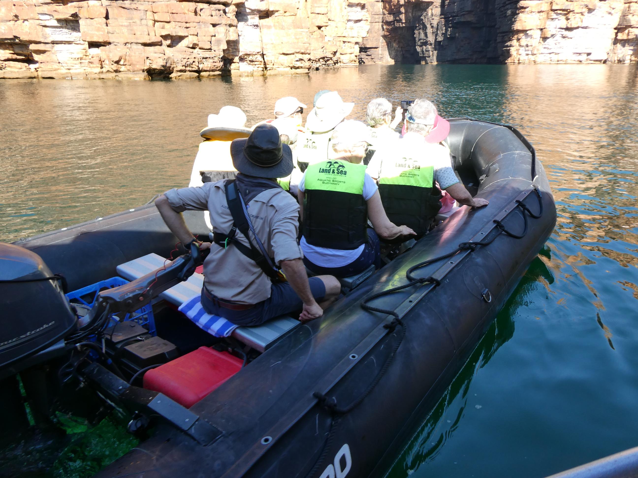
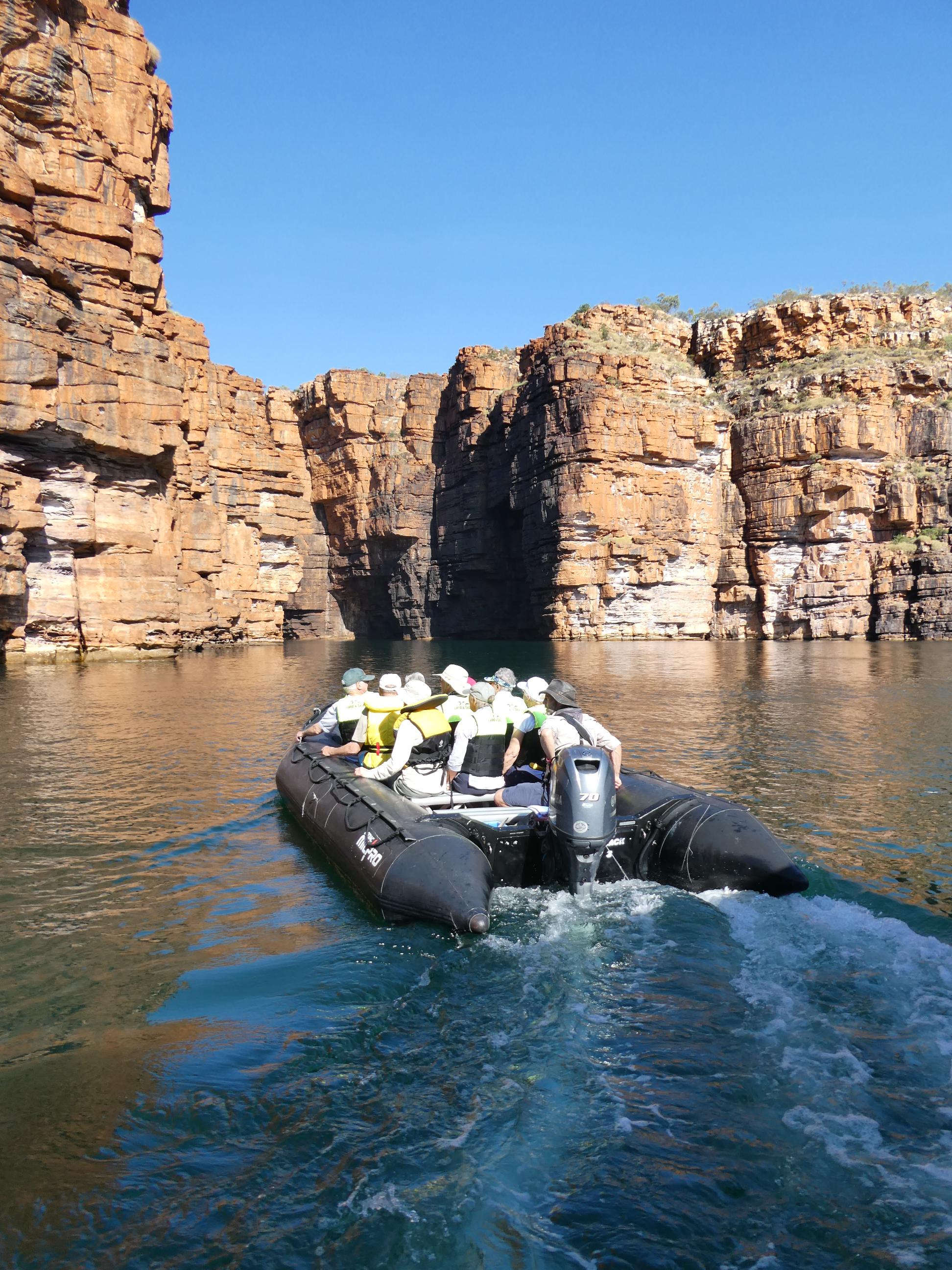
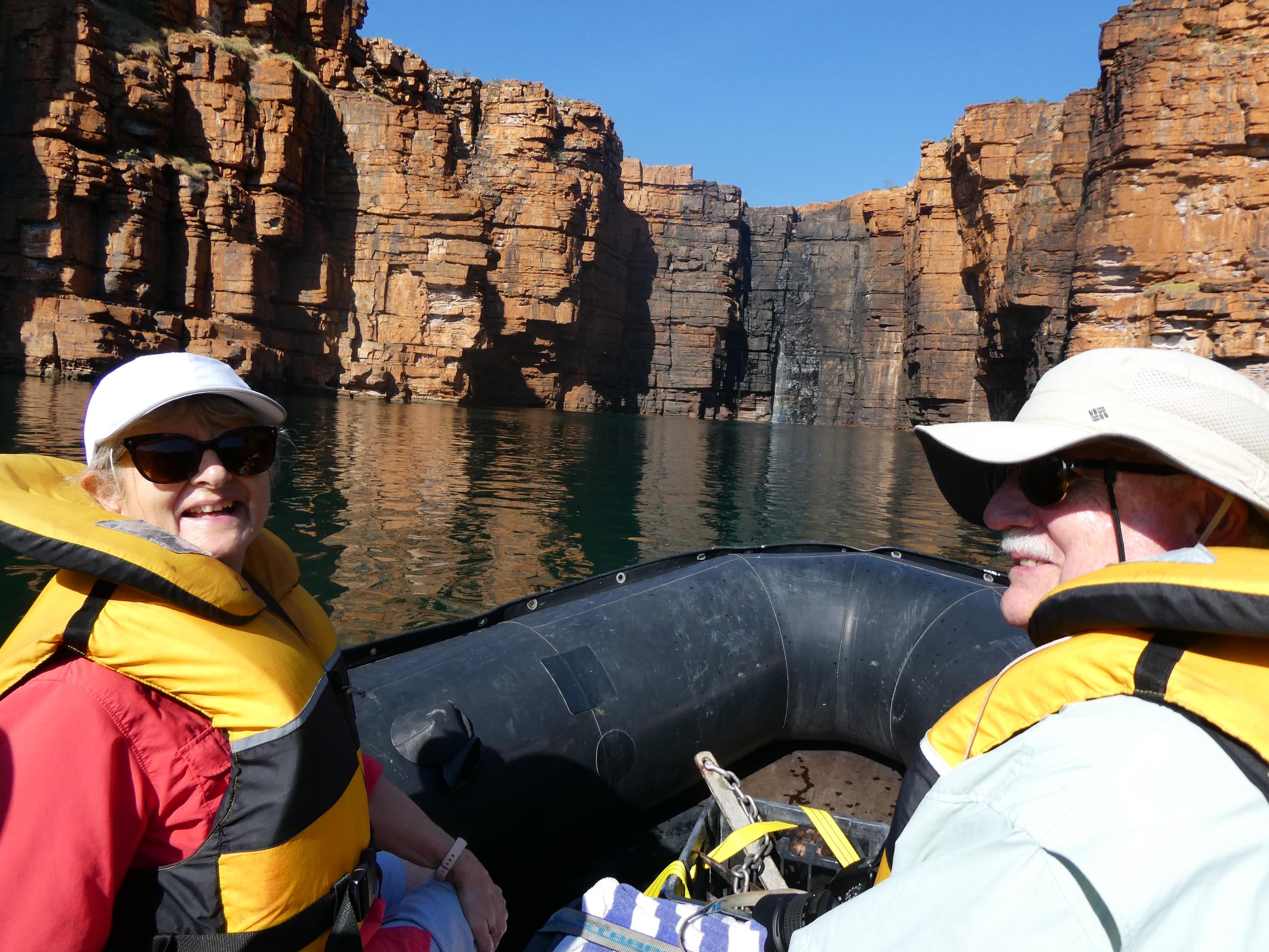
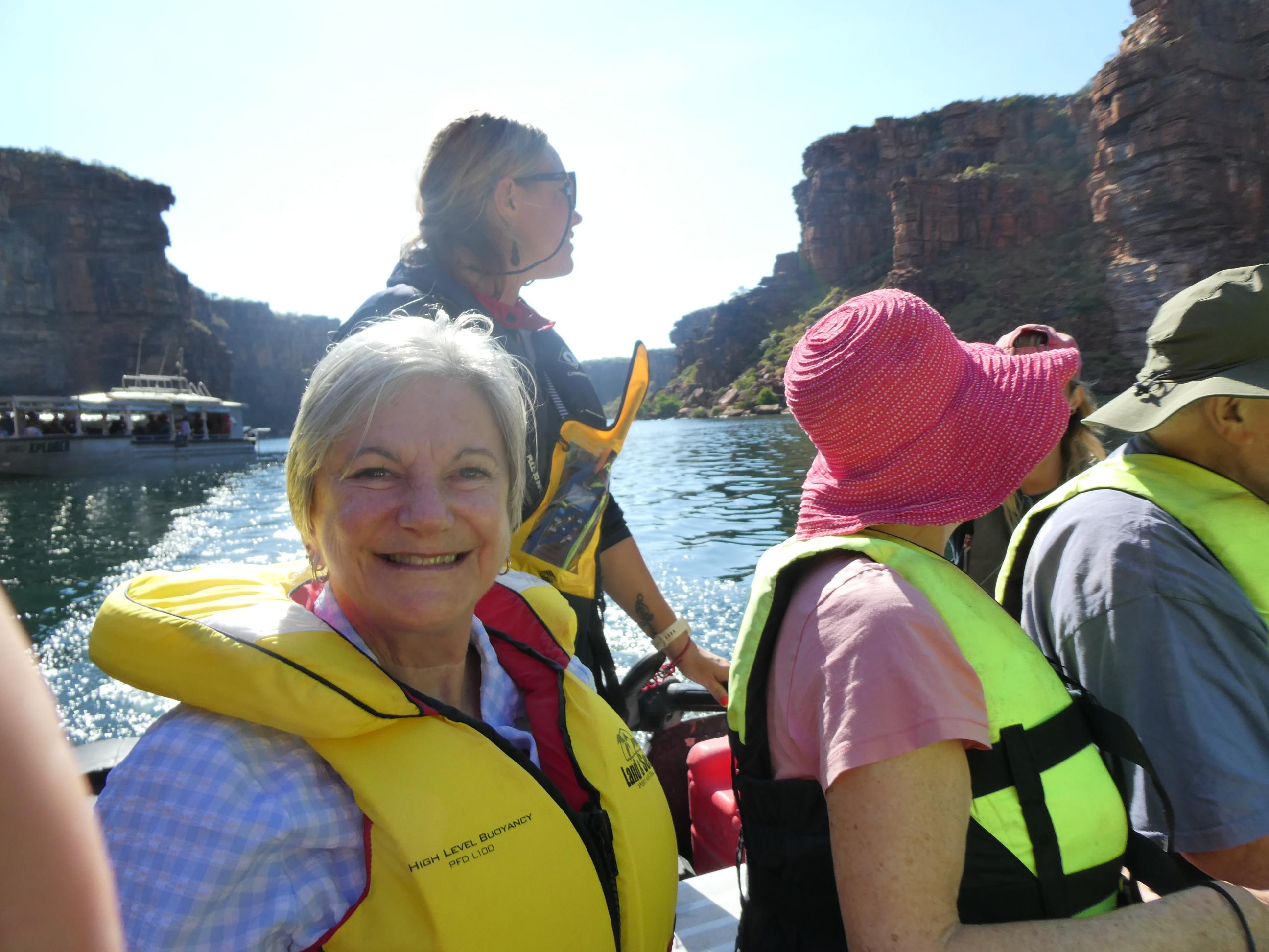
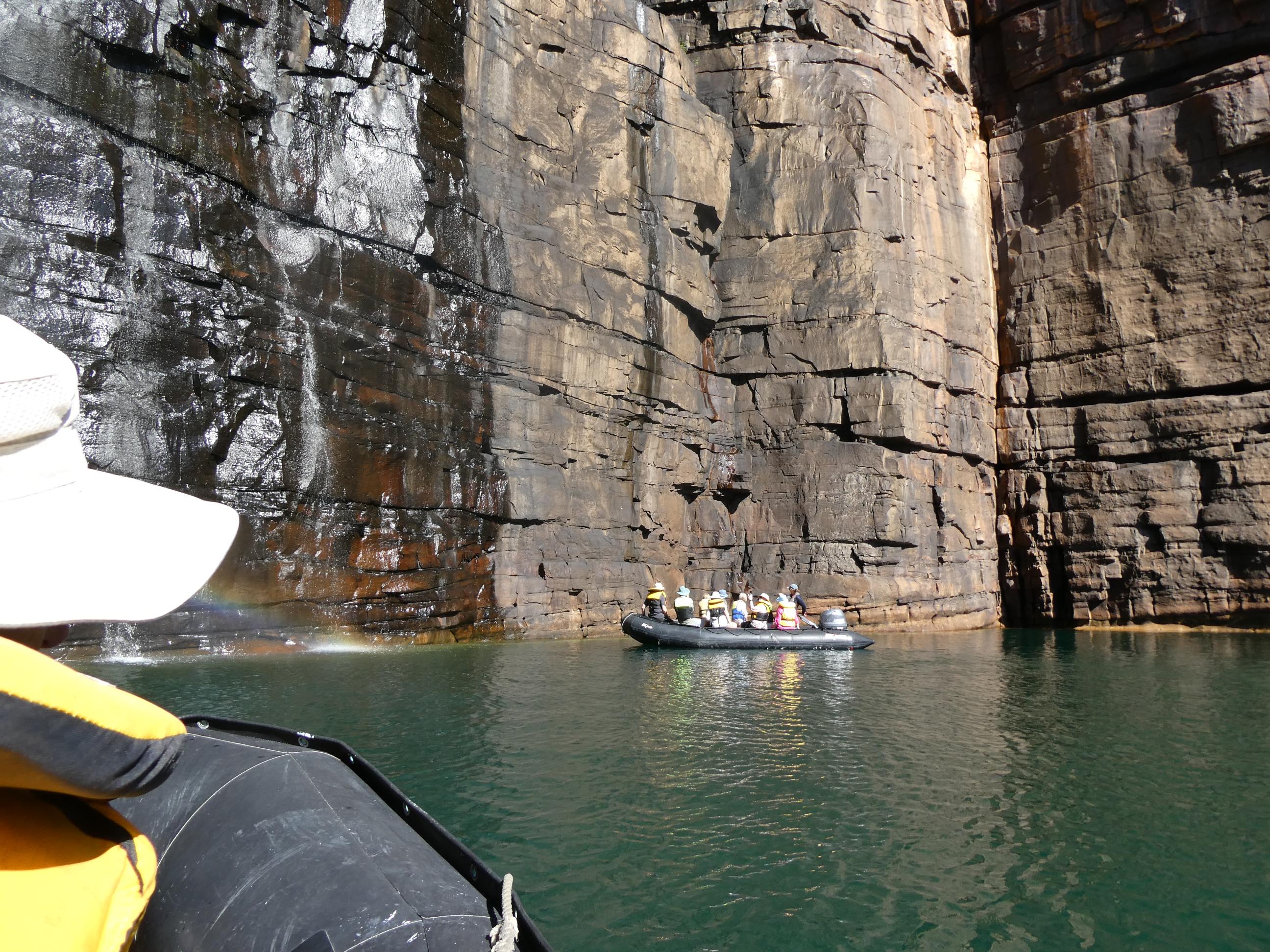
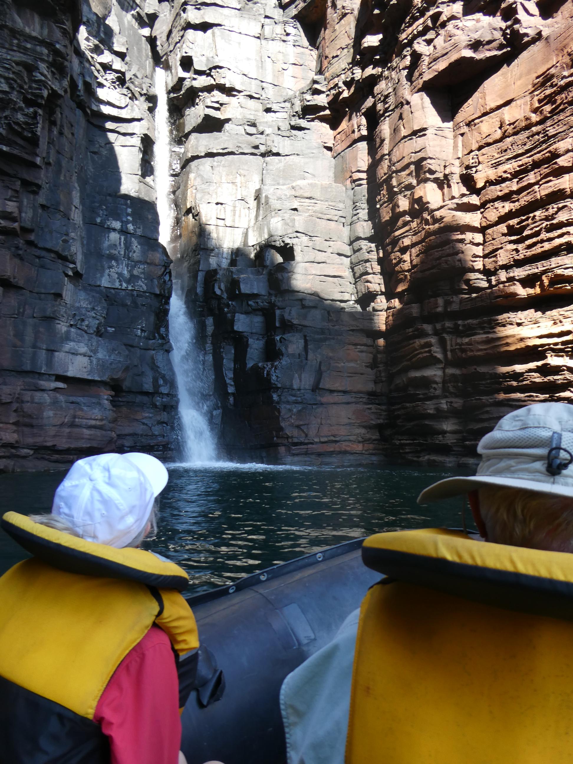
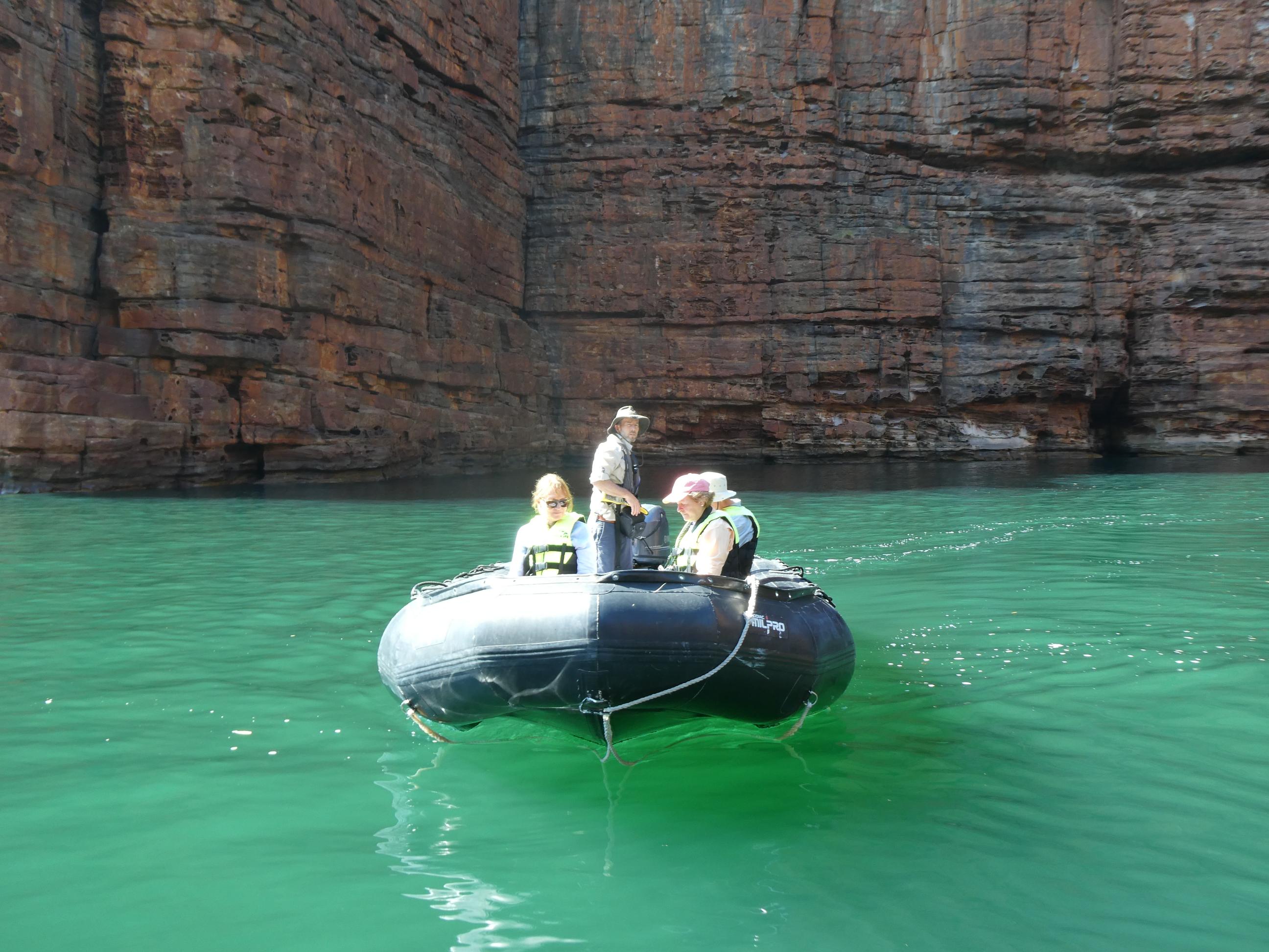
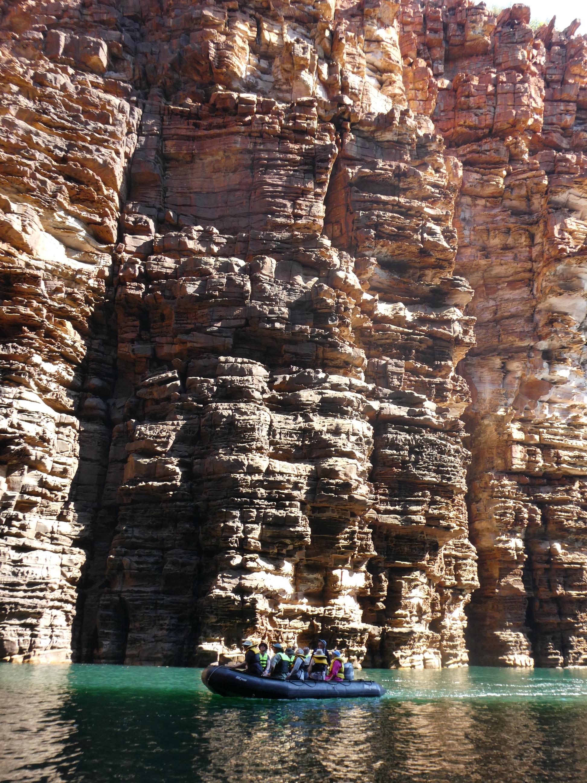
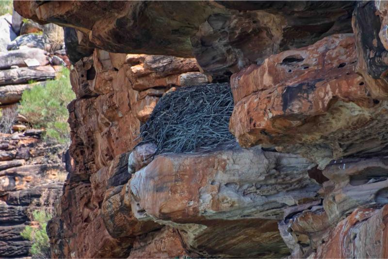
We spotted a sea eagle in the distance circling over the cliffs. I was on the wrong side of the tender and didn’t get a very good photo, but we also saw its nest. Apparently the same pairs return to the same nest, built of sticks on a rock ledge, year after year. Rod got a good pic and said I could use it here.
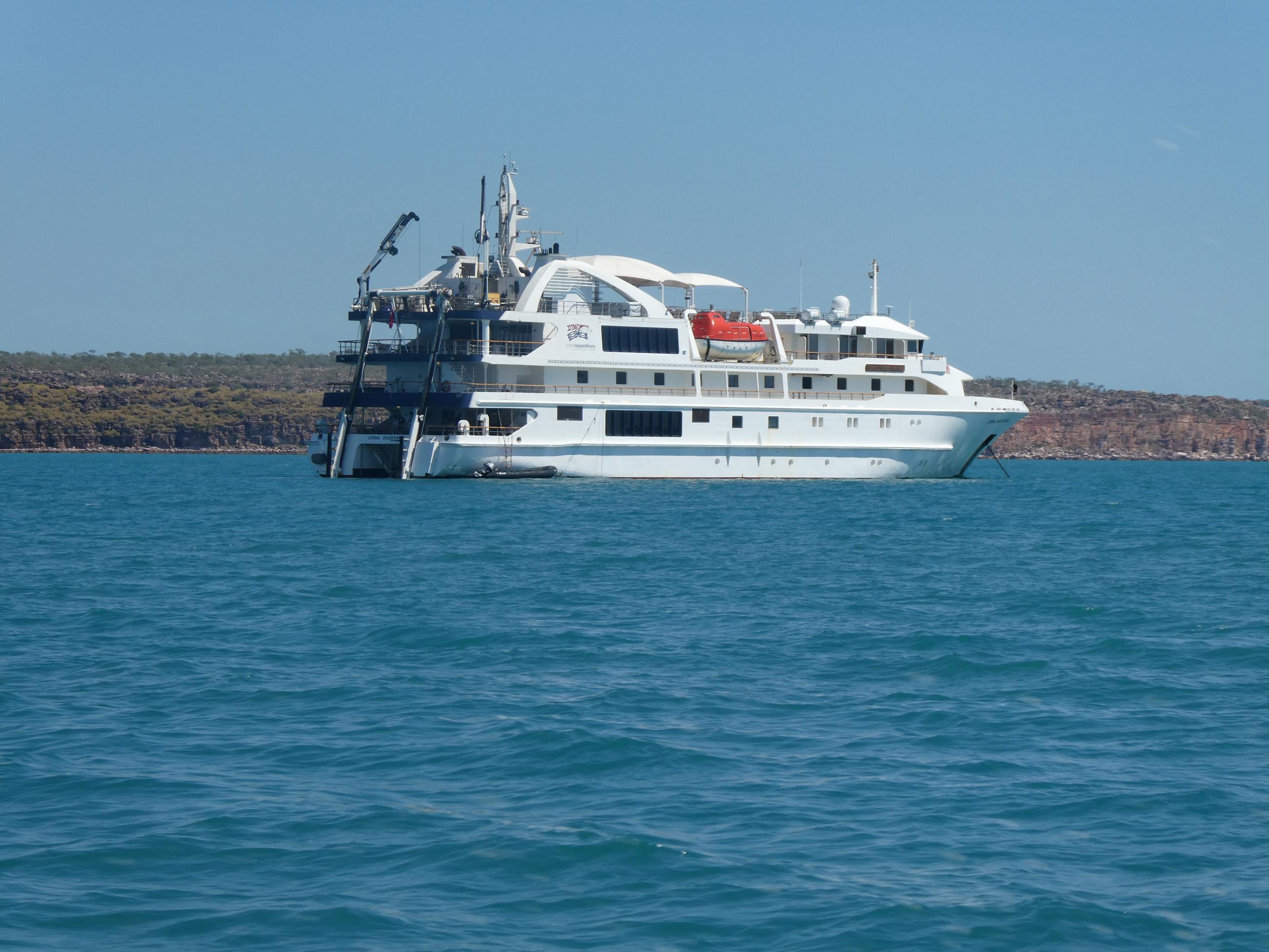
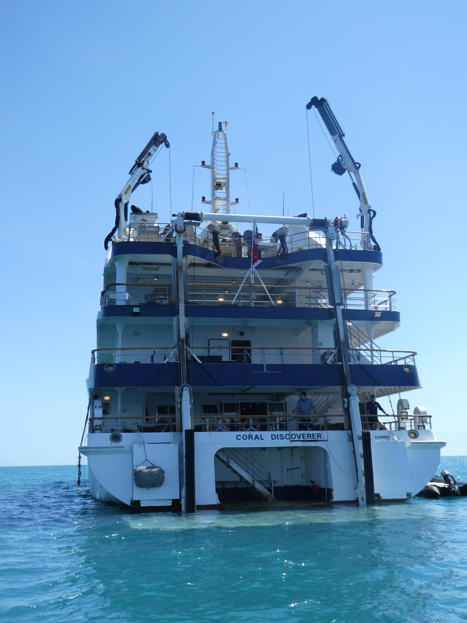
After a couple of hours exploring the King George River and its wonderful geology, our tender returned us to our cruise ship anchored in the bay. We brought the tender in to the aft of the boat like you might park a car against a kerb, then a winch brought the tender up to the main deck level and we walked straight off onto the ship. It literally took a couple minutes. Then the tender was winched up the level of the upper deck and secured ready for our next voyage.
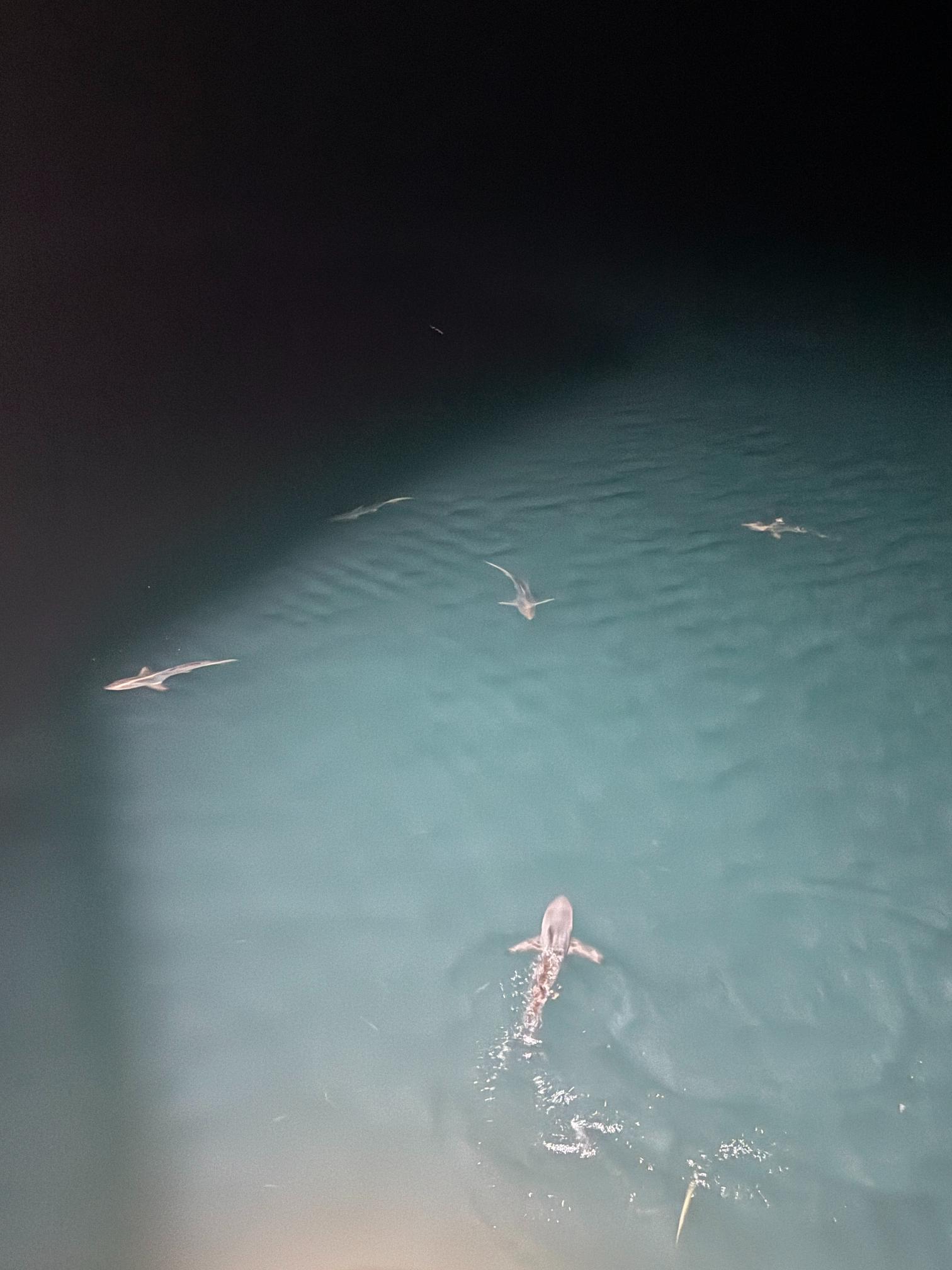
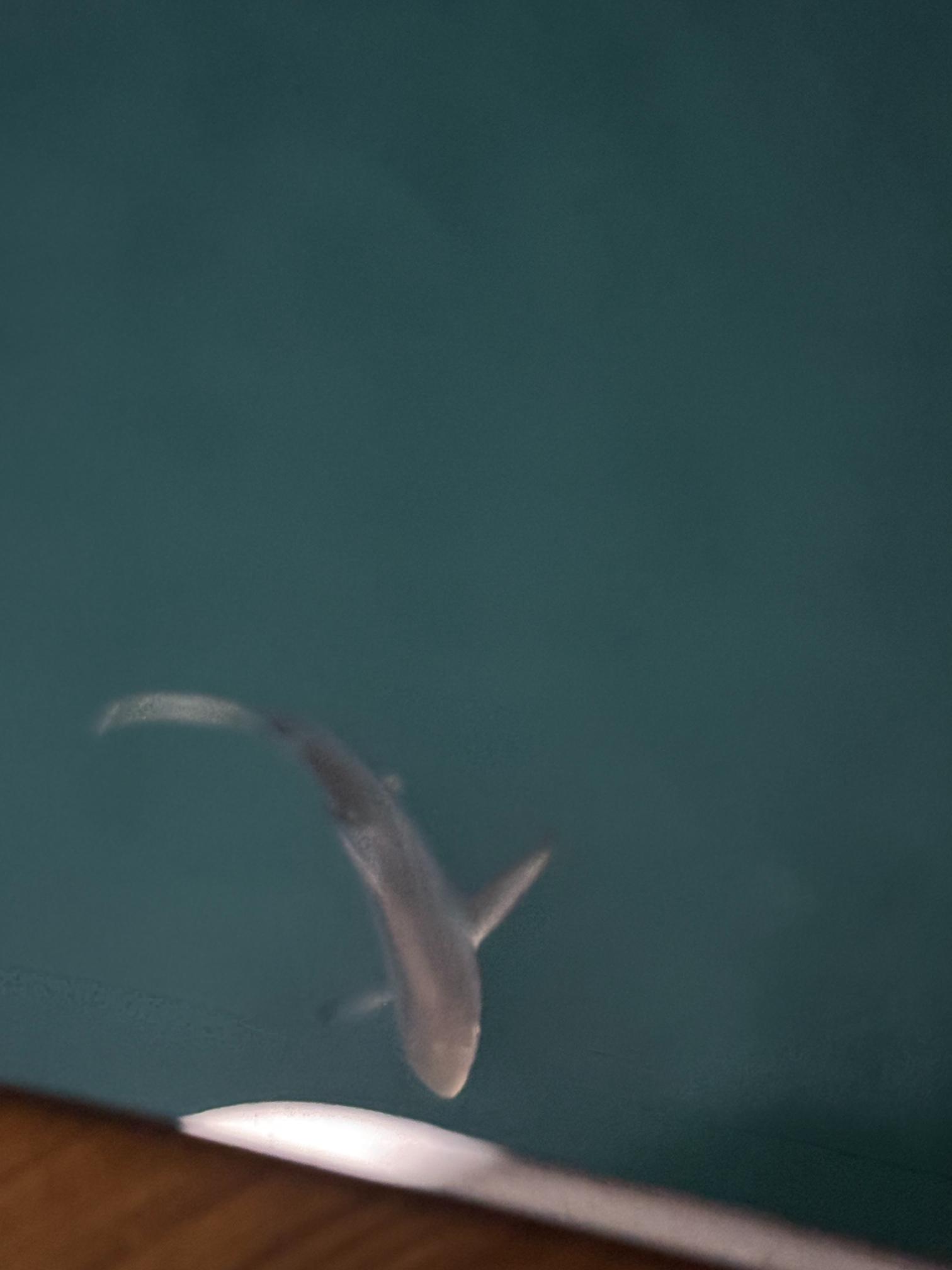
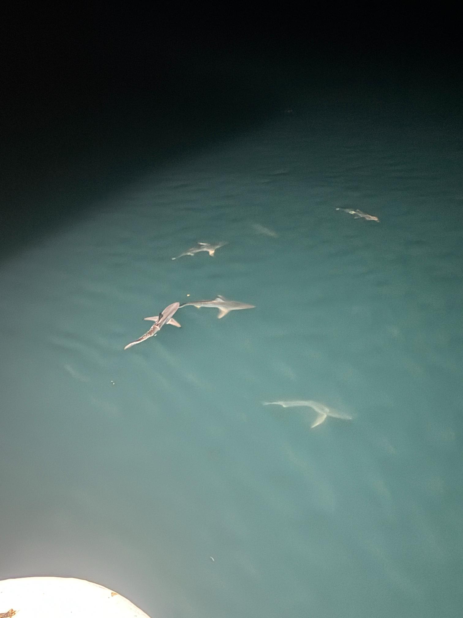
Some hours later, our cruise ship was still at anchor in Koolama Bay as we were finishing dinner. Our wait staff came to the table to tell us there were a number of grey nurse sharks circling around the prow of the boat. The captain turned the floodlights on so we could get a good look. I watched them circling for about five minutes. The most I counted at any one time was seven sharks. It’s pretty easy to understand why we were told there would be no swimming anywhere on this cruise.
 On The Road With Garry
Glad you are on your way. Looks like a fascinating voyage so far and in relative terms to Europe, not so far from home. Looking forward to the rest of the journey.
LikeLike