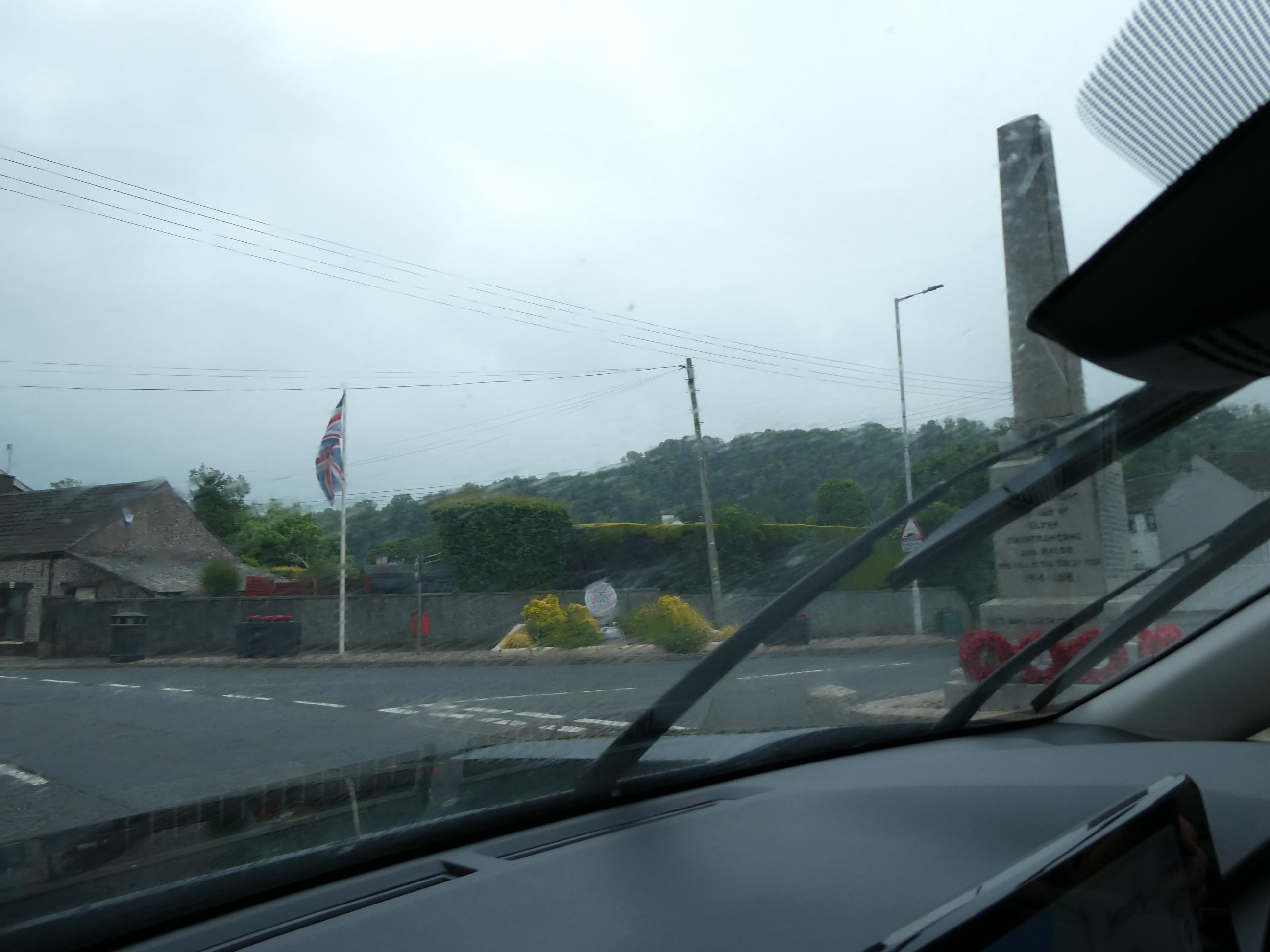
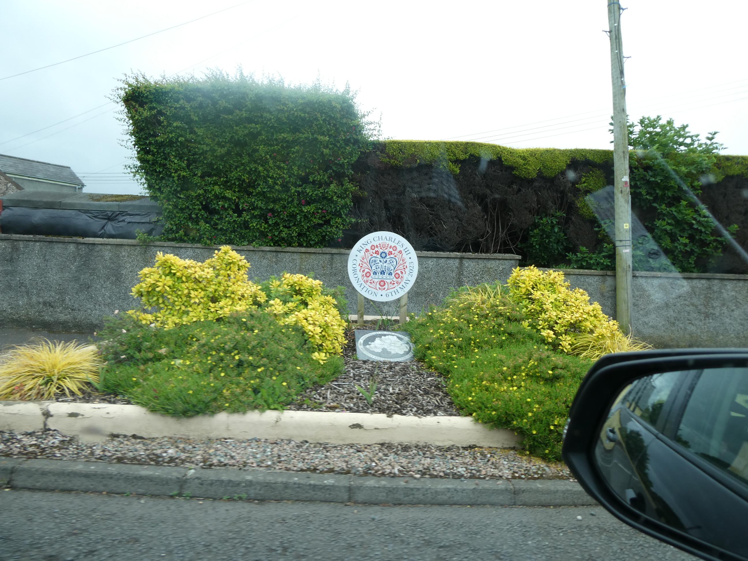
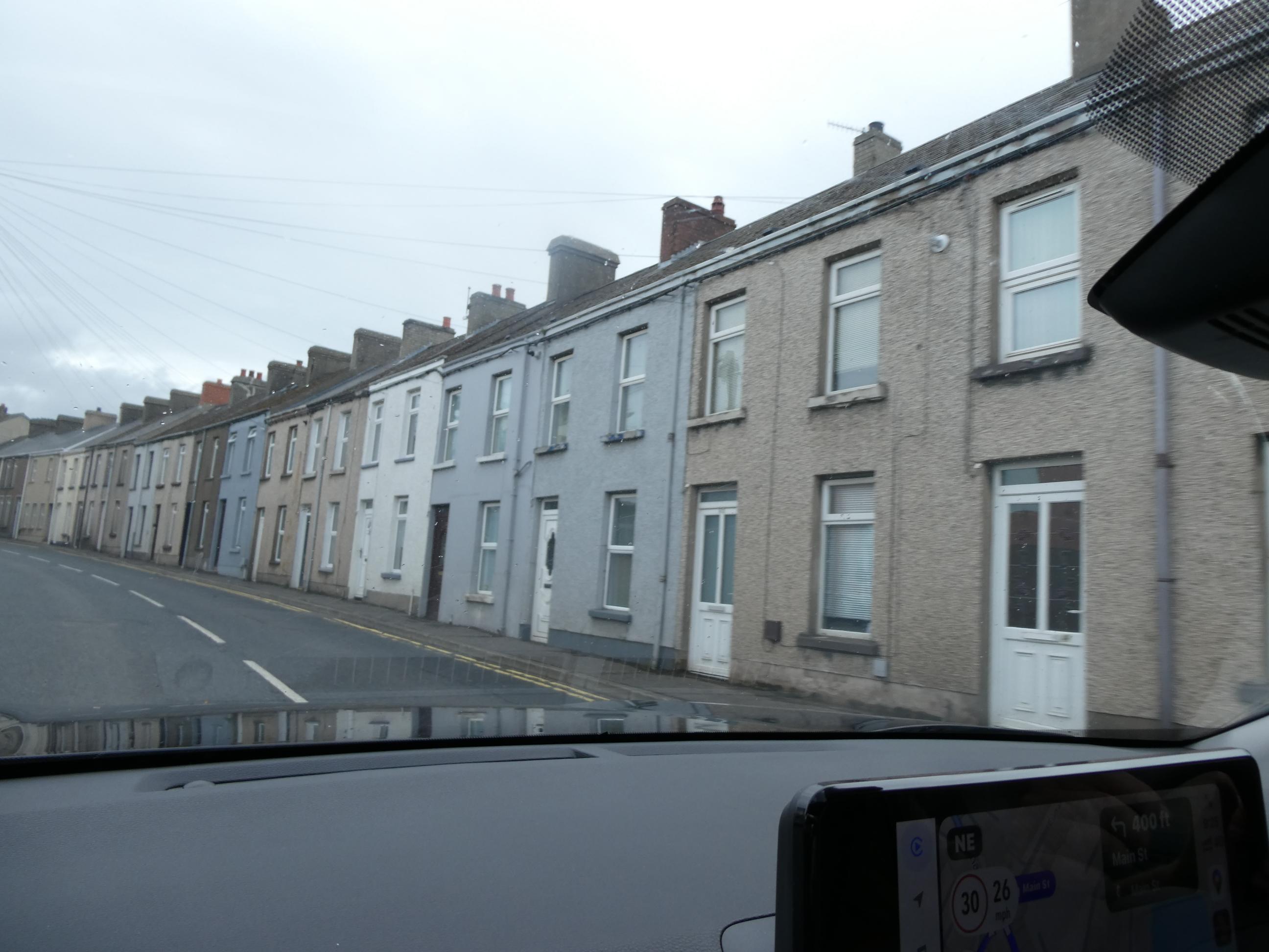
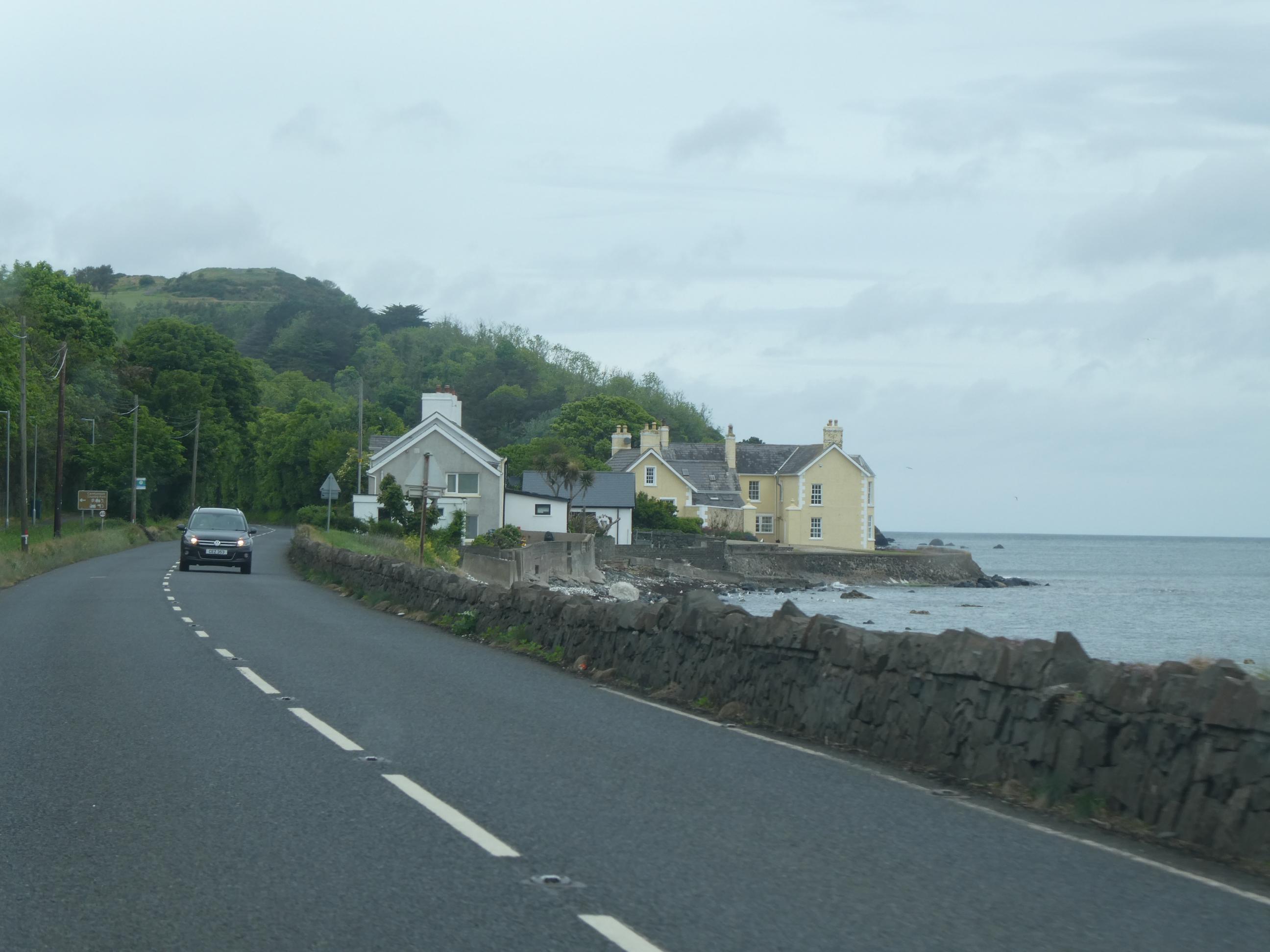
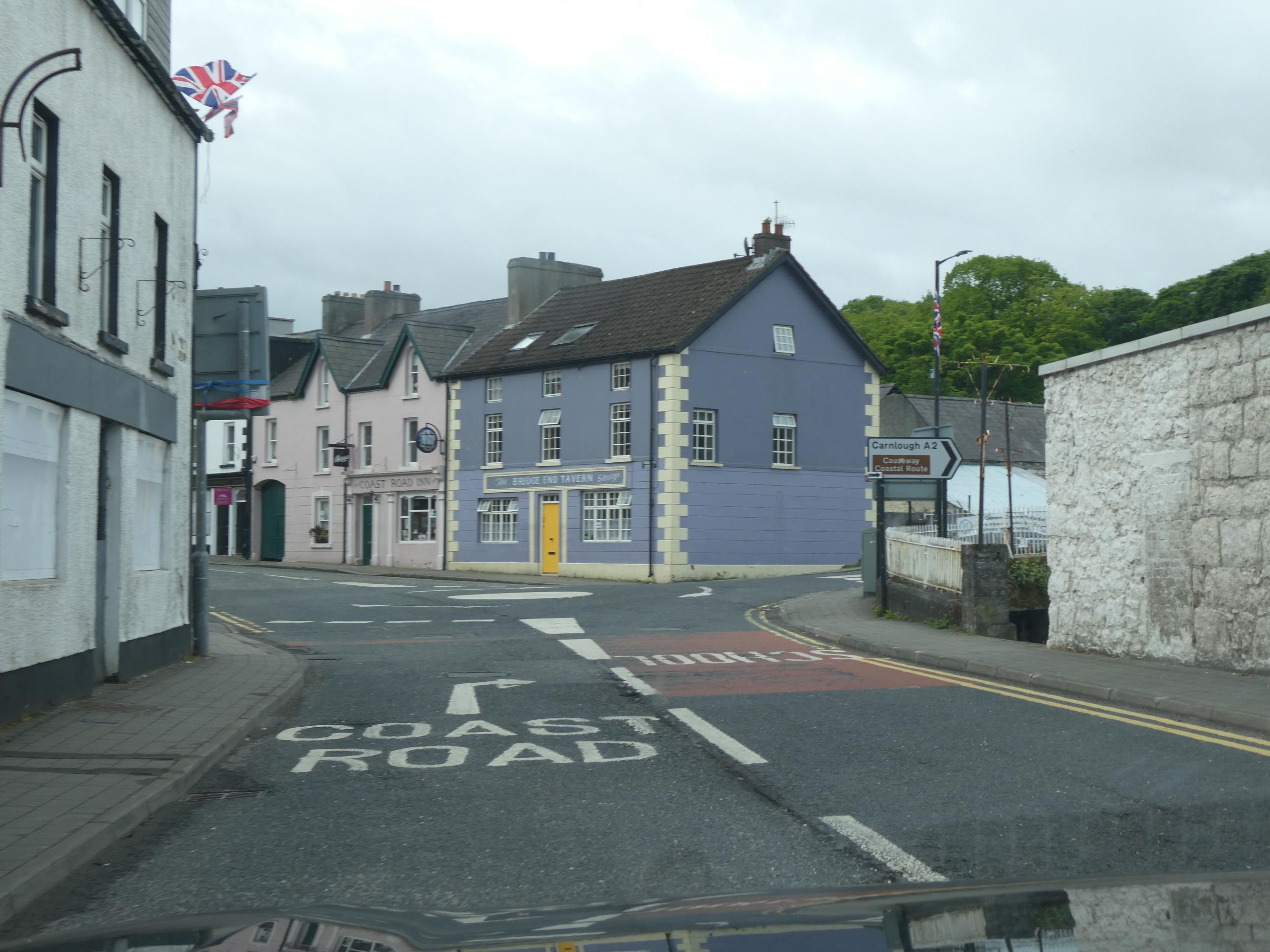
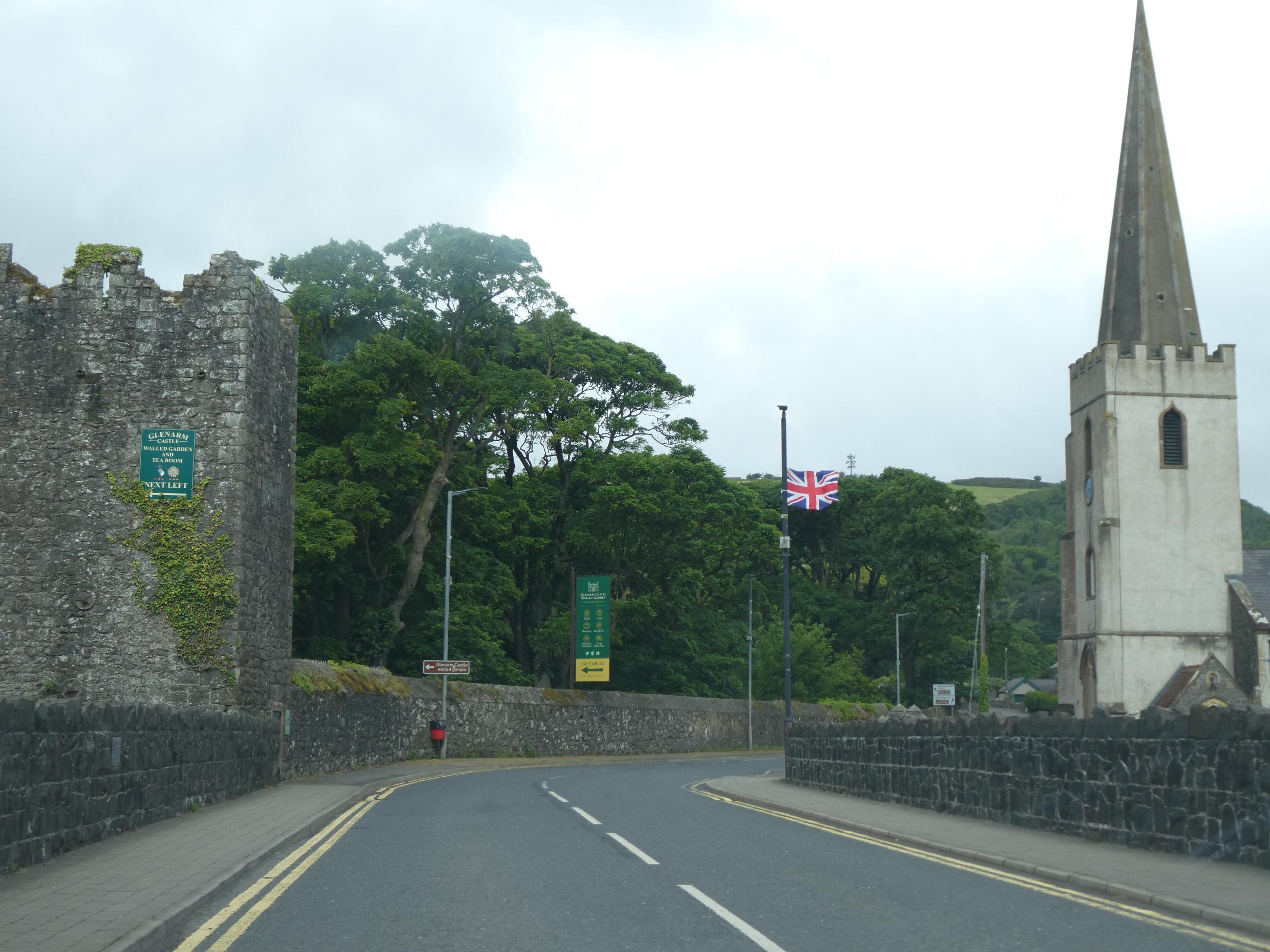
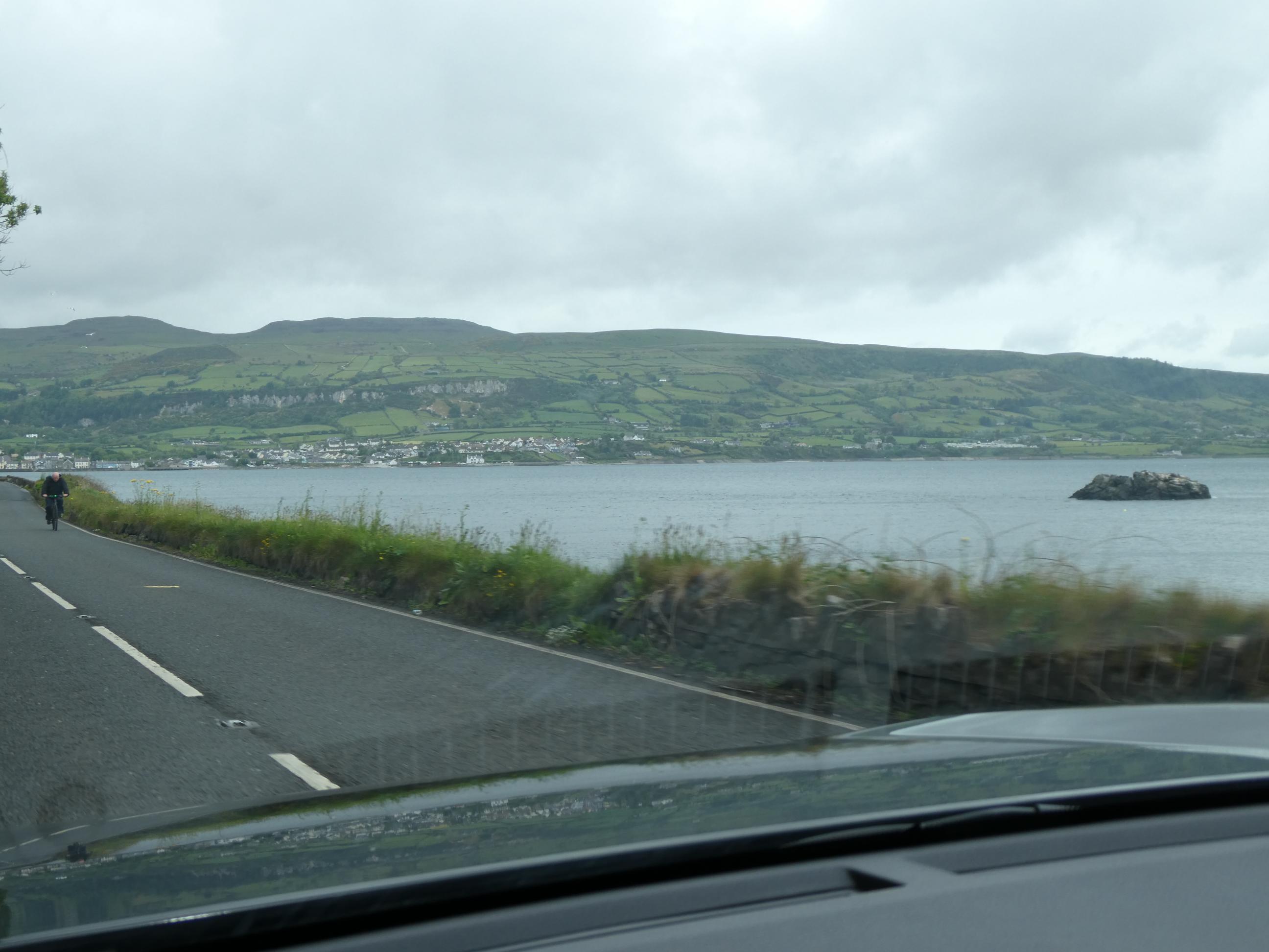
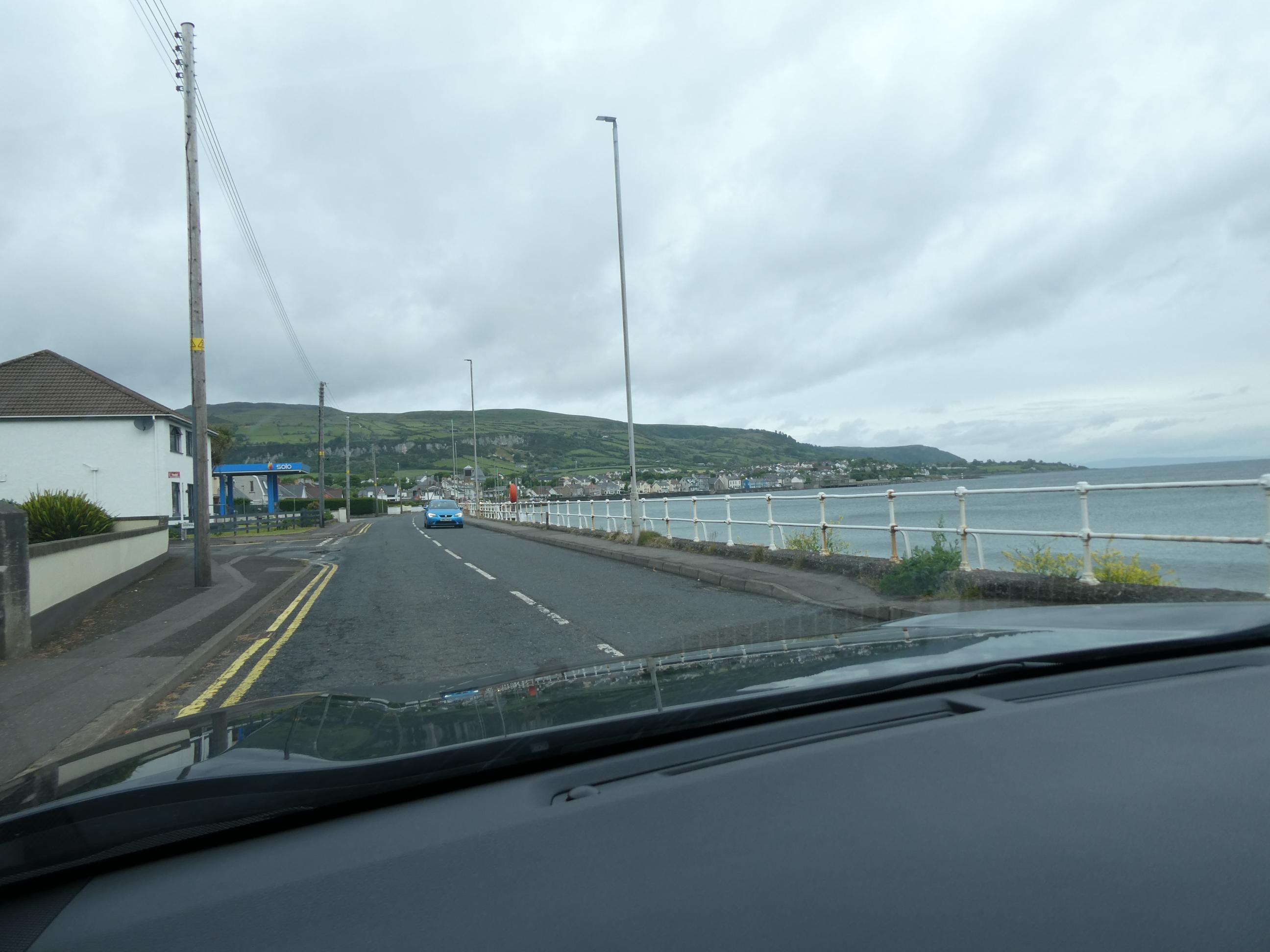
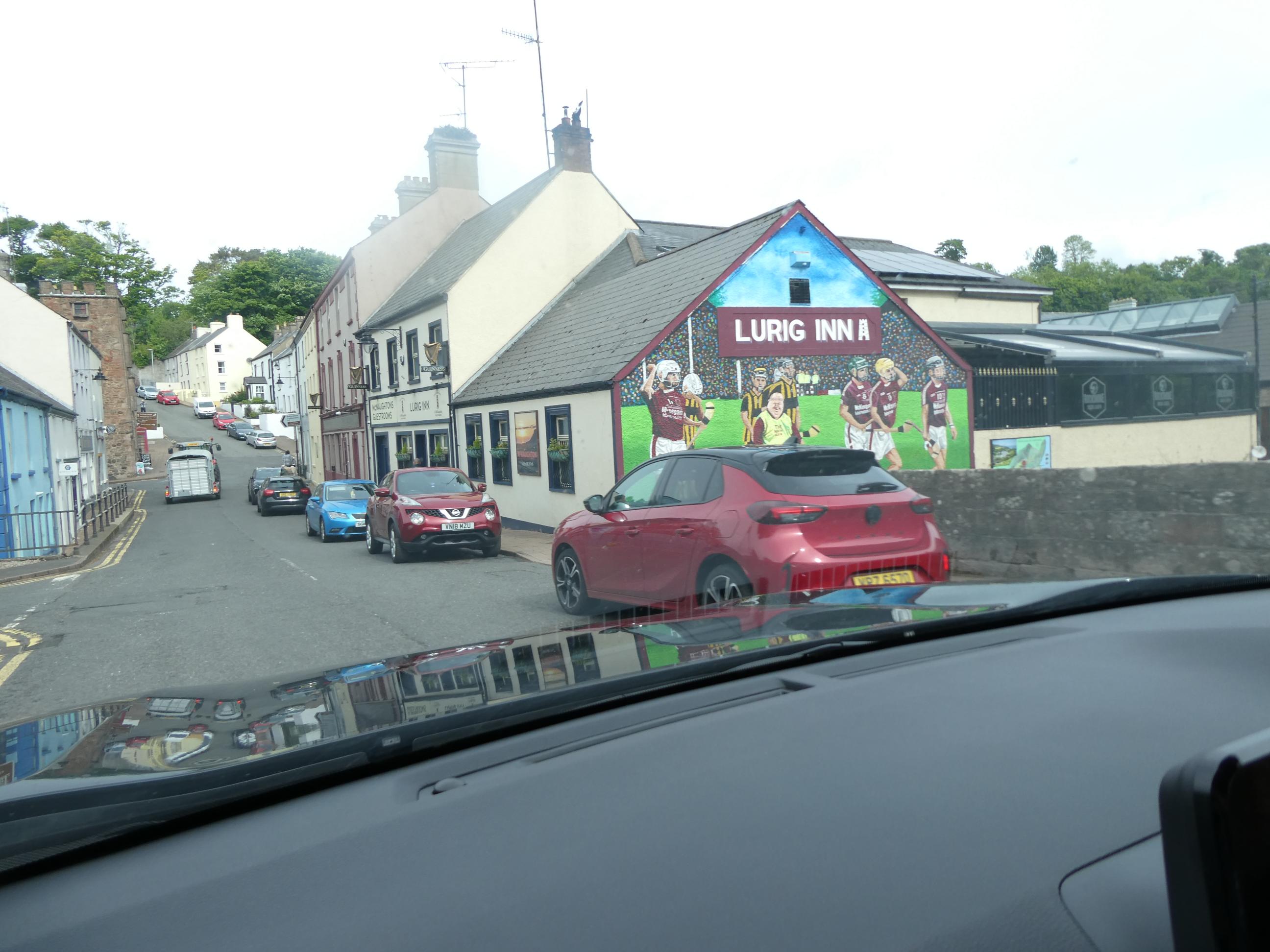
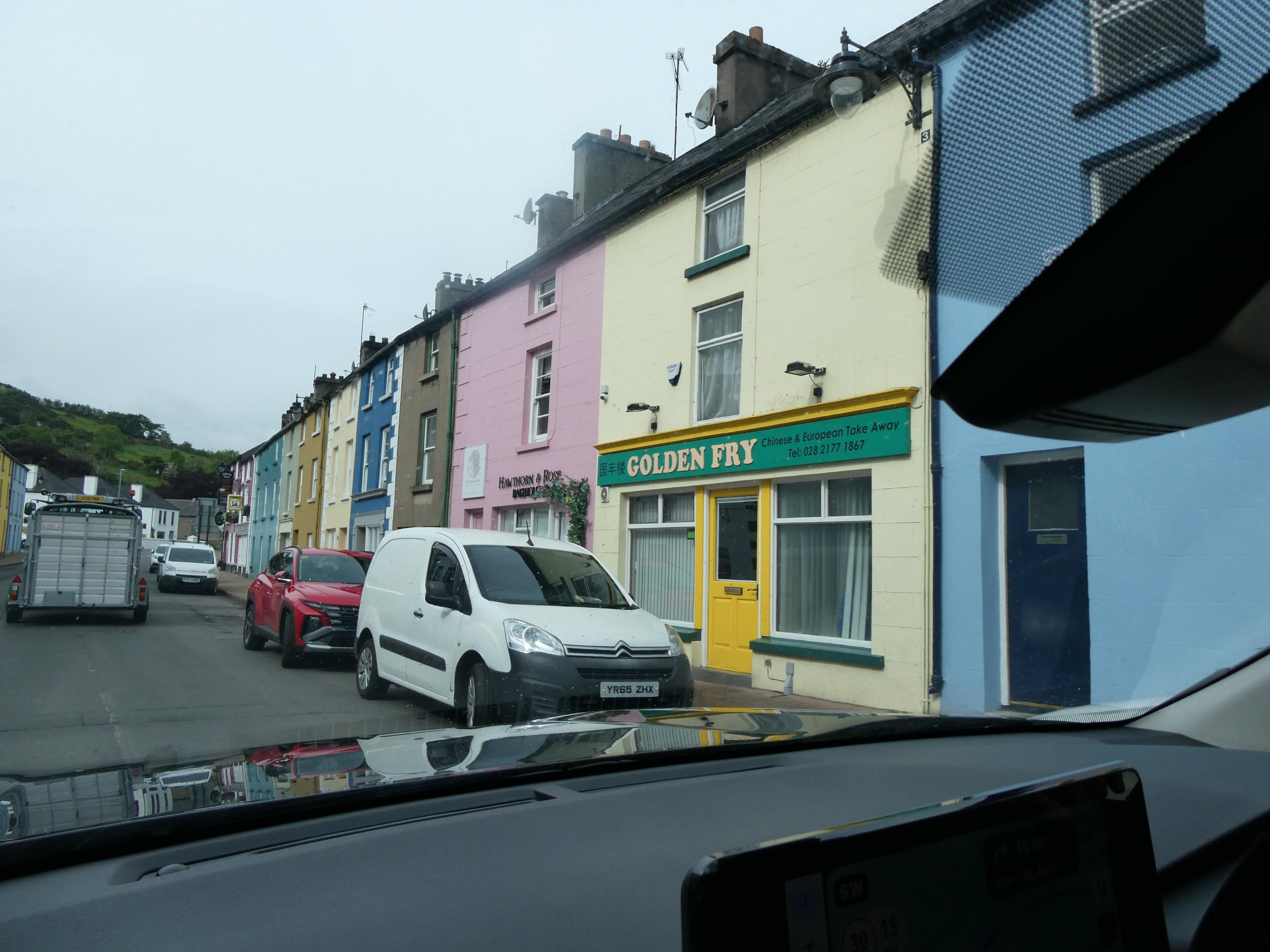
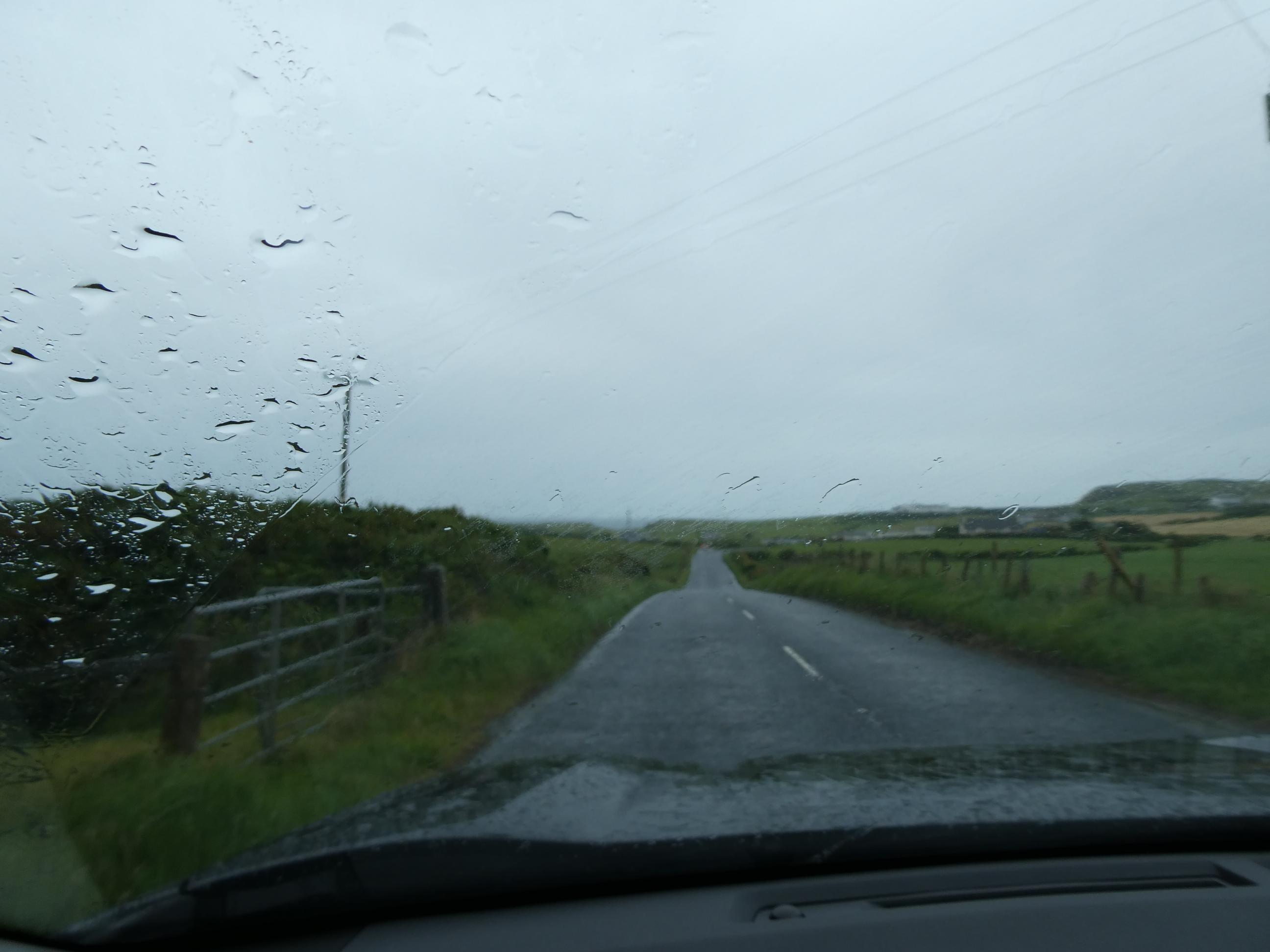
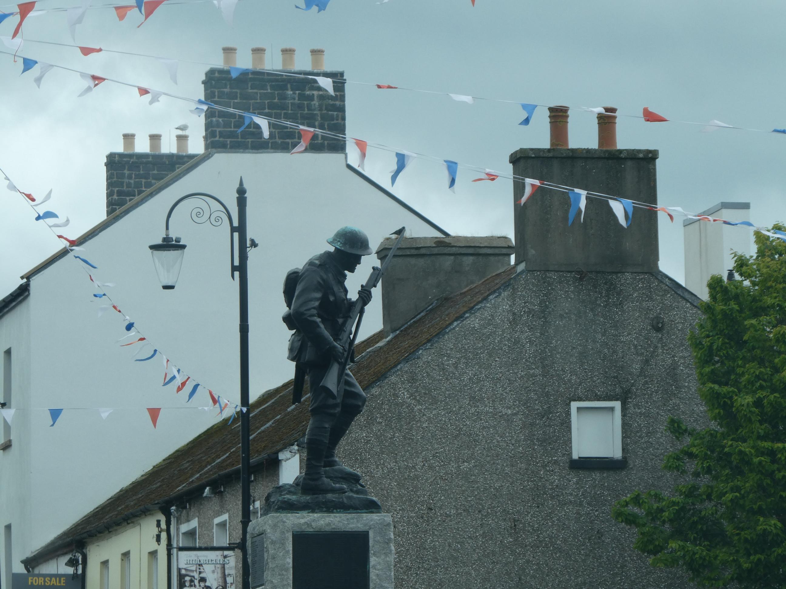
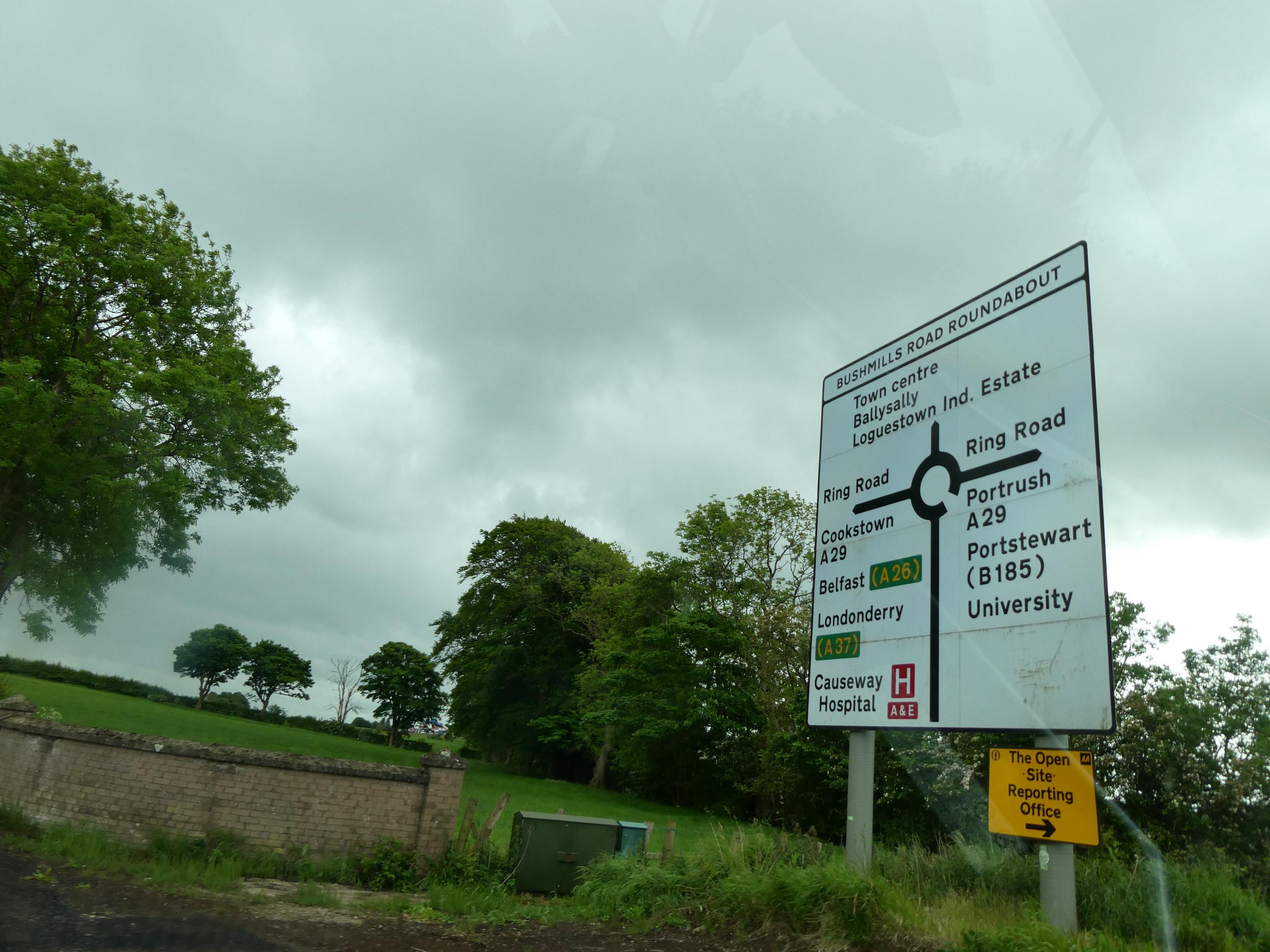
We decided to take the longer coastal route from Belfast to the Giant’s Causeway this morning. The sky was overcast, rain never looked far away and the day was chilly, so the coast probably wasn’t going to look its best, but nevertheless we had read that this was one of Ireland’s most scenic drives and we were hoping it would live up to its reputation. The first town we passed through just north of Belfast was Carrickfergus. I didn’t know much about the town, but I’ve loved the song “Carrickfergus” since it was covered by Van Morrison and the Chieftains on their fantastic “Irish Heartbeat” album back in 1988, so now I’m glad I’ve been there. The waters of the Irish Sea lapped against the stone walls of Carrickfergus Castle as we drove past. Defying the dullness of the day, we drove through some very charming seaside towns as we headed north around the coast. When you come around a bend in the road and get your first sighting of them, you see a long thin line of white (or sometimes pastel-coloured) dwellings set just back from a sweeping crescent-shaped beach, with a backdrop of emerald green fields and hills surrounding them. It’s usually a sight worthy of a picture postcard. The first few towns north of Belfast all seemed to have a loyalist inclination, as Union Jacks and other British flags, many at half mast (maybe lowered for the recent commemoration of VE Day?), were quite prevalent, fluttering in the strong breeze. It left you in no doubt where the sympathies of these towns lay. There were no republican tricolour flags anywhere to be seen. A large sign we drove past in the middle of one roundabout named a man who’d been murdered by Irish republicans, and ended with the veiled warning, “You know who you are!” Just after that we passed a garden honouring King Charles III. We passed through a number of places with interesting names – Ballystrudder, Ballylumford, Ballygalley, Ballycairn, Ballypatrick, Ballyvoy and Ballycastle. There were roads heading off to Ballymena, Ballymullock, Ballyknock and Ballynaloob. I could go on, but you get the idea. I googled “Irish place beginning with bally” and discovered that Ireland and Northern Ireland combined have 5,182 different places that begin with Bally, and that it is a Gaelic word meaning “place of”. That makes good sense to me. I was to grapple with another Northern Irish place name conundrum later in the day too. The coastal route went inland north of Cushendall and we didn’t sight the sea again until we reached Ballycastle on the north coast. It was raining by this time and we drove the final miles (not kilometres in Northern Ireland) to the visitors’ centre of the Giant’s Causeway in the rain.


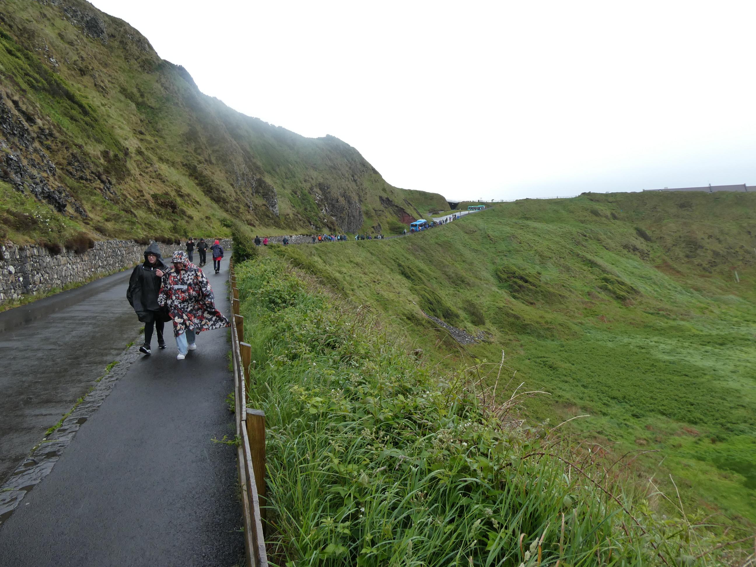
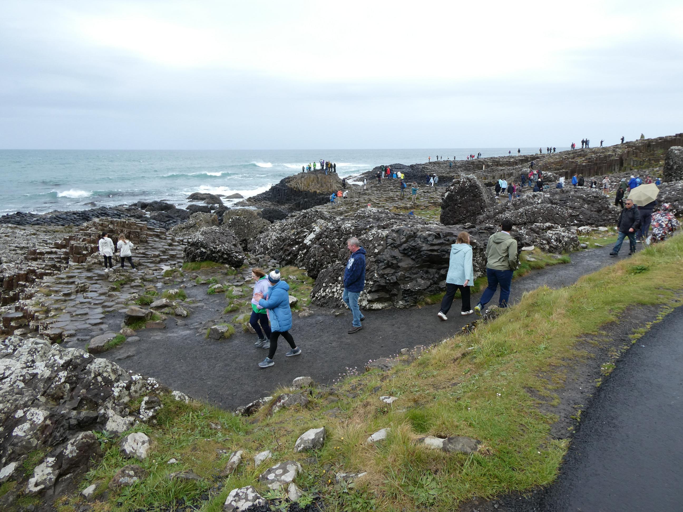
When we got out of the car near the visitors’ centre, the rain was quite heavy and the breeze was really chilly. We all put jackets, rain gear and hoods on. After a quick look around the interpretive displays, which were excellent, we started the 1km walk down to the causeway. It was still cold, but thankfully the rain had eased off and soon stopped. All the Irish people we’ve spoken too, without exception, have told us the weather here was amazing right up to the time we arrived in Dublin and now say it’s appalling. Of course, we were lucky to have the same great weather while we were in England, and now it’s just our bad luck to have the rain following us around Ireland. It won’t spoil our holiday though. We’re having an amazing time, especially travelling with Rod and Cornelia. When we reached the bottom of the long hill we came to a place named Windy Gap – and it was! The wind, coming straight off the sea, was strong and very chilly as we passed through the gap, but it disappeared just a few footsteps further on when some hilly ground gave us shelter. In the distance we could see people walking out on the causeway. We soon joined them.
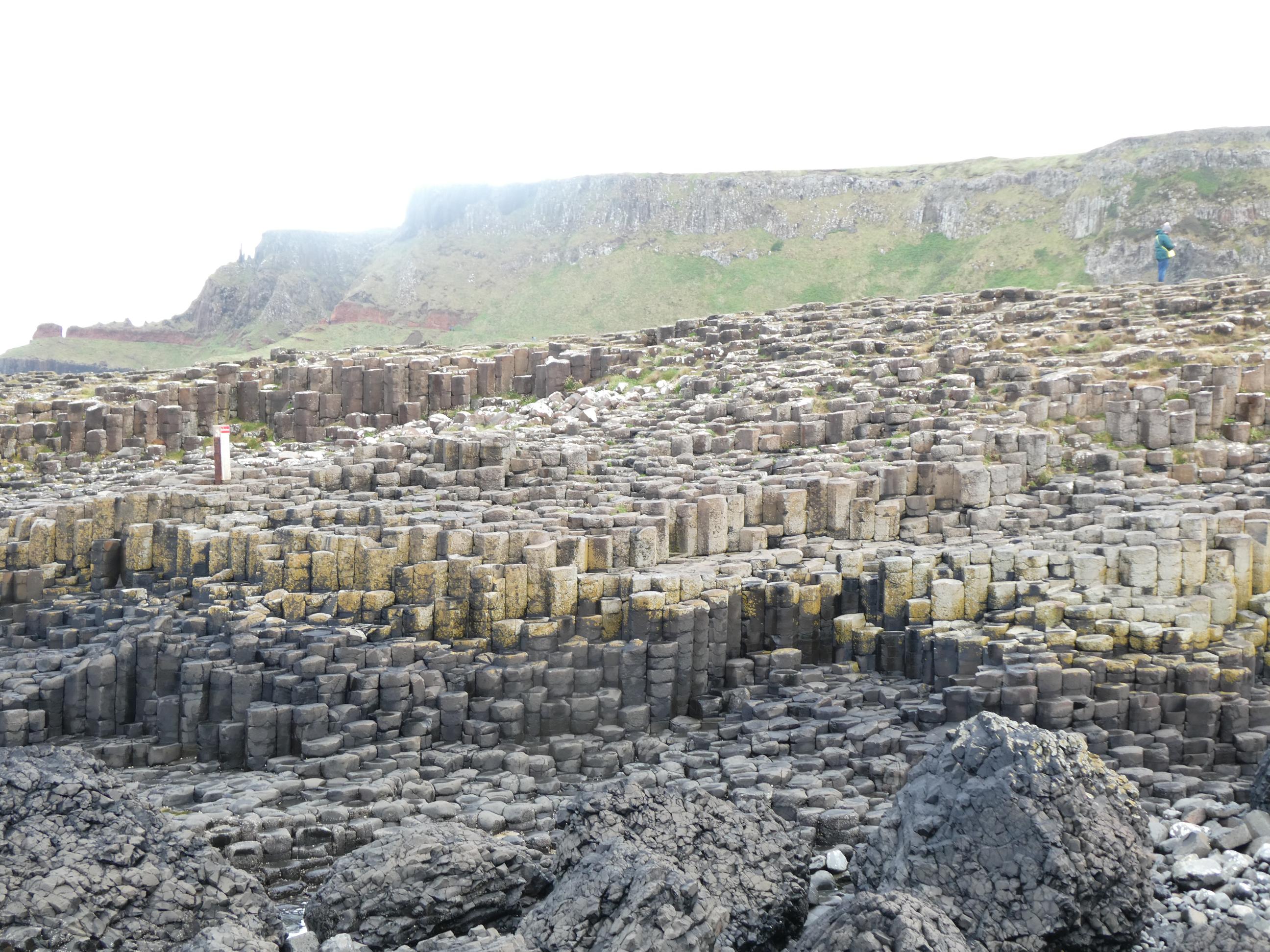
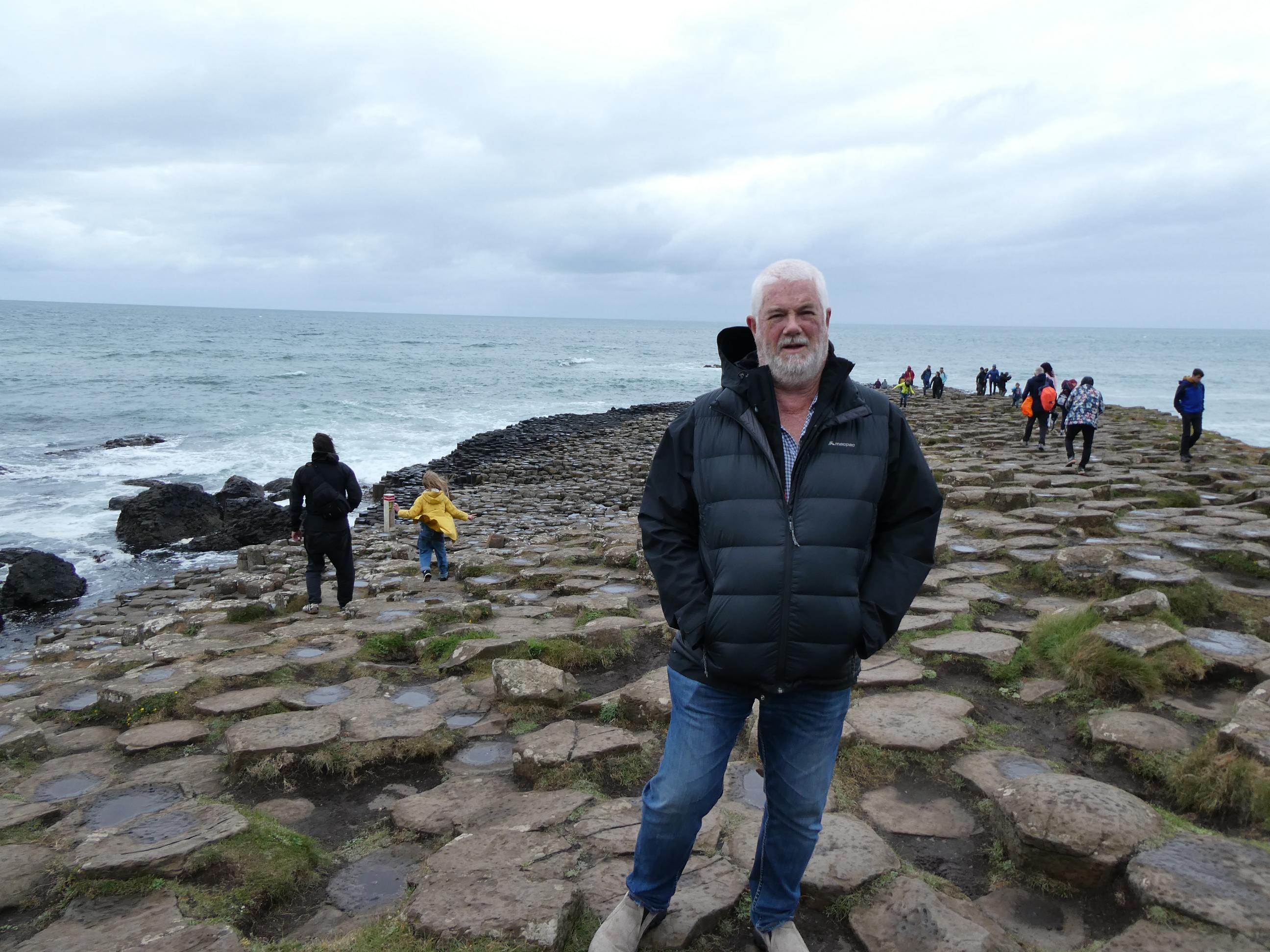
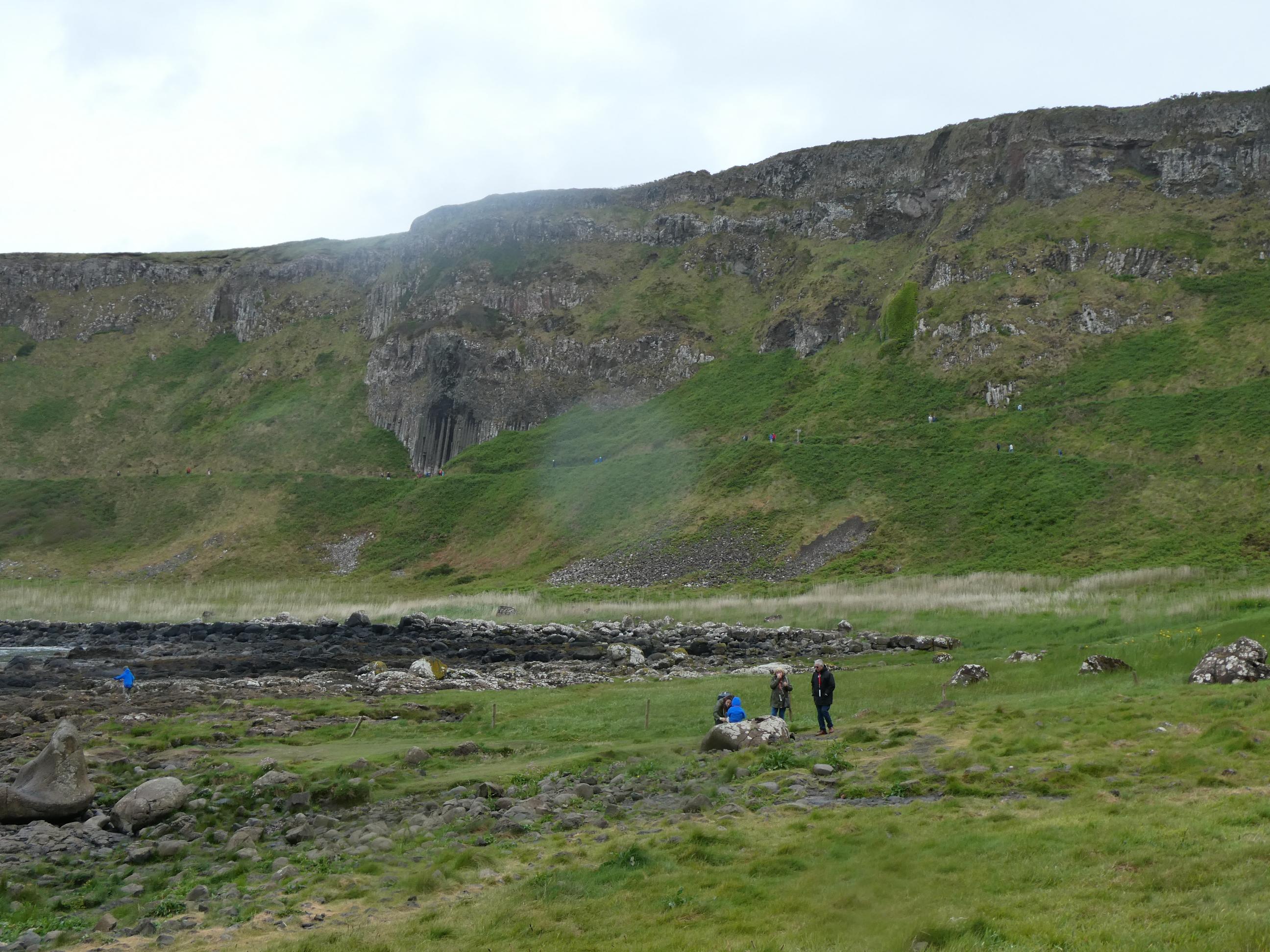
The Giant’s Causeway is a World Heritage Site, and is special because of the spectacular basalt columns that form an undulating landscape of interlocking shapes that vary just enough in height to form a carpet of small stepping stones, stretching from the base of the steep hill all the way down to the water’s edge, where the endless waves crash against them. Visitors swarm all over the rocks, searching for vantage points that look good in selfies or the highest points to climb. Attendants patrol the more dangerous parts of the causeway, assisting climbers who are struggling to gain a steady foothold, or warning those who get a little too bold to move back from the places where a rogue wave might suddenly come crashing in on them.
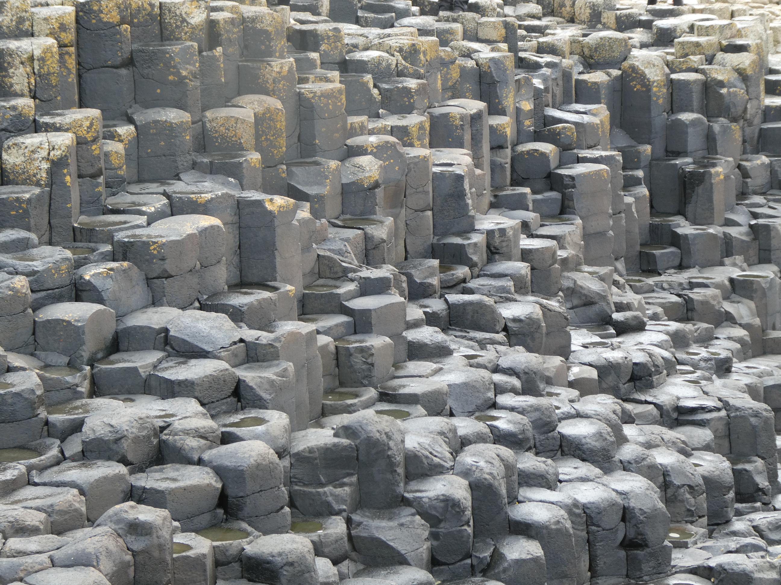
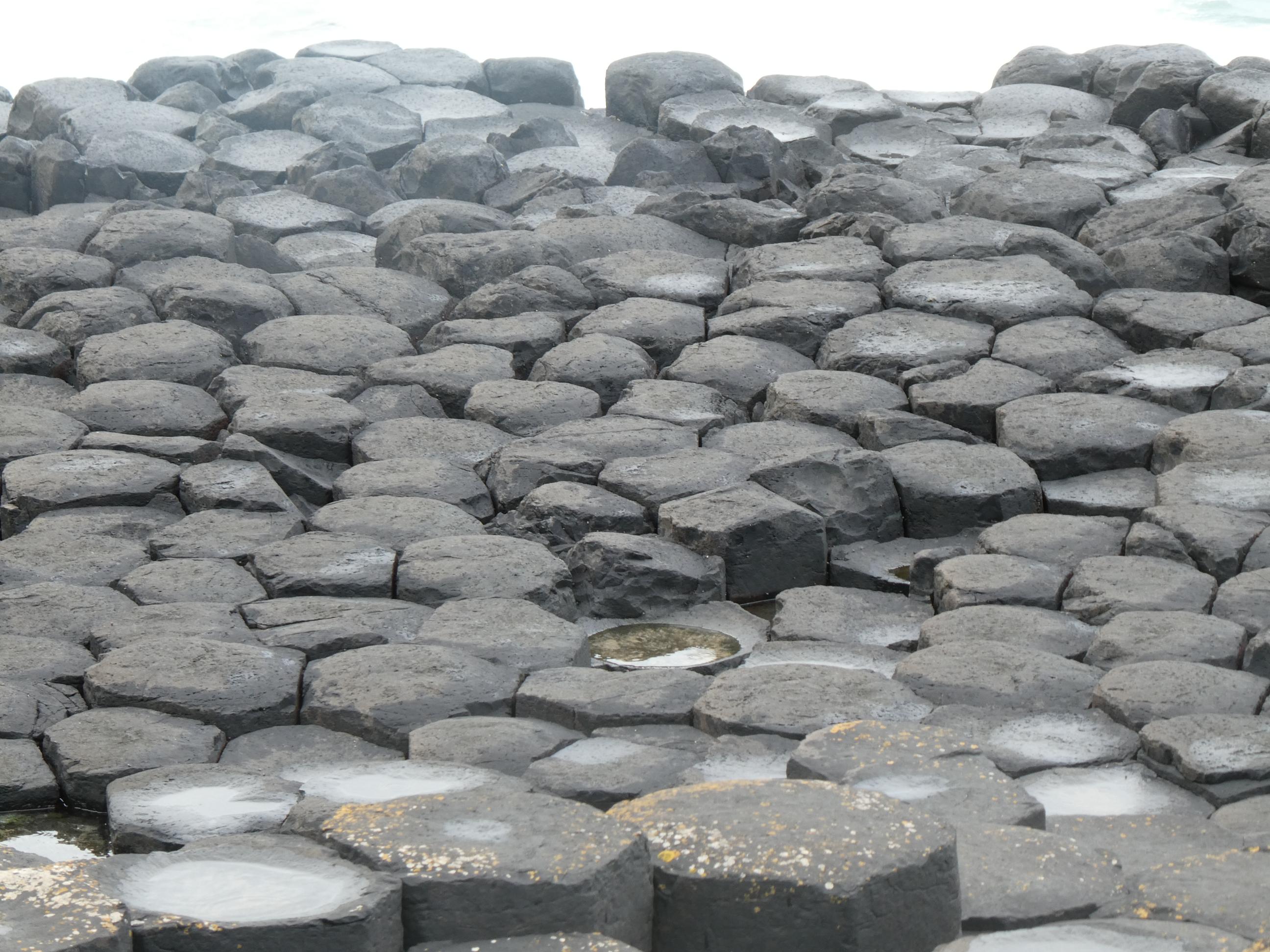
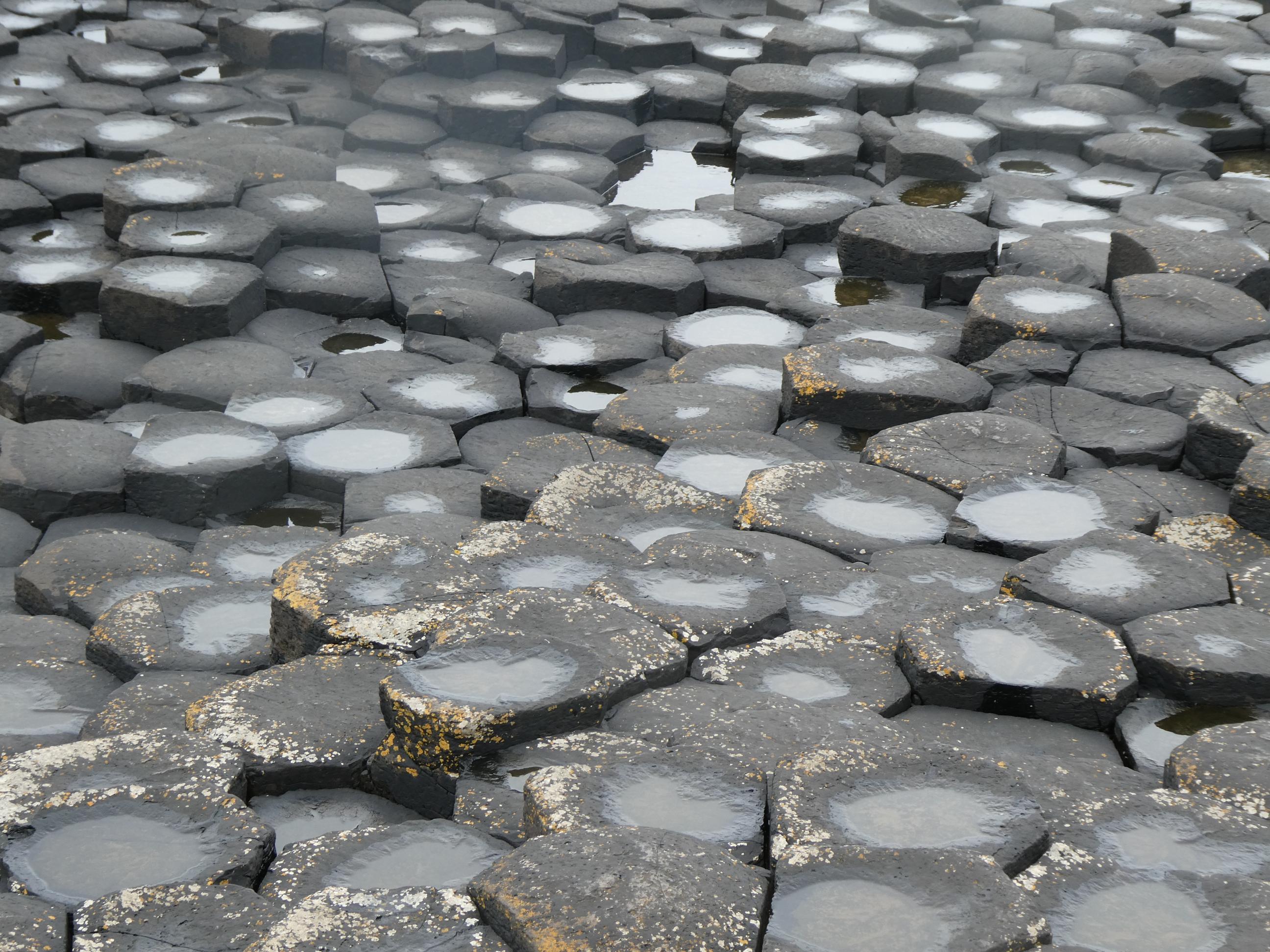
There is such a wide expanse of the basalt column formation here that it’s possible for hundreds of visitors all to find their own space, which is important because it’s tricky walking over this terrain and the last thing you want is a crowded space. It’s also possible to look around and find a space which is completely free of people, allowing you to photograph just the geology alone, and you are often rewarded with some really interesting photos. I’ve added a few examples below. Marg and I, and also Rod and Cornelia, have all seen basalt columns like these elsewhere on our respective travels – on the small Scottish island of Staffa. And it wasn’t surprising to see Staffa listed as the Giant’s Causeway’s closest ‘sibling’ in the visitors’ centre. When we visited Staffa a couple of years ago, we were told of an ancient legend where a Scottish giant, Benandonner, and his Irish rival, Finn MacCool, wanted to fight each other. Finn built the causeway as a bridge so he could reach his rival on Staffa (which is not too far away as the crow flies), but returned to Ireland when he saw the huge size of his rival. When the Scottish giant followed him over to Ireland, he was tricked by Finn’s wife into believing that Finn was really a baby whose father was much, much bigger than the Scottish giant. The Scot fled, ripping up the causeway behind him as he went, to prevent the Irish giant from coming after him. The Irish giant, Finn, having scared off the Scottish giant, was rewarded by having the huge cave on Staffa named after him. It is now called Fingal’s Cave, using the Scottish variation of the name Finn. And the Giant’s Causeway we visited today is all that remains of Finn’s bridge. If you click here, you can see some of my photos and read my thoughts about Staffa.


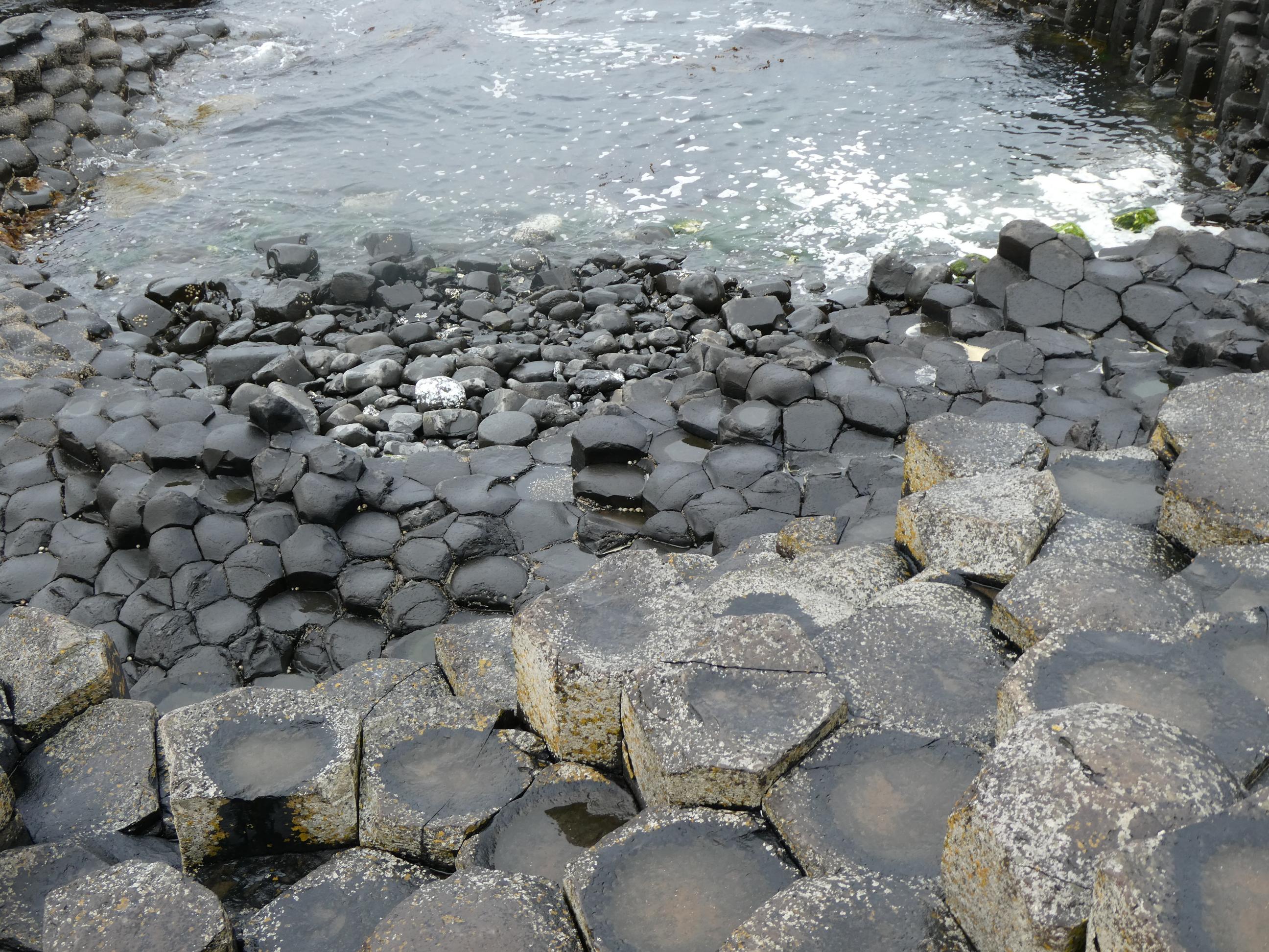


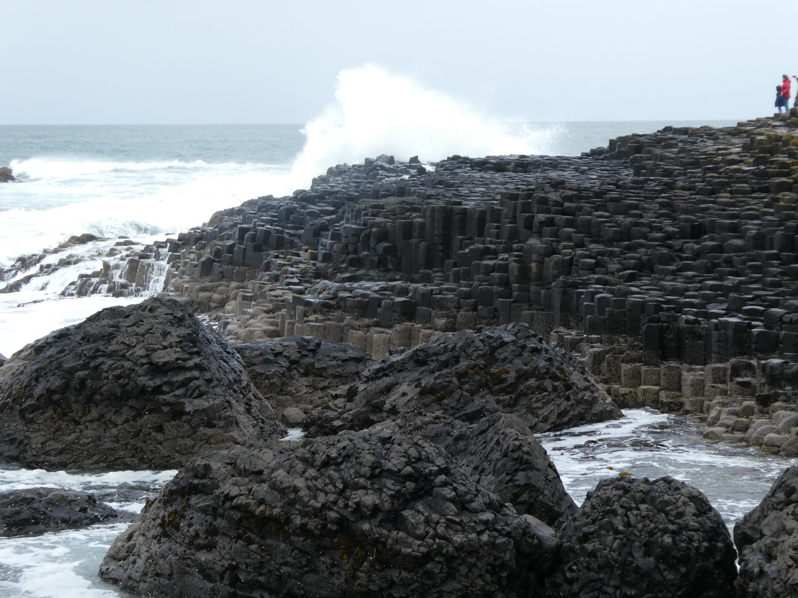
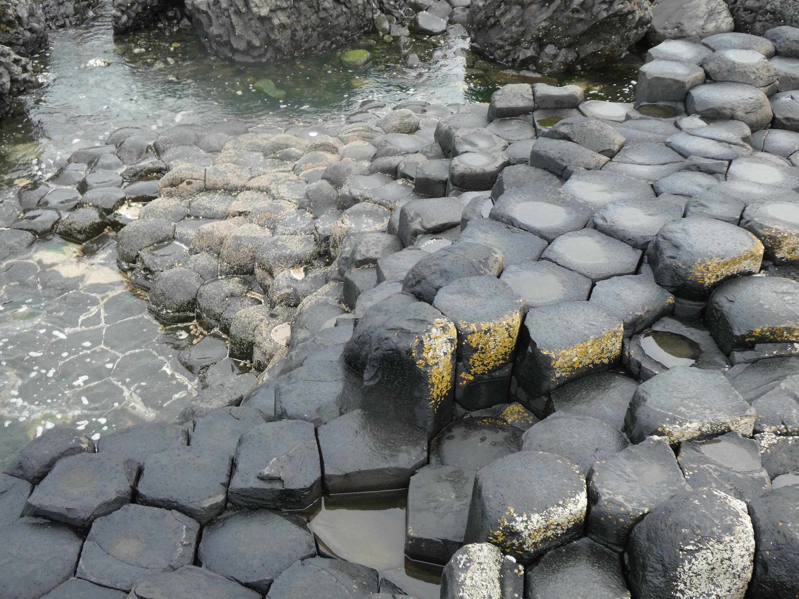


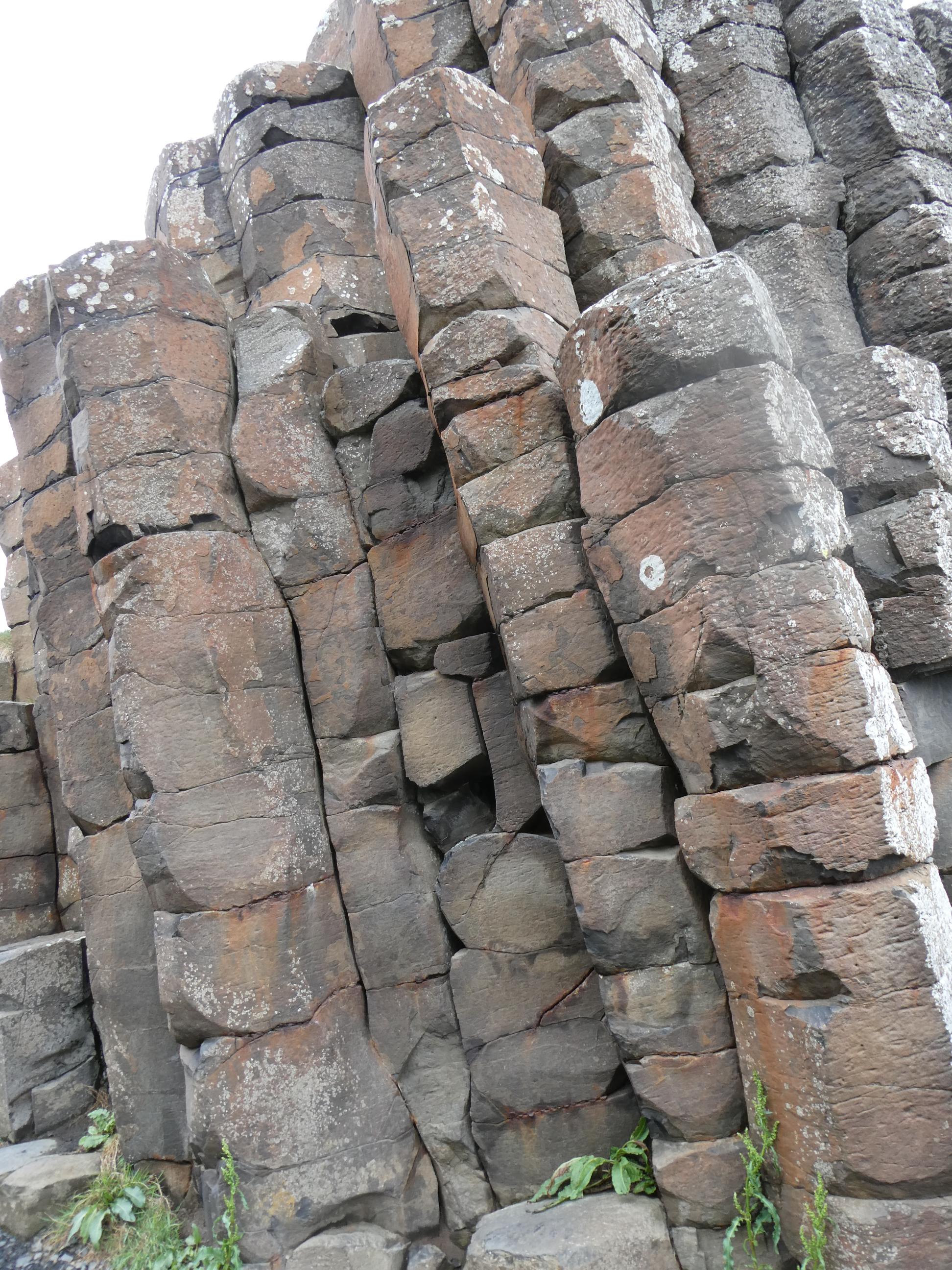
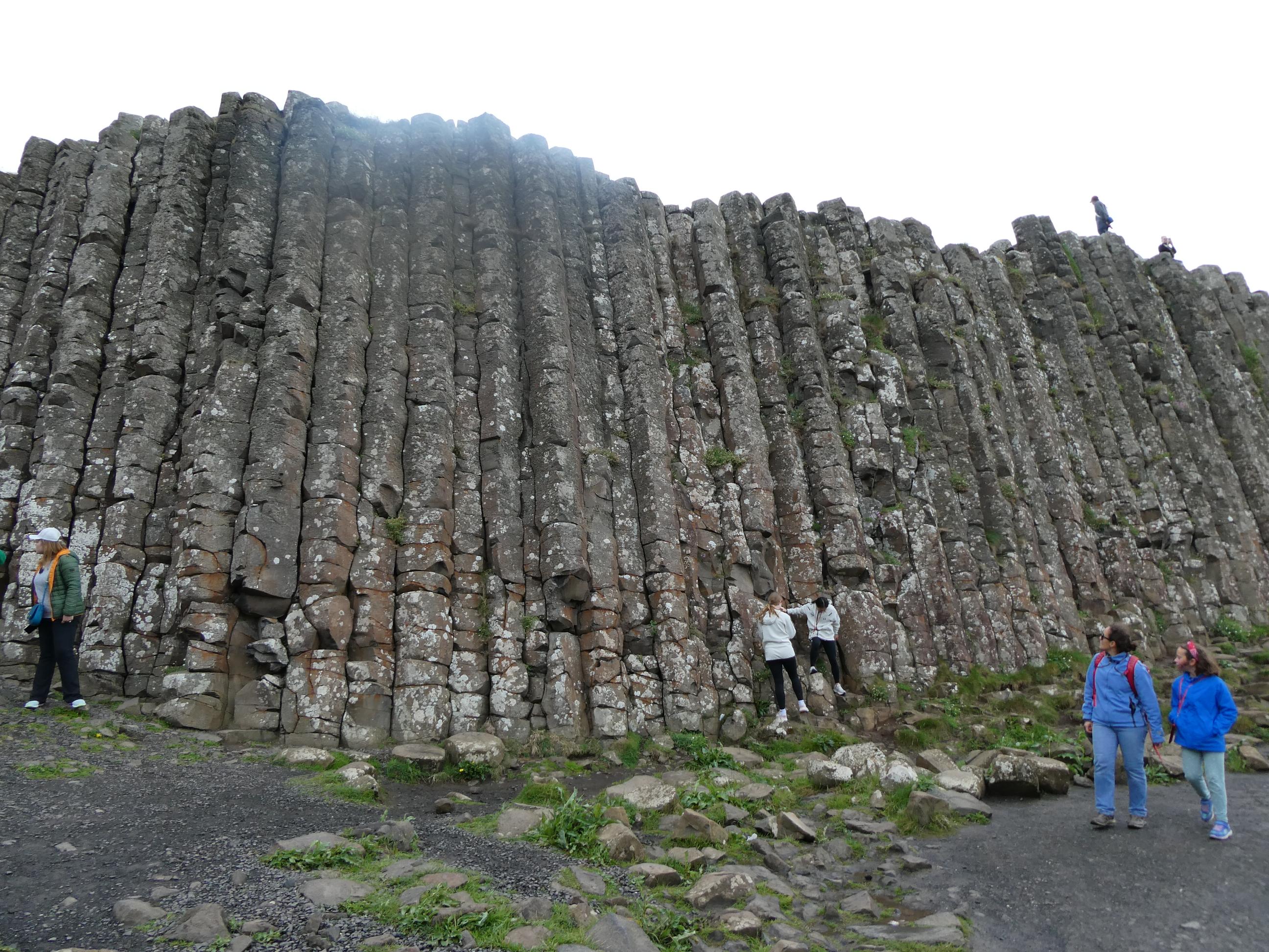
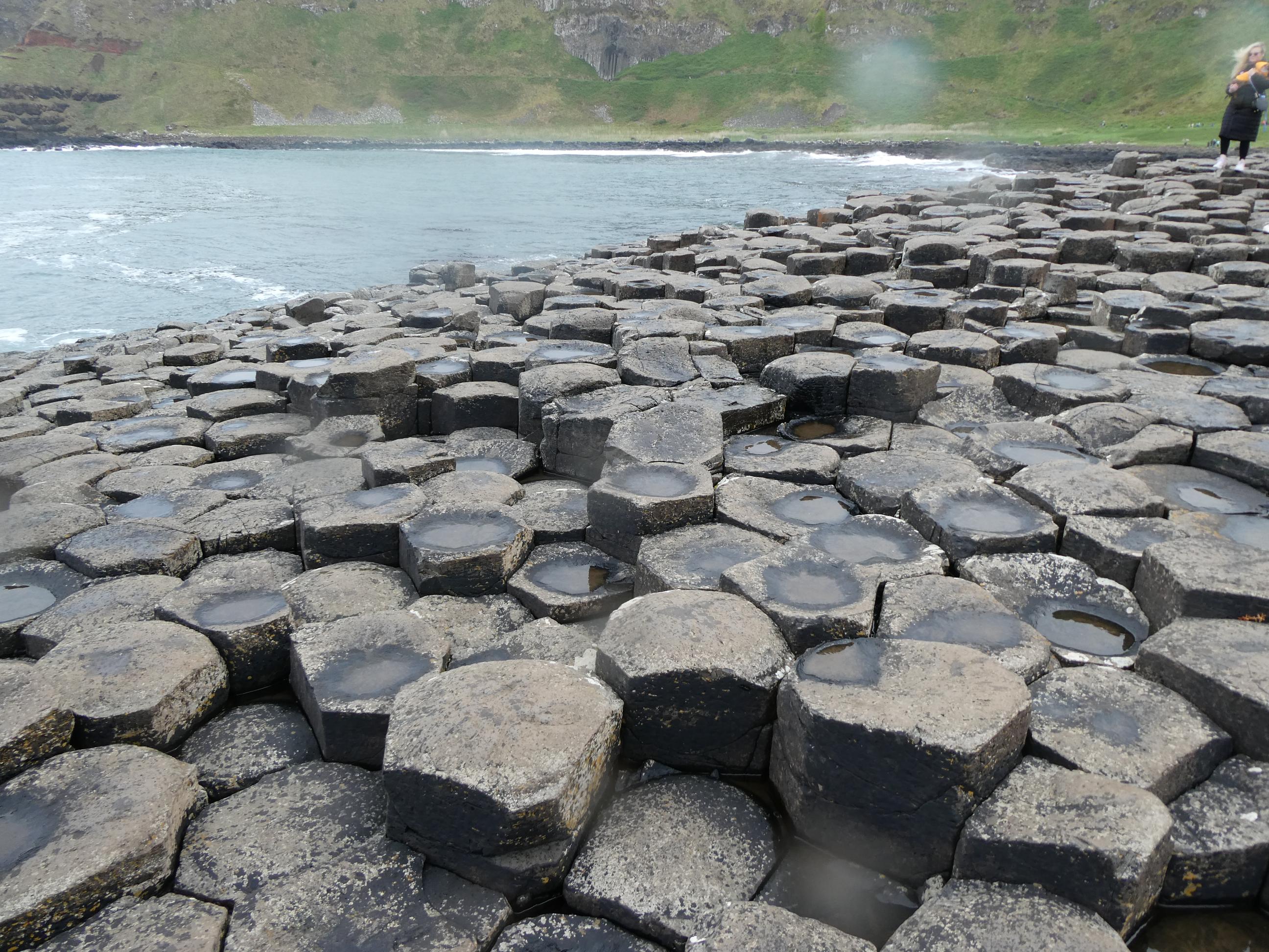
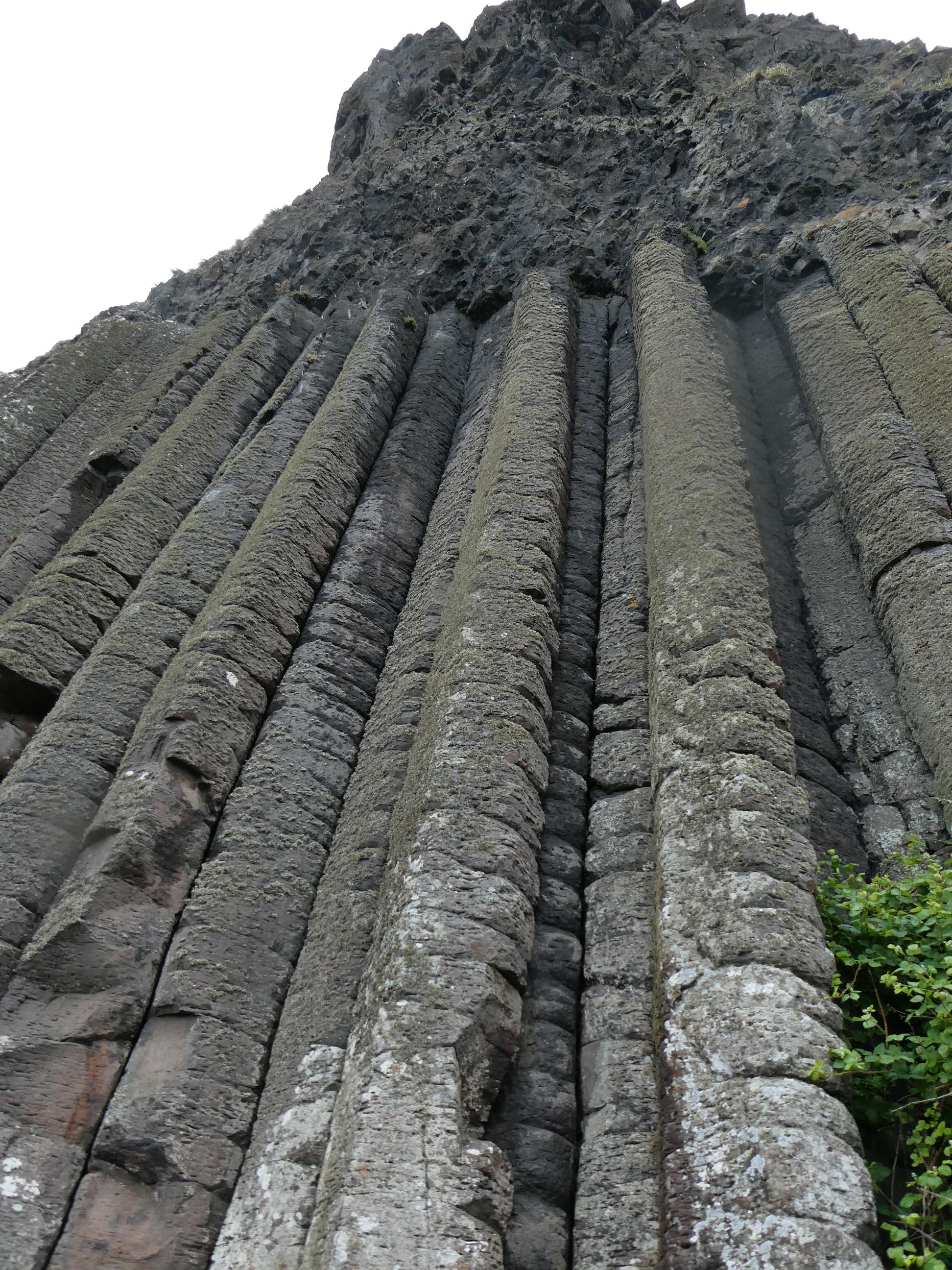
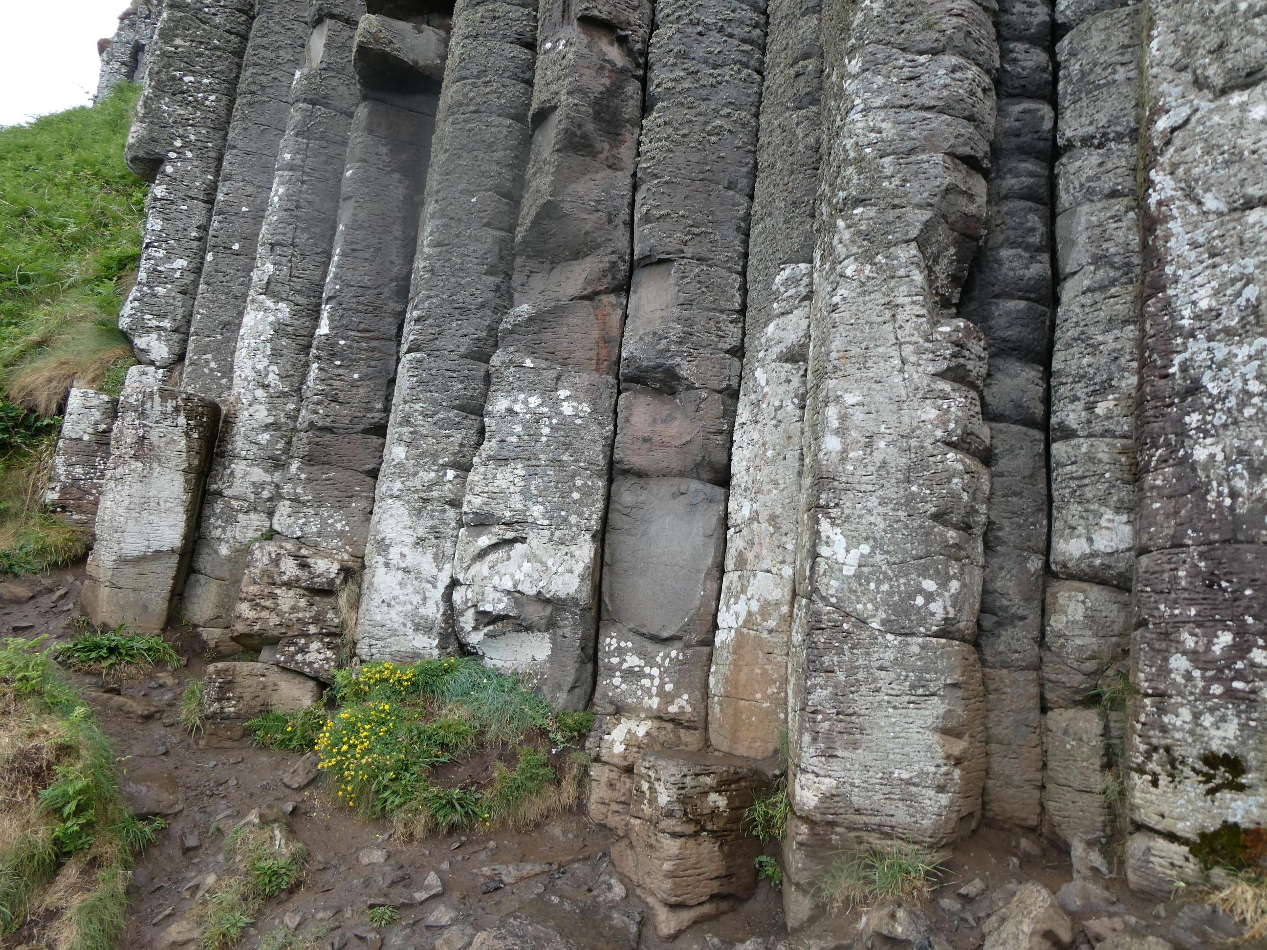
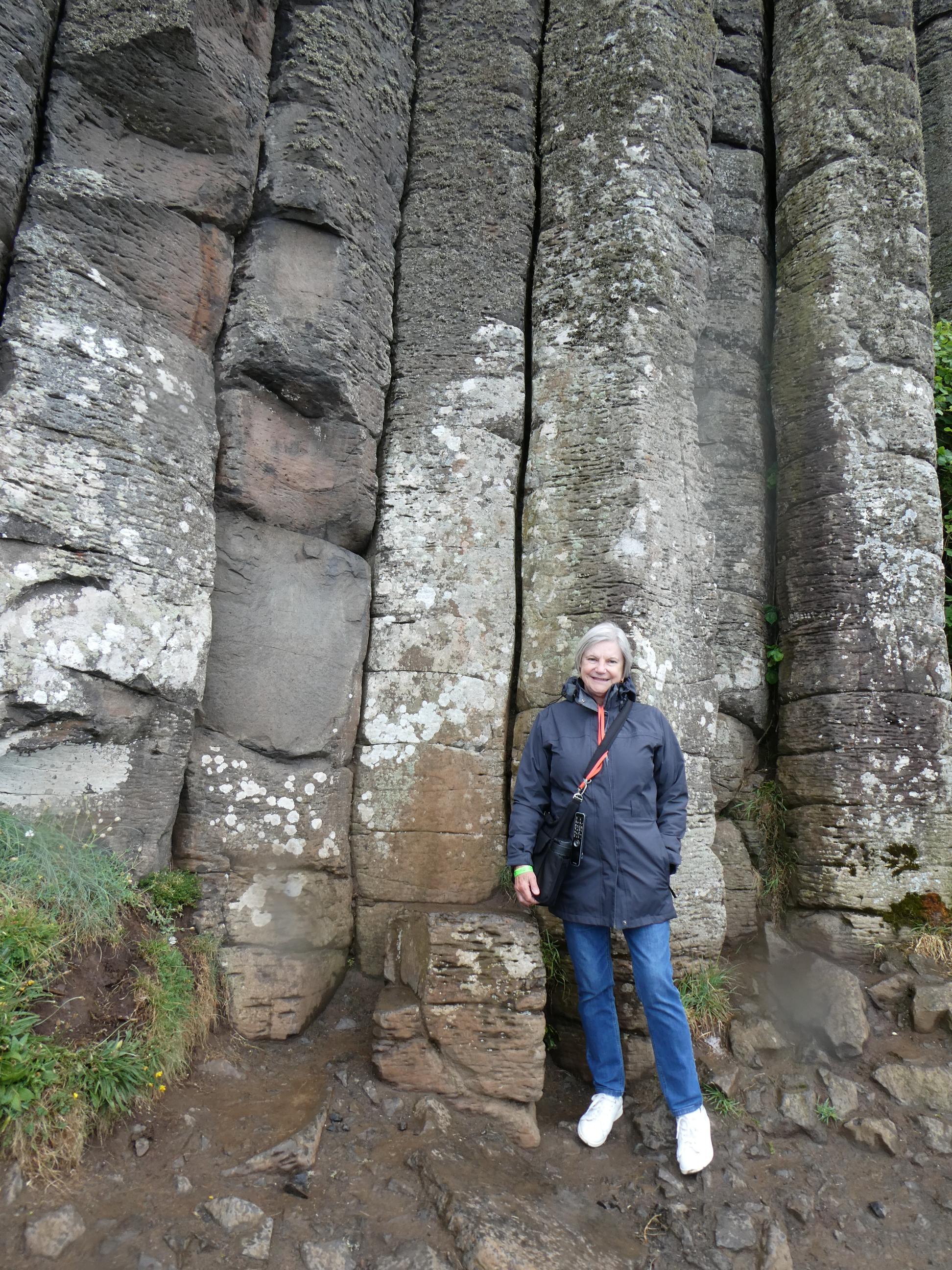
After we explored the Middle Causeway, we passed through a gap known as the Giant’s Gate. Immediately through the gate, we found ourselves facing a wall of giant exposed basalt columns, over ten metres in height, known as the Giant’s Loom. The columns were formed millions of years ago when lava from a volcanic eruption cooled evenly, causing cracking to occur. We walked out onto the Grand Causeway, which is comprised of the largest number of basalt columns and is all that remains of Finn’s original bridge to Staffa. The pentagons and hexagons here are a near perfect fit as they butt up against each other. The rain, which was on and off while we were out there, made some of them quite slippery, so we watched our footsteps carefully. We left the causeway and walked around the next bay and up the slope until we reached the group of monstrous basalt columns known as the Giant’s Organ. It was impossible to step back to get a better photo of them without toppling over the edge. Rod and Cornelia continued on up the trail, while Marg and I turned and walked the kilometre and a half back to the visitors’ centre.


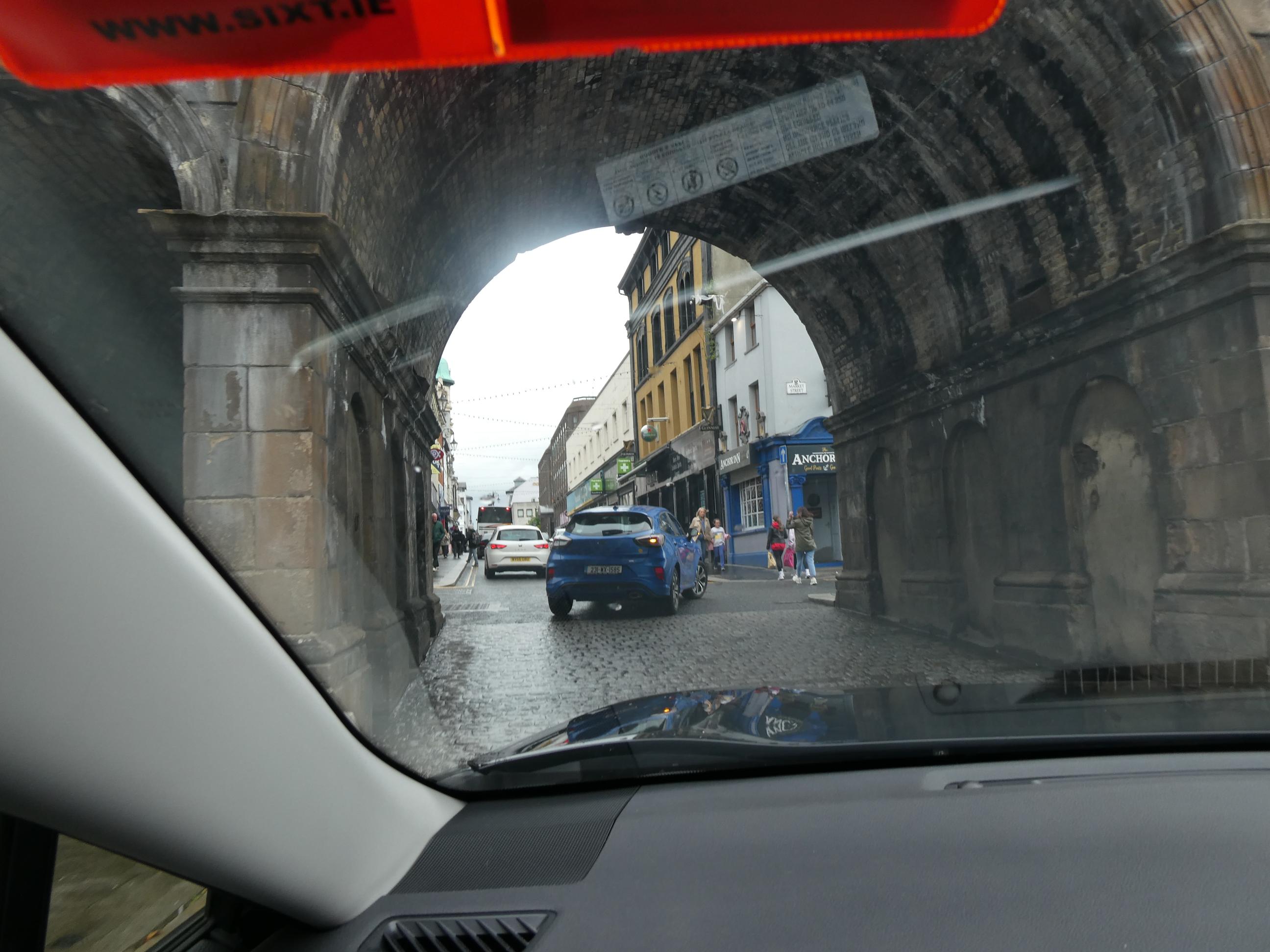
We drove on in the rain to our destination for the night – Londonderry. Or Derry. Depends on who you’re speaking to. You see, this Northern Irish town does not go by one name – it has two. The town is called Londonderry by the British. As we are currently in British controlled Northern Ireland, measuring distances in miles and spending British pounds, the official version of the town’s name is Londonderry, and that’s the name on all the road signs here. But when we were down south in the Republic of Ireland, people called the town Derry and that was the place name used on all the road signs. Many people consider the name interchangeable, and maps usually list both placenames next to a single dot. I’ve been trying to think of anywhere else in the world I know of that goes by two completely different names. All that comes to mind at the moment are Ho Chi Minh City, which many people from the south of Vietnam still call Saigon, and the Gulf of Mexico, which the clown who currently occupies the Oval Office in the White House and the fools who elected him now refer to as the Gulf of America. In just under four years from now, I feel sure it will just be the Gulf of Mexico again.


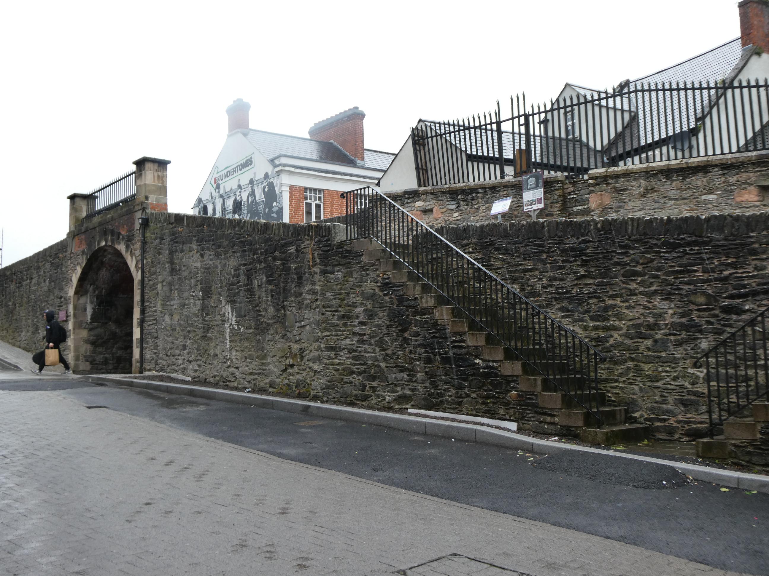
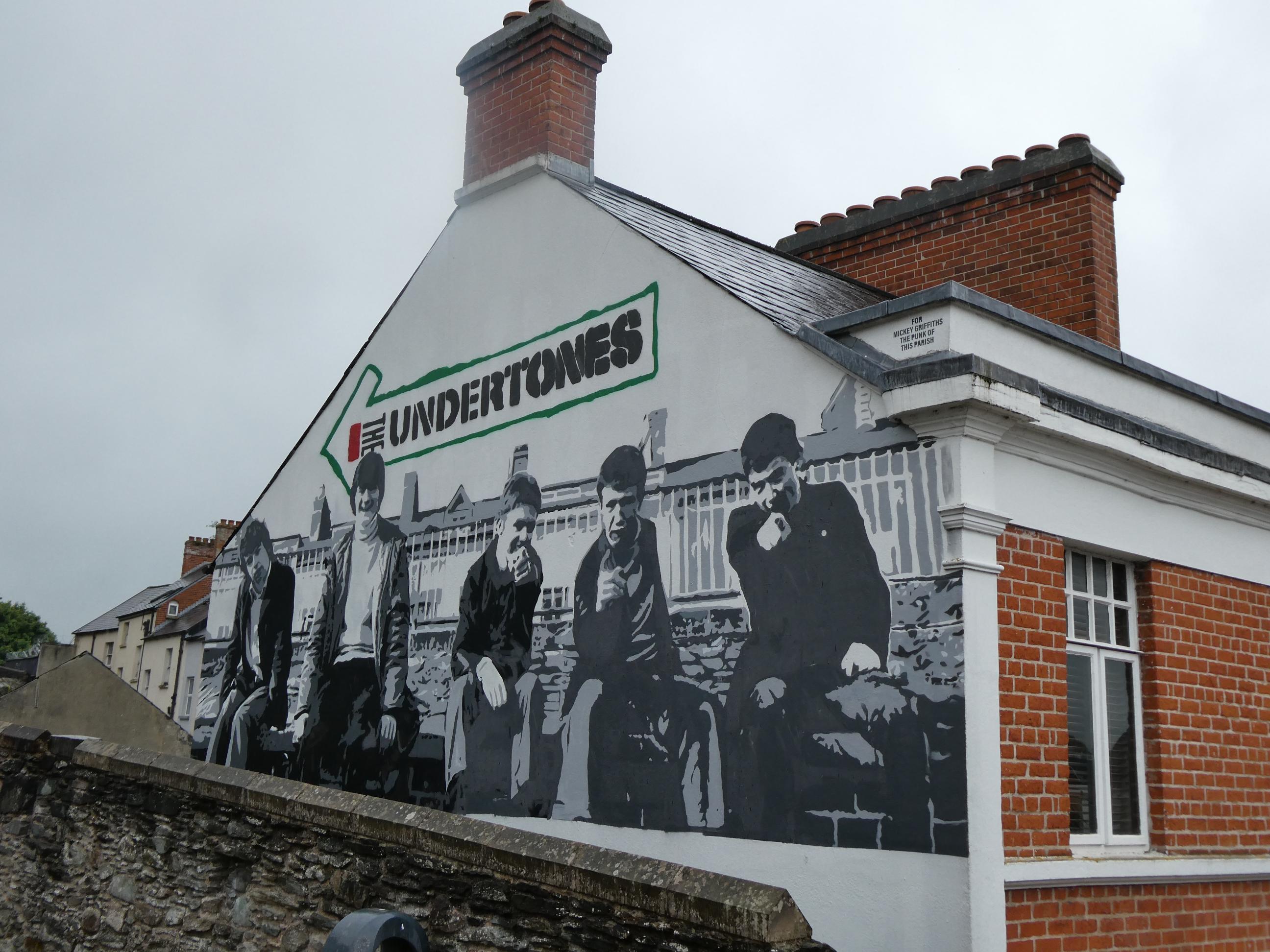
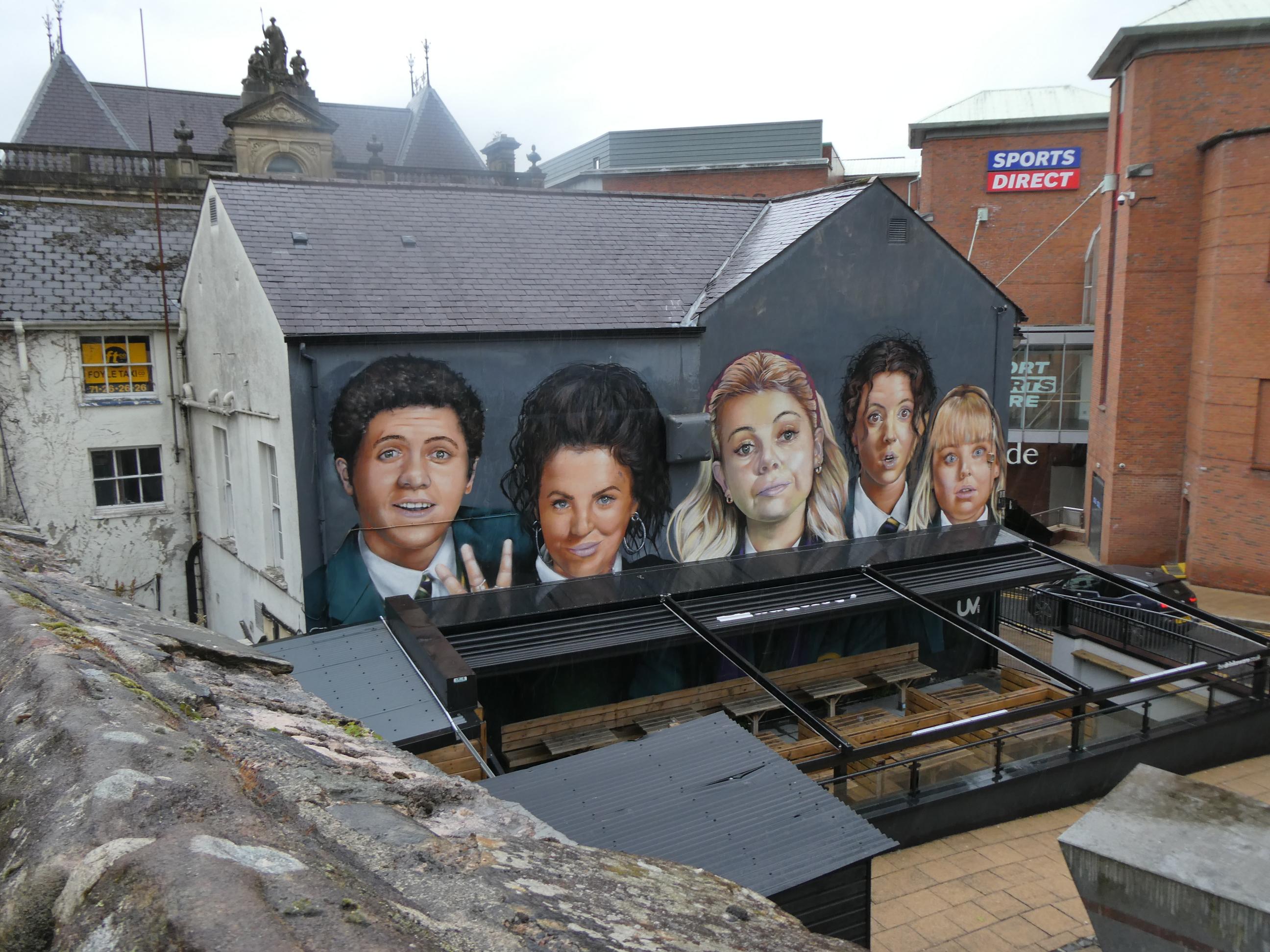
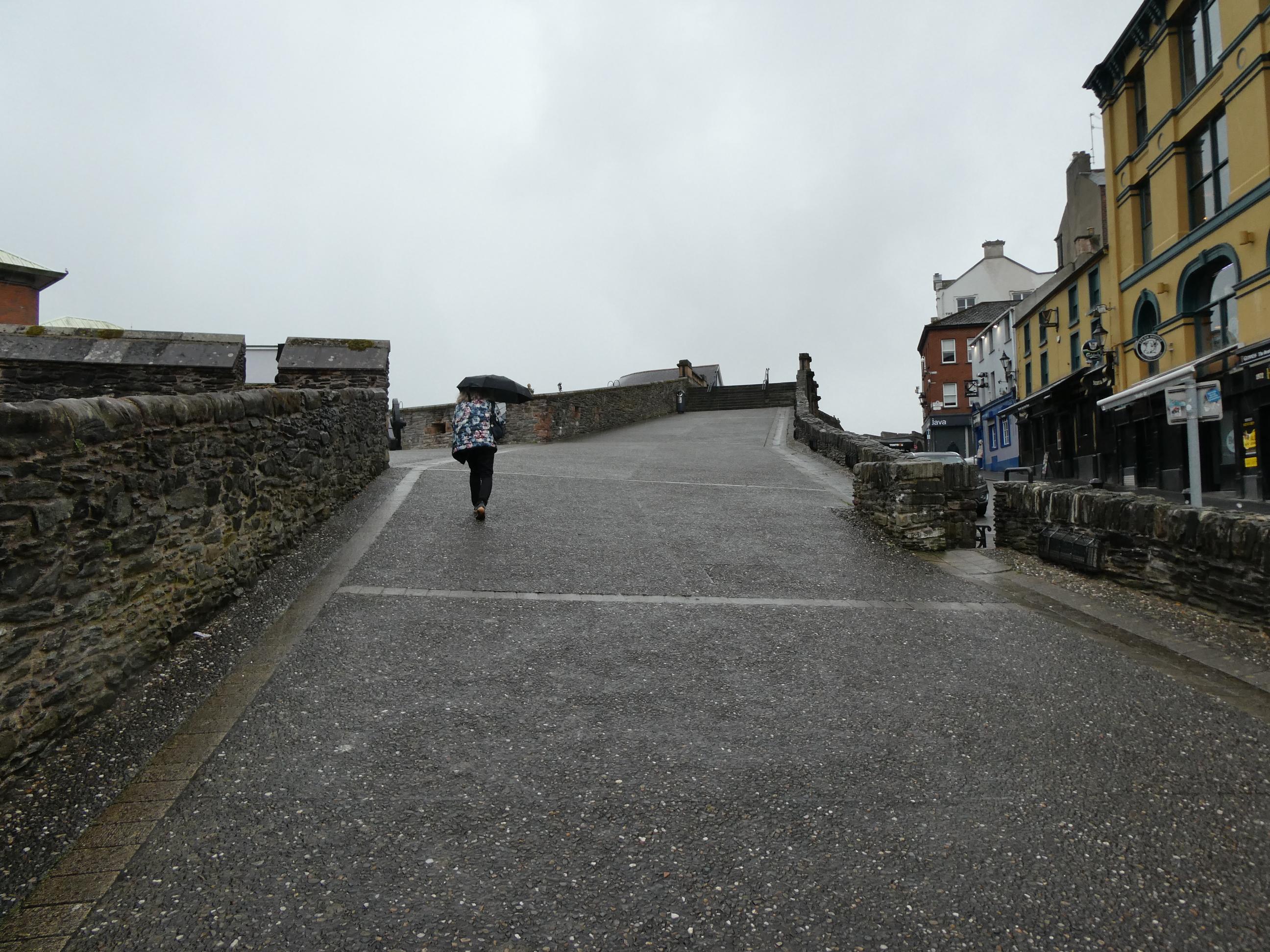
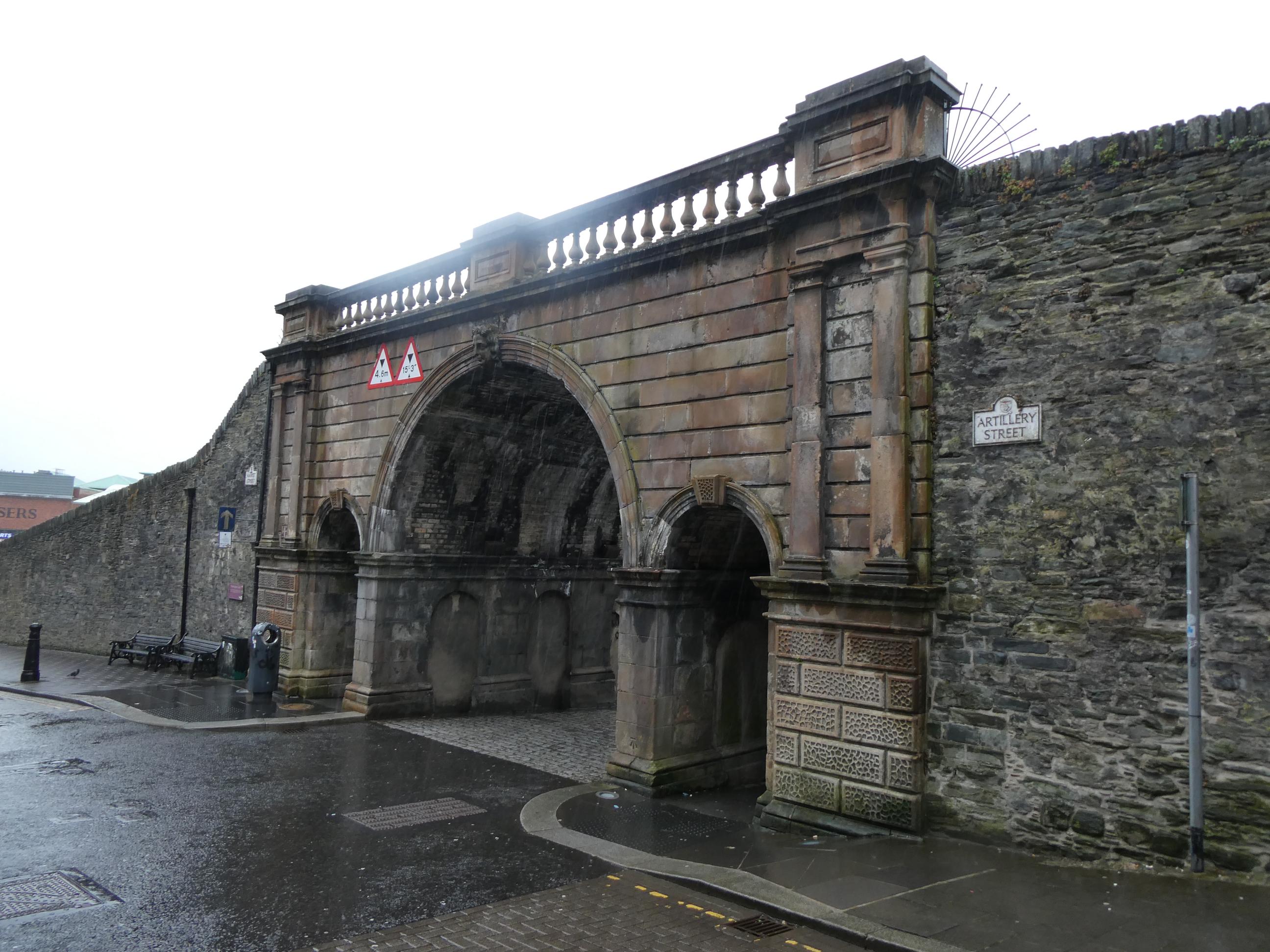
Derry is an easier word to say and spell, so I’ll use it from now on, is a walled city. I’ll write more about the reasons for this in my next post. While Marg went wool shopping before dinner, I walked with Rod and Cornelia along the city wall in driving, bitterly cold rain. I only caught a passing glimpse of some of Derry’s famous murals, but I’m hoping to get a much better look in the morning. It was a town heavily caught up in The Troubles’ period of recent Irish history, so there are famous murals and a peace wall here linked to the sectarian violence that occurred between the mid-1960s and 1998. I didn’t see any murals relating to the conflict tonight. Instead I saw a couple of wonderful murals paying tribute to the factory workers from the shirt factory here, some flowers, a tribute to Derry band ‘The Undertones’, who featured Feargal Sharkey in their lineup and were famously promoted by British radio legend John Peel, and the Derry Girls, which I’ve heard is a great show, but I’ve yet to see. Marg rang to say she was finished at the wool shop, so I headed back through the rain to meet her for dinner.